Kanawha River
The Kanawha River is a 97-mile (156 km) waterway in West Virginia, U.S., formed at Gauley Bridge by the confluence of the New and Gauley rivers. It flows…
What is Kanawha River?
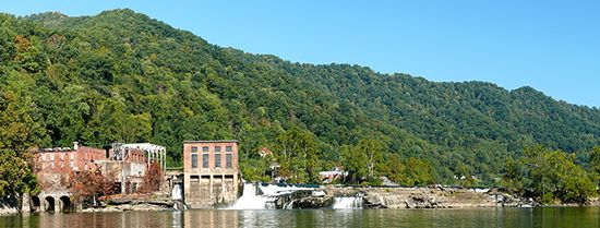
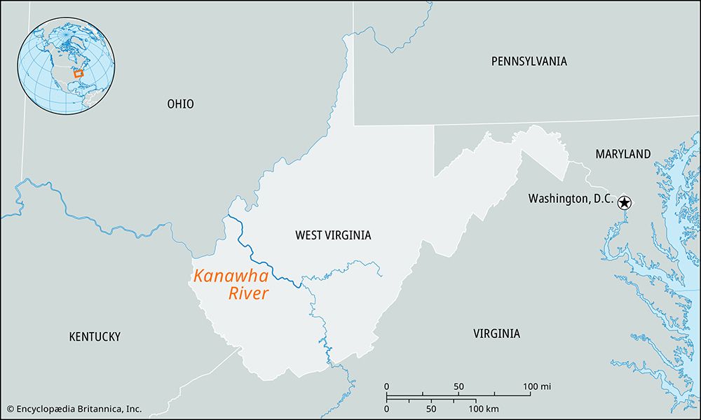
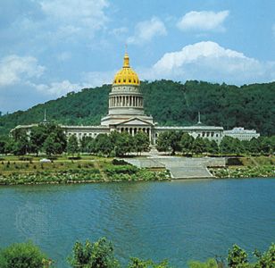
The Kanawha River is a 97-mile (156 km) waterway in West Virginia, U.S., formed at Gauley Bridge by the confluence of the New and Gauley rivers. It flows northwesterly to join the Ohio River at Point Pleasant.12
The river is navigable via a system of dams and locks up to Kanawha Falls. Its valley is economically significant, historically known for extensive salt brine deposits—used to extract chlorine, bromine, calcium, magnesium, and potash—as well as oil and natural gas wells. Major urban centers along the river include Charleston, South Charleston, Belle, Nitro, and Dunbar. In the modern era, the Kanawha Valley has served as a hub for modernized chemical, steel, and glass industries, contributing to the state’s economic development.13
What are the New and Gauley rivers?
The New and Gauley rivers are the two primary waterways that converge at Gauley Bridge, West Virginia, to form the Kanawha River.1
The New River
The New River originates in northwestern North Carolina from the junction of its North and South forks. It flows north for 255 miles (410 km) through Virginia and into West Virginia. The river is notable for its significant infrastructure and protected status, including:4
- Hydroelectric and Flood Control: It is dammed at Claytor Lake in Virginia and at the Bluestone Dam near Hinton, West Virginia.4
- Engineering and Conservation: The river is crossed by the New River Gorge Bridge and is home to the New River Gorge National Park and Preserve, which protects 70,000 acres of the surrounding landscape.4
The Gauley River
The Gauley River is a 104-mile (167 km) waterway located in central West Virginia. It flows west and south to meet the New River, completing the confluence that creates the Kanawha River.15
How does the Ohio River system work?
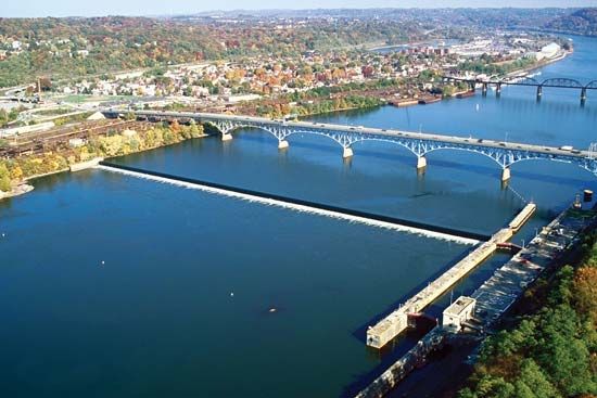
The Ohio River functions as a vital commercial artery in the east-central United States, formed by the confluence of the Allegheny and Monongahela rivers in Pittsburgh. It flows 981 miles southwest to join the Mississippi River at Cairo, Illinois, draining an area of 203,900 square miles.6
The river’s operation is defined by its role in navigation and flood control:
- Navigation: The river is maintained at a navigable depth of 9 feet, supporting the transport of coal, oil, steel, and manufactured goods. While it has a total fall of 429 feet, navigation is managed through locks, most notably at the Falls of the Ohio in Louisville, where locks control a 24-foot descent.6
- Flood Control: To mitigate the impact of seasonal flooding, the federal government—specifically the U.S. Army Corps of Engineers—constructed a series of flood-control dams along the river system.67
- Tributary Network: The system is fed by numerous rivers, including the Tennessee, Wabash, and Kanawha rivers, which contribute to its significant water volume.6
What industries are common in the Kanawha Valley?
The Kanawha Valley has a long-standing industrial history rooted in its abundant natural resources, including bituminous coal, natural gas, petroleum, and salt brines.891
Common industries in the region include:
- Chemical Manufacturing: This remains a primary economic pillar of the valley. Historically, the area was a center for producing base chemicals, including nylon and Lucite, which were used to create consumer plastics.891
- Manufacturing: Beyond chemicals, the region supports diverse manufacturing, such as the production of automobile parts and glass.1013
- Energy and Resource Extraction: The valley continues to be influenced by the extraction of natural resources, including coal and gas, which have historically powered local industrial growth.81
- Service Sector: As the economy has diversified, there has been an increased emphasis on the service sector, particularly in government and health care, to support the urban population.83
Sources
- Kanawha River — Encyclopædia Britannica
- Kanawha — Merriam-Webster
- West Virginia - Economy of West Virginia — Encyclopædia Britannica
- New River — Encyclopædia Britannica
- Gauley — Merriam-Webster
- Ohio River — Encyclopædia Britannica
- U.S. Army Corps of Engineers — Encyclopædia Britannica
- South Charleston — Encyclopædia Britannica
- Charleston — Encyclopædia Britannica
- West Virginia - Resources and power — Encyclopædia Britannica
- West Virginia - Settlement patterns — Encyclopædia Britannica
Published on · 3 min read