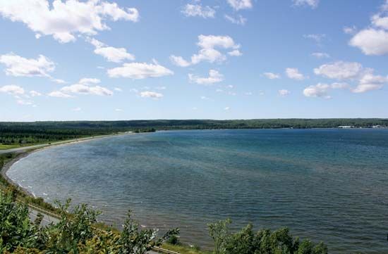
Keweenaw Bay
Keweenaw Bay is an inlet of southern Lake Superior that indents the coast of Michigan's Upper Peninsula for 22 miles (35 km). Measuring up to 12 miles (19…
What is Keweenaw Bay?
Keweenaw Bay is an inlet of southern Lake Superior that indents the coast of Michigan’s Upper Peninsula for 22 miles (35 km). Measuring up to 12 miles (19 km) wide at its mouth, the bay serves as the eastern outlet for the Keweenaw Waterway, which connects through Portage Lake to cut across the Keweenaw Peninsula.12
The area is historically significant as a site used by early explorers, missionaries, and trappers. Today, the bay is a popular summer resort destination known for its fishing. The southern shore is home to the L’Anse Reservation, which belongs to the Keweenaw Bay Indian Community, an Ojibwa (Chippewa) group. Local villages situated along the bay include Baraga, L’Anse, and the village of Keweenaw Bay.1
What is the significance of the Keweenaw Waterway?
The Keweenaw Waterway is a significant 25-mile (40-km) canal that cuts across Michigan’s Keweenaw Peninsula, connecting through Portage Lake to link Keweenaw Bay with the rest of Lake Superior.13
Its primary significance lies in its role as a vital maritime passage. By providing a navigable route across the peninsula, the waterway facilitates boat traffic and supports the regional economy, particularly for the cities of Hancock and Houghton, which are situated along its banks. Historically, the development of such infrastructure was essential for the region, as the Upper Peninsula became a hub for copper mining and other resource extraction industries that required reliable transportation for shipping goods.34
Who are the Ojibwa people of the Keweenaw Bay Indian Community?
The Keweenaw Bay Indian Community is a federally recognized tribe of Ojibwe (also known as Chippewa) people whose reservation, the L’Anse Reservation, is located along the southern shore of Keweenaw Bay in Michigan’s Upper Peninsula.51
The Ojibwe are an Algonquian-speaking Indigenous group who historically occupied the region near the St. Mary’s River and the Upper Peninsula. Traditionally, the Ojibwe lived in migratory bands that dispersed into family units for autumn hunting and gathered at fishing sites during the summer. Their culture was deeply connected to the land, utilizing birch bark for canoes and dwellings, and relying on resources like wild rice for sustenance. A central element of their spiritual life was the Midewiwin, or Grand Medicine Society, a religious organization that provided prestige and spiritual guidance to its members.5
Today, the community maintains its heritage while residing in a region historically significant to early explorers, missionaries, and the fur trade.51
How was the Keweenaw Peninsula formed geologically?
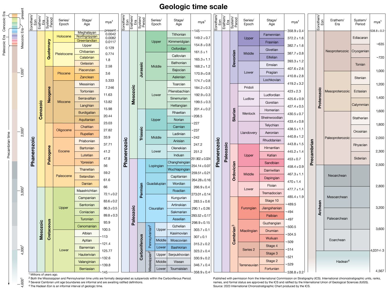
The geological formation of the Keweenaw Peninsula is defined by the Keweenawan System, a sequence of late Precambrian rocks that are exceptionally thick, reaching approximately 10,700 meters (35,000 feet).6
The region’s unique landscape was shaped by massive volcanic activity during the Middle Keweenawan period. It is estimated that roughly 100,000 cubic kilometers (24,000 cubic miles) of lava were produced during this time. The immense weight of these lava flows caused the Earth’s crust to sag, creating the basin that is now occupied by Lake Superior.6
Following these volcanic events, the region accumulated significant deposits of reddish sandstones, siltstones, shales, and conglomerates. The peninsula, which projects into Lake Superior, serves as the namesake for these prominent geological exposures.61
Sources
- Keweenaw Bay — Encyclopædia Britannica
- Keweenaw Peninsula — Merriam-Webster
- Lake Superior — Encyclopædia Britannica
- Michigan - Statehood and growth — Encyclopædia Britannica
- Ojibwe — Encyclopædia Britannica
- Keweenawan System — Encyclopædia Britannica
Published on · 2 min read