Korea Bay
The major ports located along Korea Bay include several key cities in both North Korea and China.
What are some of the major ports located along Korea Bay?
The major ports located along Korea Bay include several key cities in both North Korea and China.
The primary ports are:
- North Korea: The cities of Namp’o and Sinŭiju. Namp’o serves as the outport for the North Korean capital, Pyongyang.12
- China: The cities of Lü-shun and Tan-tung.1
These ports facilitate maritime activity within the inlet, which serves as the northeastern arm of the Yellow Sea and is characterized by its relatively shallow depth and significant tidal range.12
What are the major rivers that flow into Korea Bay?
Korea Bay receives water from several significant rivers. The three major rivers from North Korea that flow into the bay are:
- Yalu River: Also known as the Amnok, this river rises on Mount Paektu and forms the northwestern boundary between North Korea and China.14
- Taedong River: This river flows southwestward through southern North Korea and enters the bay at the port city of Namp’o.15
- Ch’ŏngch’ŏn River: This is the third major North Korean river that drains into the bay.14
In addition to these primary waterways, Korea Bay also receives water from a number of smaller rivers originating in China.1
What is the average depth and size of Korea Bay?
Korea Bay is a relatively shallow inlet that serves as the northeastern arm of the Yellow Sea. Regarding its physical dimensions, the bay is characterized by depths that seldom exceed 164 feet (50 meters).1
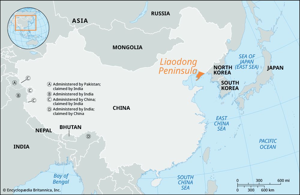
While the provided data does not specify a precise total surface area for Korea Bay, it is described as a flat, shallow marine embayment situated between the Liaodong Peninsula in China and the western coast of North Korea. The bay is also notable for its unusually high tidal range, which fluctuates between 20 and 40 feet (6 to 12 meters).13
Where is Korea Bay located, and what countries border it?
Korea Bay is located as the northeastern arm of the Yellow Sea. It is situated between the Liaodong Peninsula in the Liaoning province of China and the western coast of North Korea.17
Sources
- Korea Bay — Encyclopædia Britannica
- South Korea - Transportation — Encyclopædia Britannica
- Yellow Sea — Encyclopædia Britannica
- Taedong River — Encyclopædia Britannica
- Yalu River — Encyclopædia Britannica
- North Korea - Drainage and soils — Encyclopædia Britannica
- Korea Bay — Merriam-Webster
- Liaodong Peninsula — Encyclopædia Britannica
Published on · 2 min read