Lake Bonneville
Lake Bonneville was a massive prehistoric lake that existed during the Pleistocene Epoch, covering approximately 20,000 square miles across western Utah…
What role did Lake Bonneville play in shaping the current geography of Utah and surrounding areas?
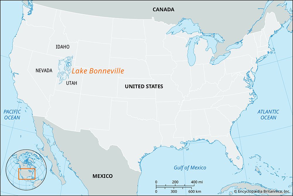
Lake Bonneville was a massive prehistoric lake that existed during the Pleistocene Epoch, covering approximately 20,000 square miles across western Utah, Nevada, and Idaho1. Its presence fundamentally shaped the region’s geography and modern development in several ways:1
- Settlement Patterns: Deposits from the lake’s tributaries formed deltas and canyon mouths, which provided the fertile, irrigable land where nearly all of Utah’s principal cities are now located.2
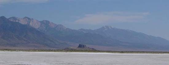
- Geographic Remnants: The lake receded to leave behind distinct features, including the saline Great Salt Lake and Sevier Lake, as well as the freshwater Utah Lake.21
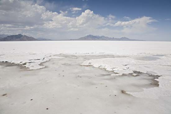
- Unique Landscapes: The region now includes the Great Salt Lake Desert and the Bonneville Salt Flats, the latter of which are world-renowned for land-speed racing.2
- Economic Resources: The brines of the Great Salt Lake remain a vital source for chemical industries producing sodium and potassium sulfates.2
How large was Lake Bonneville at its maximum extent?
At its maximum extent, the prehistoric Lake Bonneville covered an area of approximately 20,000 to 20,100 square miles (about 52,000 square kilometers). During this high-water stage, which occurred about 15,000 years ago, the lake reached a maximum depth of approximately 370 meters (about 1,214 feet).145
How does Lake Bonneville compare to other prehistoric lakes in North America?
During the Pleistocene Epoch, North America hosted two distinct categories of large prehistoric lakes: proglacial lakes and pluvial lakes. Lake Bonneville is classified as a pluvial lake, meaning it formed in a closed basin due to increased precipitation and reduced evaporation during a cooler, wetter climate.1
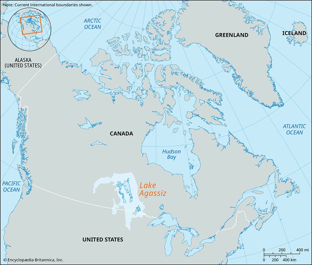
In contrast, many other massive North American prehistoric lakes were proglacial, formed by the melting and movement of the Laurentide Ice Sheet. For example, Lake Agassiz was a vast proglacial lake that covered parts of modern-day Canada and the United States, confined by the ice margin. Similarly, the Great Lakes were carved and filled as glacial lobes scoured out preexisting lowlands.15
While Lake Bonneville was the largest of the approximately 100 pluvial lakes in the Great Basin, it was smaller than some of the continent’s massive proglacial bodies. Other notable pluvial systems include Lake Lahontan, which shared a similar climatic origin to Bonneville.15
What modern-day features or landmarks are remnants of Lake Bonneville?
The prehistoric Lake Bonneville left behind several distinct geographical features and remnants that define the landscape of the western United States today.
Surviving Water Bodies
The most prominent remnants of the ancient lake are the modern-day basins that occupy its former floor:
- Great Salt Lake: A large, saline lake in northwestern Utah that serves as a major site for chemical industries, producing potassium and sodium sulfates.1
- Utah Lake: A freshwater lake that remains as a smaller vestige of the original system.1
- Sevier Dry Lake: Another remnant basin located in the region.1
Geological and Cultural Landmarks
- Great Salt Lake Desert: This vast, arid region covers approximately 4,000 square miles and represents a significant portion of the former lake bed.1
- Bonneville Salt Flats: Located within the desert, these 100 square miles of level, salt-crusted terrain are famous for hosting the Bonneville Speedway, where numerous land-speed records have been set.17
- Urban Foundations: Deposits from the lake’s ancient tributaries formed deltas and canyon mouths, which now serve as the primary locations for most of Utah’s major cities and its most fertile, irrigable land.1
Sources
- Lake Bonneville — Encyclopædia Britannica
- Bonneville, Lake — Merriam-Webster
- Utah - Drainage — Encyclopædia Britannica
- Great Salt Lake — Encyclopædia Britannica
- Pleistocene Epoch - Lacustrine environments — Encyclopædia Britannica
- North America - Lakes of North America — Encyclopædia Britannica
- Bonneville Salt Flats — Encyclopædia Britannica
- Bonneville Salt Flats — Merriam-Webster
Published on · 3 min read