Lake Managua
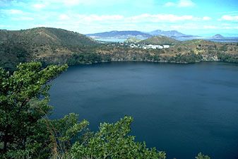
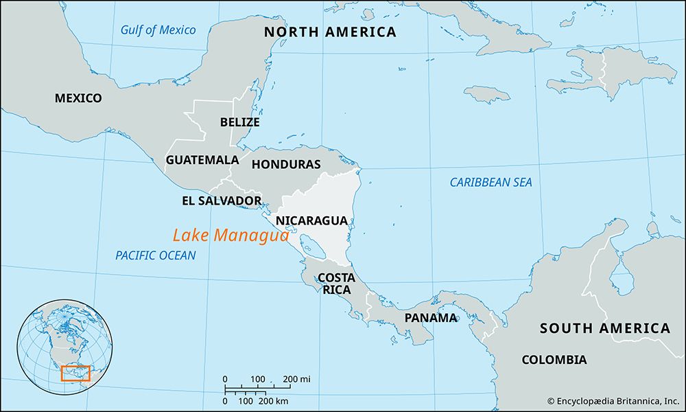
Lake Managua, also known as Xolotlán, is located in a rift valley in western Nicaragua at an elevation of 128 feet (39 meters) above sea level.
What is the geographical location and size of Lake Managua?
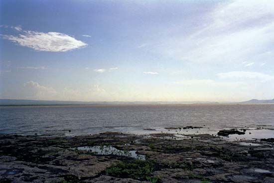
Lake Managua, also known as Xolotlán, is located in a rift valley in western Nicaragua at an elevation of 128 feet (39 meters) above sea level.1
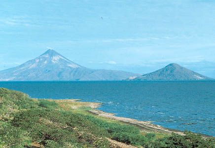
The lake covers an area of approximately 400 square miles (1,035 square km). Its dimensions measure 36 miles (58 km) from east to west and 16 miles (25 km) from north to south, with a maximum depth of 65 feet (20 meters). The national capital, Managua, is situated along its southern shore, while the Momotombo volcano stands on its northwestern edge.1
How does Lake Managua connect to other bodies of water in Nicaragua?
Lake Managua is primarily connected to other bodies of water through the Tipitapa River, which serves as its drainage outlet. This river flows southeast from Lake Managua into Lake Nicaragua, linking the two major basins that were originally part of an ancient ocean bay.12
Beyond this primary connection, Lake Managua is fed by numerous streams originating in the central and Diriamba highlands. While it is part of a region characterized by several freshwater lakes, it remains distinct from the smaller crater lakes surrounding the capital city of Managua, such as Lake Asososca, Lake Jiloá, Lake Masaya, Lake Nejapa, and Lake Tiscapa. Additionally, the lake is situated near Lake Apoyeque, which is located between peaks on the Chiltepe Point peninsula that juts into Lake Managua itself.134
Are there any notable islands or features within Lake Managua?
Lake Managua features several notable geographical characteristics, though it is distinct from its larger neighbor, Lake Nicaragua, in its lack of a major island chain.
- Chiltepe Point: A prominent peninsula that juts into the lake. It is home to Lake Apoyeque, a picturesque lake situated between two peaks on the peninsula.1
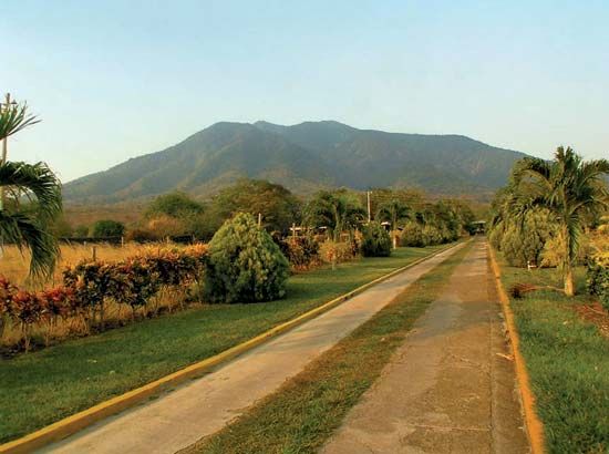
- Momotombo Volcano: While not an island, this significant landmark reaches 4,199 feet (1,280 meters) above sea level and is located directly on the northwestern shore of the lake.3
- Surrounding Crater Lakes: The area around the lake is defined by several smaller freshwater crater lakes, including Lake Asososca, Lake Jiloá, Lake Masaya, Lake Nejapa, and Lake Tiscapa, which are separate from the main body of Lake Managua.1
Unlike Lake Nicaragua, which contains numerous islands formed by a chain of volcanoes—most notably Ometepe Island—Lake Managua does not possess similar large-scale island features.1
What cultural or historical significance does Lake Managua hold for Nicaraguans?
Lake Managua, also known by its indigenous name Xolotlán, holds significant economic and geographical importance for Nicaragua. As the body of water upon which the national capital, Managua, is situated, it serves as a central hub for the country’s commerce and daily life. The lake’s waters have historically provided essential resources, including fish and alligators, and remain a route for shallow-draft vessels.1
Beyond its economic utility, the lake is a defining feature of the nation’s landscape, sitting in a rift valley alongside the prominent Momotombo Volcano. Its history is also marked by resilience; the area has faced significant environmental challenges, most notably during 1998 when Hurricane Mitch caused the lake to overflow, severely impacting local communities. While it lacks the extensive archaeological fame of its neighbor, Lake Nicaragua—which is renowned for its pre-Columbian artifacts and historical role in trans-isthmian transit—Lake Managua remains a vital, integrated component of the Nicaraguan identity and the urban development of its capital city.124
Sources
- Lake Managua — Encyclopædia Britannica
- Lake Nicaragua — Encyclopædia Britannica
- Nicaragua - Drainage — Encyclopædia Britannica
- Managua — Encyclopædia Britannica
Published on · 3 min read