Lake Pontchartrain
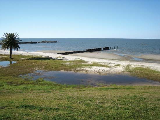
Lake Pontchartrain is technically classified as a tidal lagoon rather than a true lake. This classification is due to its direct connection to the Gulf of…
How was Lake Pontchartrain formed, and what type of water body is it?
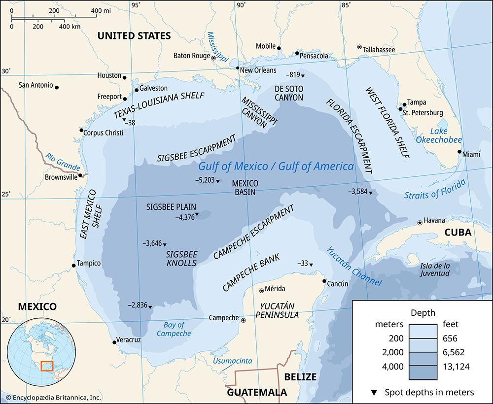
Lake Pontchartrain is technically classified as a tidal lagoon rather than a true lake. This classification is due to its direct connection to the Gulf of Mexico via a narrow passage known as The Rigolets, which allows for tidal influence.1
While the provided information identifies its nature as a tidal lagoon, it does not specify the geological formation process of the water body. Its waters are typically brackish, though salinity levels can fluctuate significantly depending on the influx of freshwater from the Mississippi River through the Bonnet Carre Spillway.1
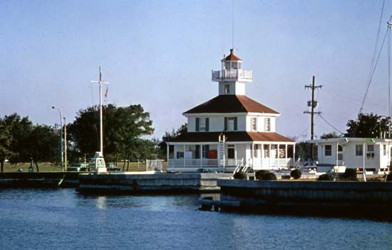
How has human activity, including the construction of the Causeway Bridge, impacted Lake Pontchartrain?
Human activity has significantly altered the environment of Lake Pontchartrain through infrastructure development and flood management systems.
Infrastructure and Connectivity
The Lake Pontchartrain Causeway, consisting of two parallel spans completed in 1956 and 1969, serves as a major transportation link across the lake. While these bridges are recognized as some of the longest overwater spans in the world, they have also become integrated into the local ecosystem, notably serving as a stopover for large flocks of migrating purple martins.13
Flood Management and Environmental Impact
Human intervention is most pronounced in the management of water levels and flood protection:
- Bonnet Carre Spillway: Constructed by the U.S. Army Corps of Engineers between 1929 and 1931, this emergency floodway is designed to divert Mississippi River water into the lake to protect New Orleans from catastrophic flooding.45
- Salinity and Ecosystems: The influx of river water through the spillway can dramatically reduce the lake’s salinity, directly impacting the brackish environment that supports various game fish and aquatic birds.1
- Levee Systems: The lake is surrounded by levee systems intended to protect surrounding communities. During Hurricane Katrina in 2005, the failure of these levees led to the inundation of New Orleans, demonstrating the critical, yet vulnerable, role these human-made structures play in regional safety.1
How did Hurricane Katrina affect Lake Pontchartrain and its surrounding areas?
During Hurricane Katrina in August 2005, Lake Pontchartrain became a central factor in the catastrophic flooding of New Orleans and surrounding communities.61
Impact on Levees and Flooding
The storm surge generated by the hurricane, combined with approximately 10 inches of rainfall, completely overwhelmed the levee system designed to hold back the waters of Lake Pontchartrain and Lake Borgne. These protective structures failed in several ways:67
- Overtopping: The storm surge rose above the height of the levees, particularly along the 17th Street Canal and the Industrial Canal.6
- Breaching: Several structures collapsed outright due to the intense buildup of water pressure behind them.6
As a result, the floodwaters inundated the city, leaving an estimated 80 percent of New Orleans underwater by August 30. The situation worsened nearly a month later when a second hurricane passed to the west, causing levees to be overtopped again and leading to further flooding in parts of the city.671
Infrastructure Resilience
While the surrounding levee systems suffered devastating failures, the Pontchartrain Causeway—the twin-span bridge crossing the lake—remained largely undamaged by the storm.1
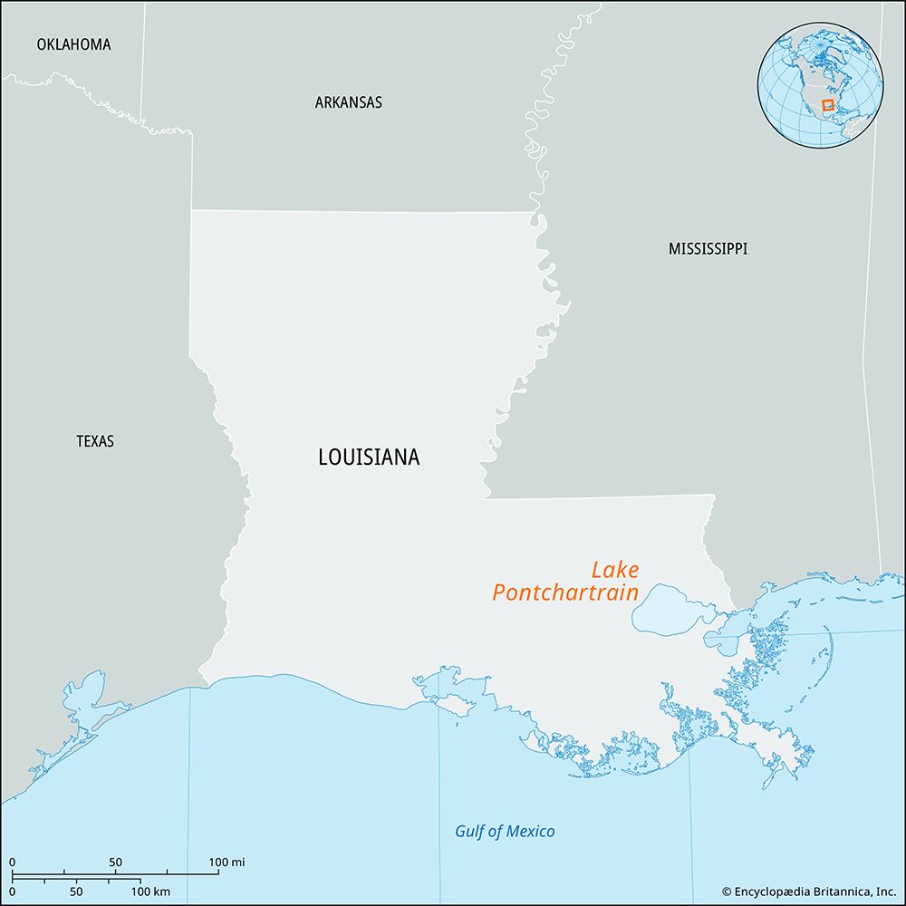
What is the geographical location and size of Lake Pontchartrain?
Lake Pontchartrain is located in southeastern Louisiana, United States, situated north of New Orleans and east of the Mississippi River.
Technically a tidal lagoon rather than a traditional lake, it connects to the Gulf of Mexico through a narrow passage known as The Rigolets. Its dimensions and size are as follows:
Sources
- Lake Pontchartrain — Encyclopædia Britannica
- Pontchartrain, Lake — Merriam-Webster
- Lake Pontchartrain Causeway: Top Questions — Encyclopædia Britannica
- Bonnet Carre Spillway — Encyclopædia Britannica
- Mississippi River flood of 2011 — Encyclopædia Britannica
- Hurricane Katrina — Encyclopædia Britannica
- Hurricane Katrina: Top Questions — Encyclopædia Britannica
Published on · 3 min read