Lake Tana
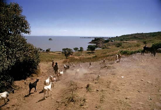
Lake Tana is the largest lake in Ethiopia, situated in a depression on the country's northwest plateau at an elevation of 6,000 feet (1,800 meters) above sea…
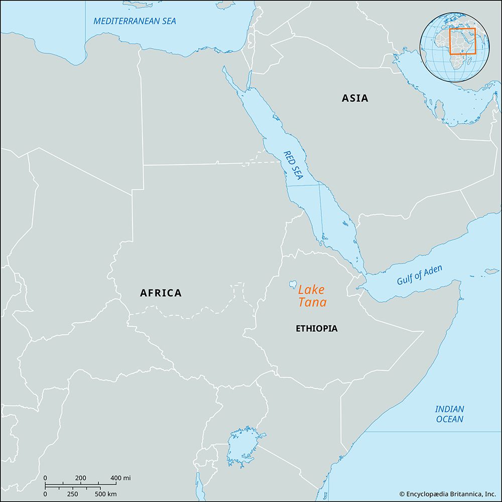
What is the geographical location and size of Lake Tana in Ethiopia?
Lake Tana is the largest lake in Ethiopia, situated in a depression on the country’s northwest plateau at an elevation of 6,000 feet (1,800 meters) above sea level.1
Regarding its size and dimensions:
- Surface Area: The lake covers approximately 1,418 square miles (3,673 square km).1
- Drainage Area: The surrounding drainage basin encompasses 4,500 square miles (11,650 square km).1
- Depth: It reaches a maximum depth of 45 feet (14 meters).1
The lake serves as the primary reservoir for the Blue Nile, which exits the southern end of the lake near the city of Bahir Dar.1
What historical and cultural significance does Lake Tana hold for Ethiopia?
Lake Tana holds deep historical and cultural significance for Ethiopia, serving as a focal point for both religious tradition and exploration.
Religious and Historical Heritage
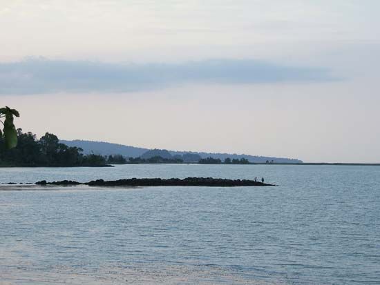
During the Middle Ages, the lake became a center for religious life, evidenced by the construction of Coptic monasteries on islands such as Dak and Daga. These sites remained significant enough to attract visits from Portuguese Jesuits during the 16th and 17th centuries. Historically, the lake was known to the ancient Greeks by the names Pseboa or Koloe.
Exploration and Tradition
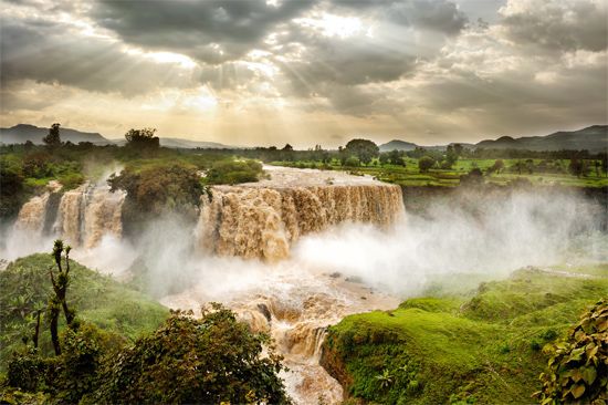
The region is famously linked to the quest for the source of the Nile. In 1770, the Scottish explorer James Bruce reached the southern shores of the lake while searching for the river’s origin. Culturally, the lake remains tied to traditional practices, such as the use of the tanqua, an ancient style of papyrus reed boat still utilized for fishing today. Additionally, the nearby Tisisat Falls, formed by the Blue Nile, represent a major natural landmark associated with the lake’s outflow.
What is the source of Lake Tana, and how does it connect to the Blue Nile?
Lake Tana is fed by approximately 60 tributaries, the most significant of which is the Little Abbay. Rising south of the lake near Mount Amedamit, the Little Abbay is considered the reputed source of the Blue Nile, stretching about 85 miles (135 km) before entering the lake.1
The connection between the lake and the river is direct: Lake Tana serves as the primary reservoir for the Blue Nile (also known as the Abbay). The river drains from the lake’s southern extremity near the city of Bahir Dar. Shortly after exiting the lake, the water encounters a lava barrier, where it drops 138 feet (42 meters) to form the Tisisat Falls before continuing its journey through a series of rapids and a deep canyon toward Sudan and eventually joining the White Nile at Khartoum.13
What role does Lake Tana play in Ethiopia’s hydroelectric power generation?
Lake Tana serves as the primary reservoir for the Blue Nile, and its outflow is utilized for hydroelectric power generation. Specifically, a section of the Tisisat Falls—where the river drops 138 feet (42 meters) over a lava barrier near the city of Bahir Dar—has been harnessed to produce electricity.1
While Lake Tana is a critical reservoir for the river system, it is distinct from other major hydroelectric projects on the Blue Nile, such as the Grand Ethiopian Renaissance Dam, which is located in the Benishangul-Gumaz region and serves as a significant source of power for Ethiopia and serves as a significant source of power for Ethiopia.3
Sources
- Lake Tana — Encyclopædia Britannica
- Tana, Lake — Merriam-Webster
- Blue Nile River — Encyclopædia Britannica
- Blue Nile — Merriam-Webster
- Tana River — Encyclopædia Britannica
Published on · 3 min read