Fula Rapids
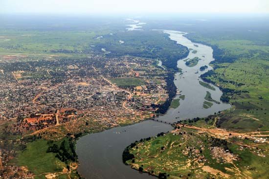
Fula Rapids are a series of rapids located on the Baḥr al-Jabal (Mountain Nile) in South Sudan, situated approximately 4 miles (6.5 km) downstream from…
What is Fula Rapids?
Fula Rapids are a series of rapids located on the Baḥr al-Jabal (Mountain Nile) in South Sudan, situated approximately 4 miles (6.5 km) downstream from Nimule.1
The river is divided by a large island, with the eastern channel carrying the majority of the water flow. At the southern end of this island, the river enters a 2-mile (3.2-km) stretch of rapids that drops about 20 feet (6 metres). The water then surges through a narrow gorge exceeding 300 feet (90 metres) in length, plunges into a deep cavity less than 40 feet (12 metres) wide, and continues over further rapids beyond the island’s northern end.1
What is the Bahr al-Jabal river?
The Baḥr al-Jabal (Mountain Nile) is the section of the Nile River that stretches from Nimule, near the border of Uganda, to Malakal in South Sudan.2
Spanning 594 miles (956 km), the river flows northward from Nimule, passing over the Fula Rapids and through Juba, which serves as the head of navigation. A significant portion of its course winds through Al-Sudd, a vast, papyrus-choked swamp where the river loses approximately half of its water volume.2
As it continues, the river receives the Baḥr al-Ghazāl at Lake No. It then turns east to join the Sobat River above Malakal, where it officially becomes the White Nile. Along its banks, dense vegetation—including reeds, elephant grass, and high papyrus—provides essential grazing land for cattle during the dry season.2
How does the geography of South Sudan affect its rivers?
The geography of South Sudan is defined by its vast plains and plateaus, which dictate the flow and behavior of its river systems, all of which drain into or toward the Nile River.23
Key geographical influences include:
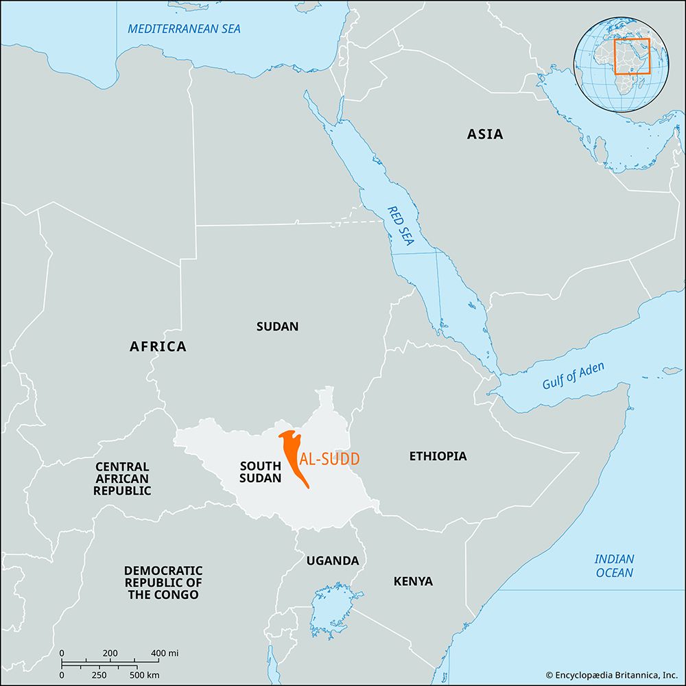
- Topography and Drainage: The country’s central region is a flat, saucerlike clay plain. This low-gradient terrain leads to impeded drainage, resulting in the formation of Al-Sudd, an enormous, swampy lowland. In this region, the Baḥr al-Jabal overflows into a network of lagoons, side channels, and swamps, where dense vegetation like papyrus and water hyacinth further slows the current.42
- Water Loss: The flat, expansive nature of the Sudd causes the Mountain Nile to lose more than half of its water volume through evaporation and seepage as it traverses the region.546
- Upland Influence: In contrast to the central plains, the southern border features massive mountain ranges, such as the Imatong Mountains, which provide the elevation necessary to initiate the river’s northward flow through rapids at Nimule.23
What are the main characteristics of the Nile River system?
The Nile River is the longest river in the world, flowing northward through northeastern Africa to empty into the Mediterranean Sea. Its basin covers approximately one-tenth of the continent and is defined by several key characteristics:9
Principal Streams
The river system is formed by three major tributaries:9
- White Nile: Originating in the East African lakes region, including Lake Victoria, it provides a steady, year-round supply of water.91011
- Blue Nile: Rising in the Ethiopian Plateau near Lake Tana, it is the primary source of the river’s floodwaters, contributing the majority of the volume that reaches Egypt.911
- Atbara River: Also rising in the Ethiopian highlands, this seasonal tributary contributes significantly to the river’s flow during the summer flood period.91011
Hydrology and Climate
The Nile’s regime is heavily influenced by tropical rainfall in its southern and eastern headwaters. The river experiences a pronounced flood season, historically peaking in late summer and autumn, caused by monsoon rains over the Ethiopian Plateau. In South Sudan, the river passes through Al-Sudd, a vast swampy region where significant water volume is lost to evaporation and seepage.11910
Physiography
The basin is divided into distinct regions, ranging from the lake plateaus and rift systems in the south to the desert landscapes of Sudan and Egypt. The river’s course is marked by a series of cataracts—rocky rapids that historically hindered navigation—and concludes in a fertile delta region before reaching the sea.10
Sources
- Fula Rapids — Encyclopædia Britannica
- Baḥr al-Jabal — Encyclopædia Britannica
- Al-Sudd — Encyclopædia Britannica
- South Sudan - Drainage and soils — Encyclopædia Britannica
- Nile River - Climate and hydrology — Encyclopædia Britannica
- Sudan - Drainage and soils — Encyclopædia Britannica
- South Sudan - Transportation and telecommunications — Encyclopædia Britannica
- South Sudan - Relief — Encyclopædia Britannica
- Nile River — Encyclopædia Britannica
- Nile River - Physiography of Nile River — Encyclopædia Britannica
- Nile River: Top Questions — Encyclopædia Britannica
Published on · 3 min read