Lake Winnipesaukee
Lake Winnipesaukee is the largest lake in New Hampshire, located in the east-central part of the state at the foothills of the White Mountains. Of glacial…
What is Lake Winnipesaukee?
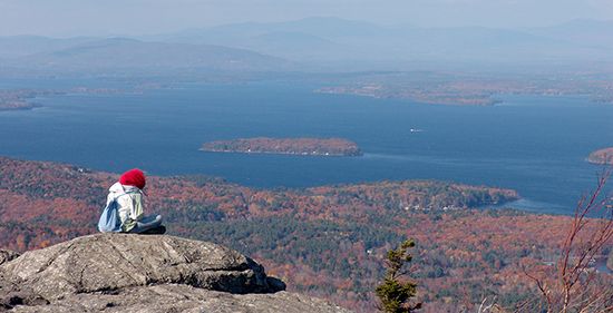
Lake Winnipesaukee is the largest lake in New Hampshire, located in the east-central part of the state at the foothills of the White Mountains. Of glacial origin, the lake spans approximately 71 square miles (185 square kilometers) and is characterized by its irregular shape, measuring 20 miles (32 km) long and up to 12 miles (19 km) wide.12
The lake is dotted with roughly 275 islands, the largest being Long Island, and features numerous coves and bays along its wooded shorelines. It serves as a popular summer recreation destination, offering activities such as boat cruises. The lake’s outlet, the Winnipesaukee River, flows southwest to join the Merrimack River. While the origin of its name is debated, it is frequently translated as “good outlet”.1
How do glaciers shape lakes like Winnipesaukee?
Glaciers shape landscapes and create lakes like Lake Winnipesaukee primarily through mechanical erosion and the deposition of materials during their advance and retreat.1
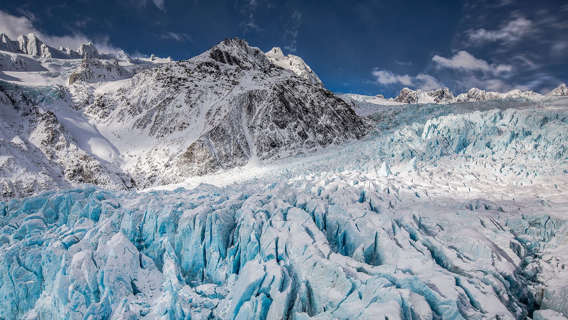
During the most recent glacial age, massive ice sheets—such as the Wisconsin ice sheet—acted like giant bulldozers, scouring the Earth’s surface and deepening existing valleys. As these glaciers retreated, they left behind basins that filled with water to form lakes.13
Glaciers also shape these environments through:
- Damming: Glacial moraine (sedimentary deposits left at glacier margins) or glacial outwash can create natural dams that confine postglacial waters.1
- Scouring: Moving ice sheets can scour level surfaces to create shallow, irregular rock basins, which often result in lakes characterized by numerous islands and sprawling bays, much like the geography of Lake Winnipesaukee.41
- Depositional Features: The movement of ice leaves behind various deposits, including till, deltas, and hillocks, which further define the surrounding terrain.3
What are the White Mountains known for?
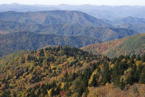
The White Mountains are a prominent segment of the Appalachian Mountains known for containing the highest elevations in the northeastern United States. They are particularly recognized for the following features:
- Presidential Range: This linear series of summits, named for U.S. presidents, includes Mount Washington, the highest point in the region at 6,288 feet (1,917 meters), which is accessible via a highway and a cog railway.5
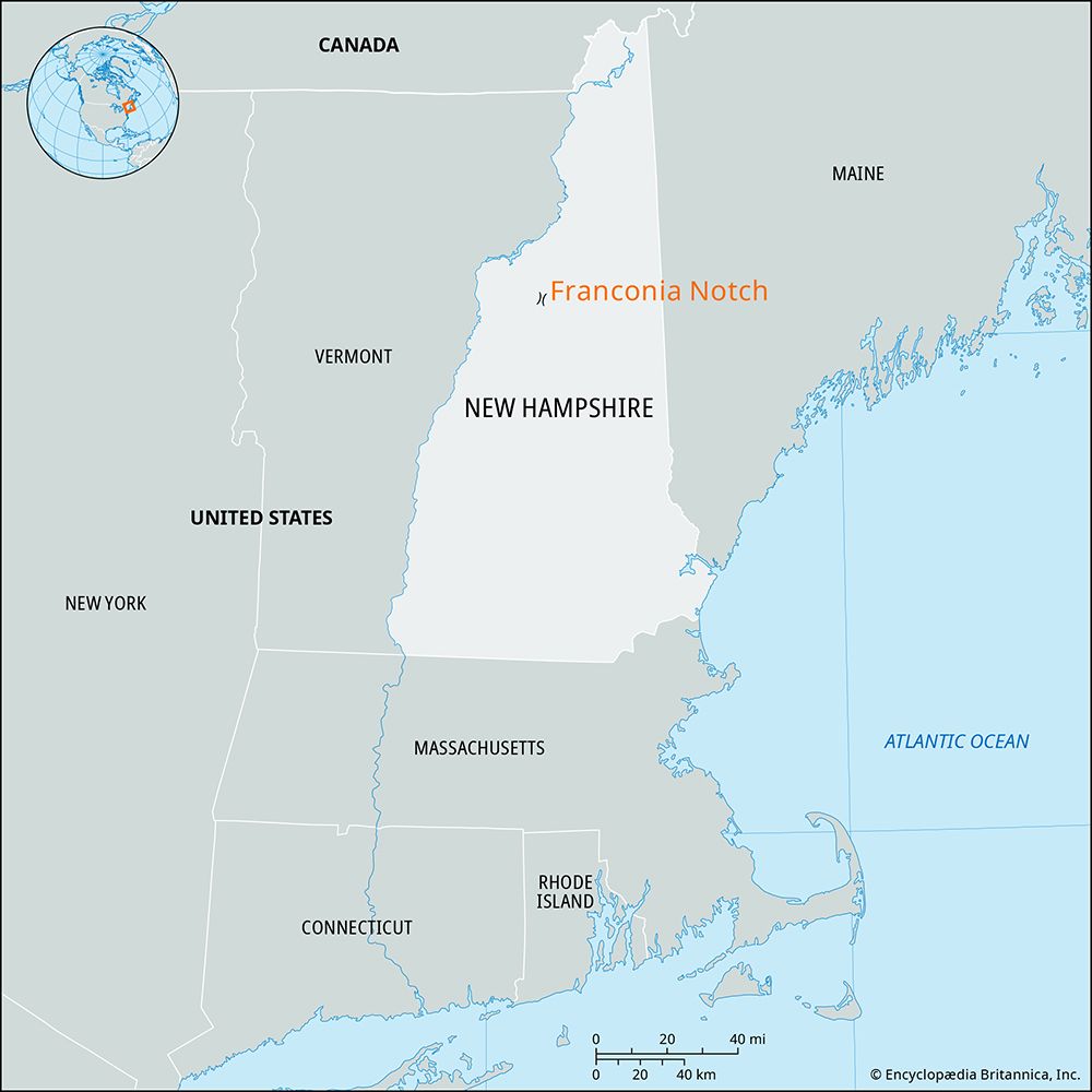
- Glacial Notches: The mountains are famous for their scenic, rounded passes known as “notches,” such as Franconia, Crawford, and Pinkham notches, which were carved by ancient mountain glaciers.5
- Outdoor Recreation: Much of the region is protected within the White Mountain National Forest. It is a premier destination for outdoor enthusiasts, offering over 1,000 miles of nature trails, numerous campsites, and extensive facilities for skiing and other winter sports.56
- Appalachian Trail: The Appalachian National Scenic Trail traverses a significant portion of the mountain range, drawing hikers from across the country.6
What is the significance of the Merrimack River?
The Merrimack River is a 110-mile (177 km) waterway in the northeastern United States that has played a pivotal role in the industrial development of New England. Rising in the White Mountains of New Hampshire, the river flows through major cities including Concord, Manchester, Nashua, Lowell, Lawrence, and Haverhill before reaching the Atlantic Ocean.8
Its primary historical significance lies in its capacity to provide waterpower. From approximately 1850 to the 1930s, the river’s energy fueled a massive portion of the textile and hosiery industries in the region. Notably, Lowell, Massachusetts, became the country’s first planned industrial town by harnessing the river’s power at Pawtucket Falls. This industrial growth transformed the region, attracting waves of immigrant labor and drawing international attention for its manufacturing scale.89
Today, while the river remains a source of waterpower, its valley serves as a vital artery for tourism, connecting travelers to the vacation centers of the White Mountains.8
Sources
- Lake Winnipesaukee — Encyclopædia Britannica
- Winnipesaukee, Lake — Merriam-Webster
- lake - Basins formed by glaciation — Encyclopædia Britannica
- New Hampshire - Relief — Encyclopædia Britannica
- White Mountains — Encyclopædia Britannica
- New Hampshire - Cultural life — Encyclopædia Britannica
- White Mountains — Merriam-Webster
- Merrimack River — Encyclopædia Britannica
- Lowell — Encyclopædia Britannica
- Merrimack — Merriam-Webster
- Merrimack — Encyclopædia Britannica
Published on · 3 min read