Lough Erne
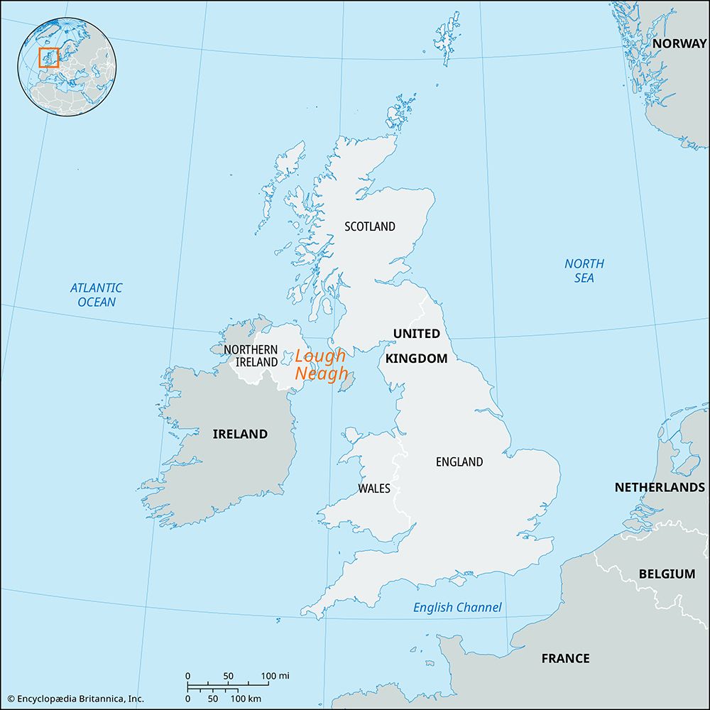
Lough Erne is a large lake system situated in the Fermanagh district of Northern Ireland. Spanning 40 miles (64 km) in length, the lake is divided into two…
What is Lough Erne and where is it located in Northern Ireland?
Lough Erne is a large lake system situated in the Fermanagh district of Northern Ireland. Spanning 40 miles (64 km) in length, the lake is divided into two main sections: the shallow Upper Lough Erne and the larger Lower Lough Erne, which are connected by a 10-mile strait formed by the River Erne.1
The lake is set within a carboniferous limestone plateau, though its basins are covered in heavy boulder clays. Numerous islands are scattered throughout the water, offering various recreational opportunities. Historically, the upper lake was prone to summer flooding, but a major project completed in 1959 helped regulate water levels to support hydroelectric power generation and reclaim surrounding land.1
How was Lough Erne formed, and what are its main geographical features?
Lough Erne was formed primarily through the solution of carboniferous limestone, which created the basins that now hold the lake system. While the underlying geology is limestone, these basins are blanketed with heavy boulder clays, and the surrounding landscape is characterized by drumlins—smooth, elongated mounds deposited by melting ice during the final Pleistocene glaciation.12
The lake’s main geographical features include:
- Structure: It consists of two distinct bodies of water: the shallow Upper Lough Erne (12 miles long) and the larger Lower Lough Erne (18 miles long), which are linked by a 10-mile strait formed by the River Erne.13
- Dimensions: The entire system spans 40 miles in length, with an average width of 5 miles and a maximum depth of 200 feet.1
- Topography: The lakes sit within an almost level plateau in the Fermanagh district, surrounded by hills exceeding 1,000 feet in height.12
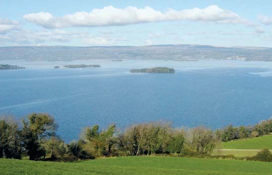
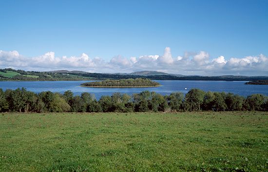
- Islands: Numerous islands are scattered throughout the lakes, which serve as recreational areas.1
Are there any unique geological features or islands within Lough Erne?
Lough Erne features a unique landscape shaped by both its underlying geology and the effects of the final Pleistocene glaciation.
Geological Features
The lake system is situated within an almost level plateau composed of carboniferous limestone. While the basins were formed through the solution of this limestone, they are blanketed by heavy boulder clays. The surrounding region is notably characterized by drumlins—smooth, elongated mounds deposited by melting ice—which create a distinct, hilly topography throughout the area. Additionally, the broader Fermanagh region is well known for its extensive network of limestone caves.415
Islands
Numerous islands are scattered throughout both the Upper and Lower sections of the lake, serving as important sites for recreation and historical interest. Among the most significant is Devenish Island, located in Lower Lough Erne. This island is the site of an ancient monastery and features a well-preserved 81-foot (25-metre) round tower and a historic standing cross. These islands are also noted for containing various early Celtic Christian antiquities.45
What is the significance of the River Erne to the region?
The River Erne is a vital geographical and economic artery for the region, flowing 64 miles from County Longford through the Fermanagh district before reaching Donegal Bay. Its significance is defined by several key roles:24
- Regional Geography: The river serves as the central feature of the Erne basin, which divides Fermanagh into two nearly equal sections. It expands to form the Upper and Lower Lough Erne, which are linked by a 10-mile strait of the river itself.41
- Energy and Infrastructure: In the mid-1950s, the governments of Ireland and Northern Ireland collaborated to develop the river’s hydroelectric power capacity. A major power station located below Belleek generates electricity for the Republic of Ireland.41
- Flood Control: A significant flood-relief project completed in 1959 was designed to manage water levels for hydroelectric stations at Ballyshannon and Cliff. This initiative successfully reclaimed approximately 29,000 acres of land around the upper lake, protecting it from summer flooding and waterlogging.1
Sources
- Lough Erne — Encyclopædia Britannica
- River Erne — Encyclopædia Britannica
- Northern Ireland - Relief — Encyclopædia Britannica
- Fermanagh — Encyclopædia Britannica
- Northern Ireland - Drainage — Encyclopædia Britannica
Published on · 3 min read