Lough Neagh
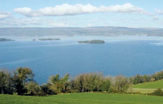
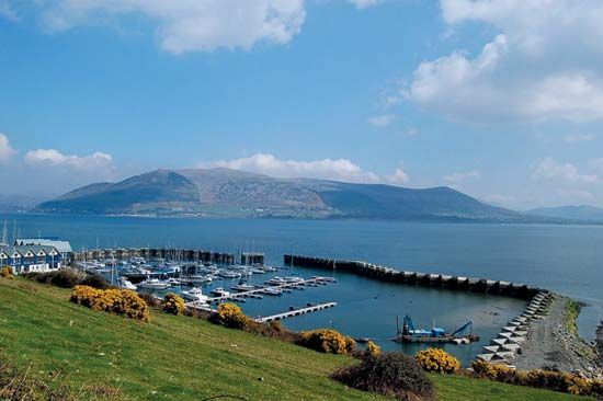
Lough Neagh is a large lake situated in east-central Northern Ireland, located approximately 20 miles (32 km) west of Belfast.
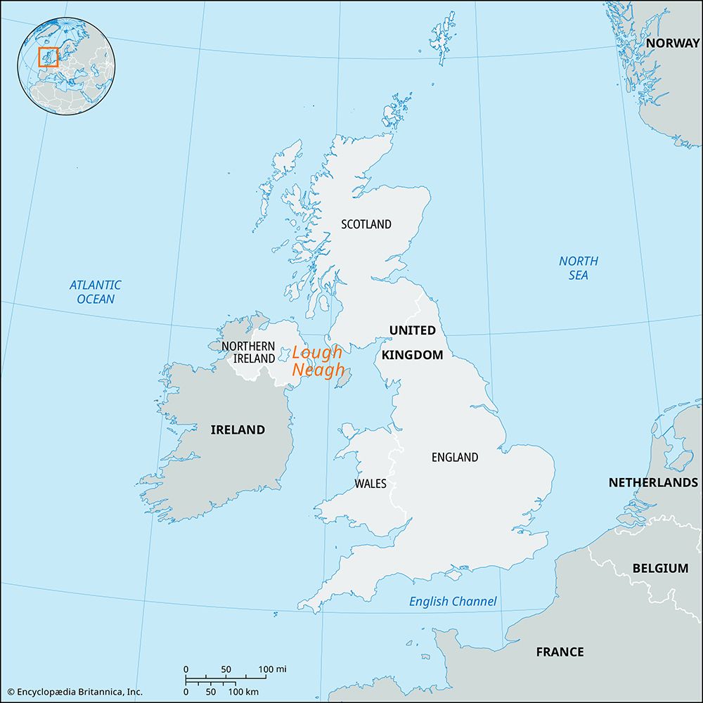
What is the geographic location and size of Lough Neagh?
Lough Neagh is a large lake situated in east-central Northern Ireland, located approximately 20 miles (32 km) west of Belfast.1
It holds the distinction of being the largest lake in the British Isles. Its physical dimensions are as follows:12
- Surface Area: 153 square miles (396–398 square km)12
- Length: 18 miles (29 km)1
- Width: Averages 15 miles (24 km)1
- Depth: Generally shallow, with an average depth of about 40 feet (12 meters)1
- Catchment Area: 2,200 square miles (5,700 square km)1
The lake is primarily fed by the Upper River Bann, the River Blackwater, and the River Main, and it is drained to the north by the Lower Bann.1
How does Lough Neagh contribute to the local economy and industry in Northern Ireland?
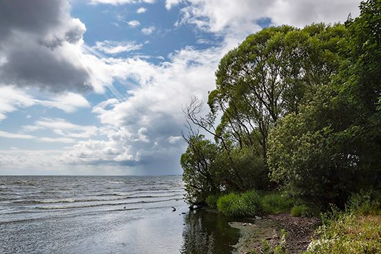
Lough Neagh plays a significant role in the local economy of Northern Ireland, primarily through its traditional fishing industry and the surrounding agricultural landscape.
- Fishing: The lake is a traditional site for inland fishing. Notably, eel fishing is a long-standing practice, with operations concentrated in the area where the River Bann flows out of the lake.1
- Agriculture: The region surrounding the lake is highly productive. The area to the south of Lough Neagh is known as rich orchard country, where apple growing and market gardening are prominent features of the local landscape.1
While the lake is a vital natural feature, it is important to note that agriculture as a whole has become a relatively small source of employment in Northern Ireland, with less than 5 percent of the population earning their living from the land at the start of the 21st century.1
How does Lough Neagh serve as a freshwater source for Northern Ireland?
Lough Neagh serves as a critical freshwater reservoir for Northern Ireland, functioning as the central hub of a vast drainage basin that spans 2,200 square miles (5,700 square km).1
The lake acts as a massive collection point for several major waterways, including the Upper River Bann, the River Blackwater, and the River Main. These rivers channel water into the lake, which is then regulated and drained northward by the Lower Bann. This system is essential for regional water management; notably, in 1959, significant flood-control works were implemented to manage the lake’s levels, which directly impacts the surrounding environment and water availability.17
While the River Bann is historically recognized for providing the waterpower necessary for the industrialization of the Ulster linen industry, the lake itself remains the primary hydrological feature of the region.7
We could dive deeper into the environmental management of the lake or explore how its water levels are maintained for modern use.
Which rivers feed into Lough Neagh?
The primary rivers that feed into Lough Neagh include:
- Upper River Bann: Rising in the Mourne Mountains, this river flows northwest into the lake.17
- River Blackwater: This river enters the lake from the southwest.16
- River Main: This river also serves as a chief feeder for the lake.1
While these rivers supply the water, the lake is drained northward by the Lower Bann, which eventually carries the water to the sea.17
Sources
- Lough Neagh — Encyclopædia Britannica
- Neagh, Lough — Merriam-Webster
- Northern Ireland - Agriculture, forestry, and fishing — Encyclopædia Britannica
- Northern Ireland - Settlement patterns — Encyclopædia Britannica
- River Blackwater — Encyclopædia Britannica
- Northern Ireland - Drainage — Encyclopædia Britannica
- River Bann — Encyclopædia Britannica
Published on · 2 min read