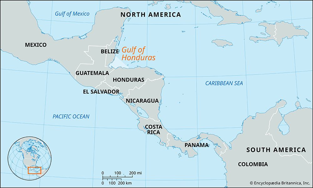
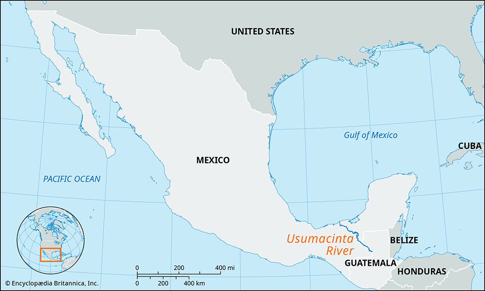
Motagua River
The Motagua River is a vital component of Guatemala’s economy and agricultural infrastructure. As the country’s longest river, its lower valley features…
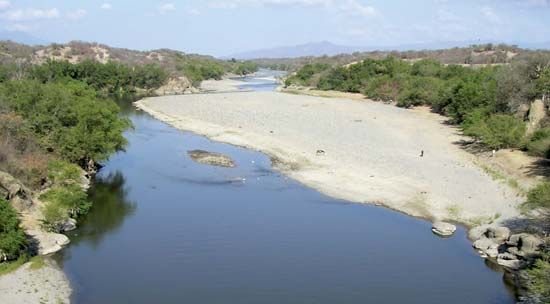
How does the Motagua River contribute to Guatemala’s economy and agriculture?
The Motagua River is a vital component of Guatemala’s economy and agricultural infrastructure. As the country’s longest river, its lower valley features excellent soils that support large-scale commercial plantation agriculture, specifically the production of bananas, coffee, and other fruits destined for foreign markets.12
The river serves as a critical transportation artery, navigable by shallow-draft boats for approximately 125 miles from its mouth. This connectivity is bolstered by the Atlantic Highway and the Puerto Barrios–Guatemala City railroad, both of which follow the river valley to facilitate the movement of goods. Historically, the region has been significant for large-scale agricultural operations, most notably those initiated by the United Fruit Company in the early 20th century. Additionally, the river’s course supports some placer gold mining, further contributing to the local economy.1
Where is the Motagua River located in Guatemala, and what are its main geographical features?
The Motagua River is located in eastern Guatemala, where it serves as the country’s longest river at approximately 250 miles (400 km) in length.13
Geographical Features
- Course: The river rises in the central highlands near Chichicastenango and flows generally eastward and northeastward before emptying into Omoa Bay off the Gulf of Honduras at the border with Honduras.1
- Local Names: Near its source, it is known as the Silbapec River, while further downstream it is referred to as the Río Grande.1
- Topography: The river passes through a structural trough that acts as a boundary between the volcanic terrain of southern Guatemala and the sierras of the country’s midsection. The Chuacús, Minas, and San Isidro mountain ranges rise from its left bank, while major tributaries, such as the Chiquimula, flow into it from the south.31
- Drainage: It is the longest of several rivers that drain eastward toward the Caribbean Sea.3
What are some of the major tributaries of the Motagua River?
The Motagua River receives water from several tributaries that flow into it from the south as it traverses eastern Guatemala. Among these, the Chiquimula is identified as a major tributary.1
While the Motagua is the longest river in the country and serves as a primary drainage system for the region, the provided information does not list an exhaustive catalog of its smaller tributary streams.13
What is the length of the Motagua River, and through which departments of Guatemala does it flow?
The Motagua River is approximately 250 miles (400 km) long, making it the longest river in Guatemala.13
Regarding the specific departments through which the river flows, the provided search results do not contain a comprehensive list of the administrative departments along its course. However, the river is noted to rise in the central highlands near Chichicastenango and follows a valley that includes the department of El Progreso, where it is followed by the Atlantic Highway and a railroad line.1
Sources
- Motagua River — Encyclopædia Britannica
- Guatemala - Agriculture, forestry, and fishing — Encyclopædia Britannica
- Guatemala - Drainage — Encyclopædia Britannica
- Gulf of Honduras — Encyclopædia Britannica
Published on · 2 min read