Usumacinta River
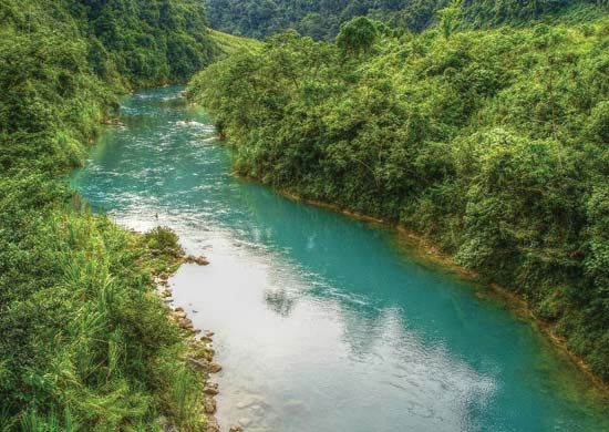
The Usumacinta River has a total length of approximately 600 miles (1,000 km) when measured along its main channel, which includes the Chixoy River.
How long is the Usumacinta River, and what are its major tributaries?
The Usumacinta River has a total length of approximately 600 miles (1,000 km) when measured along its main channel, which includes the Chixoy River.1
The river is formed by the junction of two primary waterways:
- Pasi\u00f3n River: Originates in the Sierra de Santa Cruz in Guatemala.1
- Chixoy River: Descends from the Sierra Madre de Guatemala.1
As it flows northwestward, the Usumacinta also receives the Lacant\u00fan River. Upon reaching the lowlands, the river splits into several arms, including the main channel that joins the Grijalva River, the San Pedro y San Pablo, and the Palizada.1
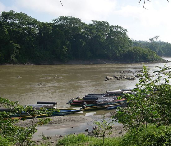
What role does the Usumacinta River play in hydroelectric power generation?
The provided information does not indicate that the Usumacinta River is currently utilized for hydroelectric power generation. Historically and economically, the river has served primarily as a vital means of communication for local towns and as a transport route for exporting products such as logs and chicle.1
Where is the Usumacinta River located, and what countries does it border?
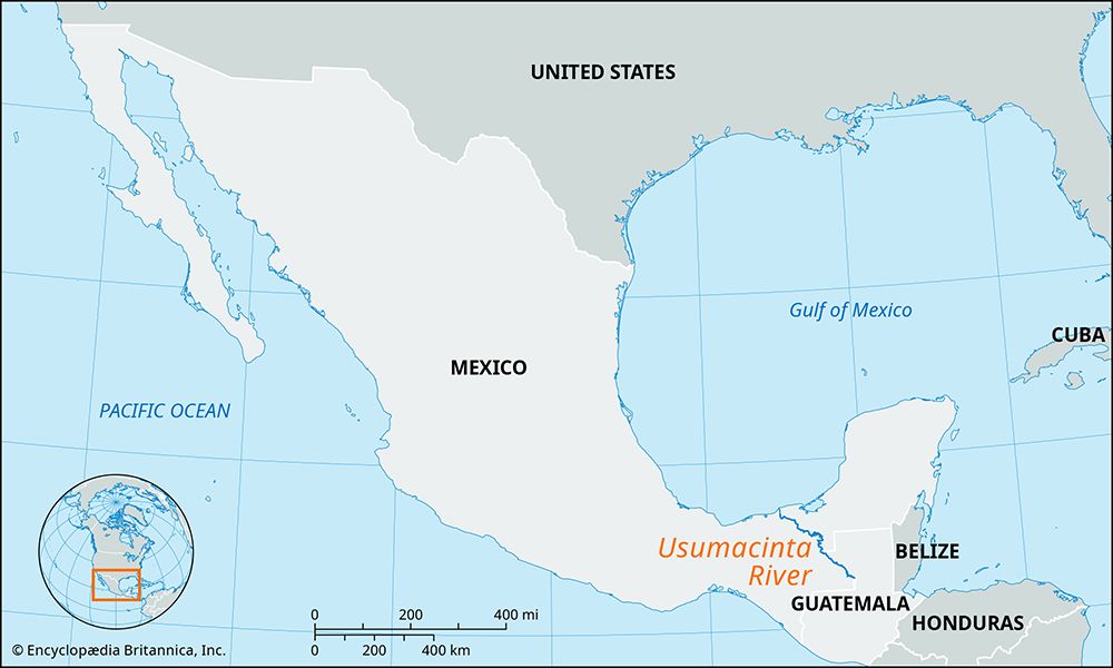
The Usumacinta River is located in southeastern Mexico and northwestern Guatemala.1
The river serves as a natural international boundary, forming the border between Mexico and Guatemala along the state of Chiapas. As it continues its course, it flows through Mexican territory, where it defines the border between the states of Chiapas and Tabasco before emptying into the Bay of Campeche.1
What is the geological origin of the Usumacinta River?
The Usumacinta River does not have a single geological origin point; rather, it is formed by the confluence of two major waterways in Guatemala:
- The Pasión River: This river originates in the Sierra de Santa Cruz in Guatemala.1
- The Chixoy River: Also known as the Negro River, it rises in the southern part of the Altos Cuchumatanes mountains in central Guatemala.12
These two rivers converge approximately 25 miles (40 km) west of Sayaxché to form the Usumacinta. From this junction, the river flows northwestward, eventually defining the border between Mexico and Guatemala before meandering through the swampy lowlands of the Yucatán Peninsula base and emptying into the Bay of Campeche.213
Sources
- Usumacinta River — Encyclopædia Britannica
- Chixoy River — Encyclopædia Britannica
- Chiapas Highlands — Encyclopædia Britannica
- Petén — Encyclopædia Britannica
Published on · 2 min read