Gulf of Honduras
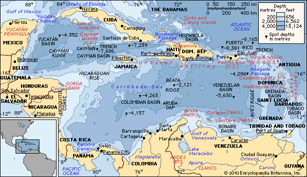
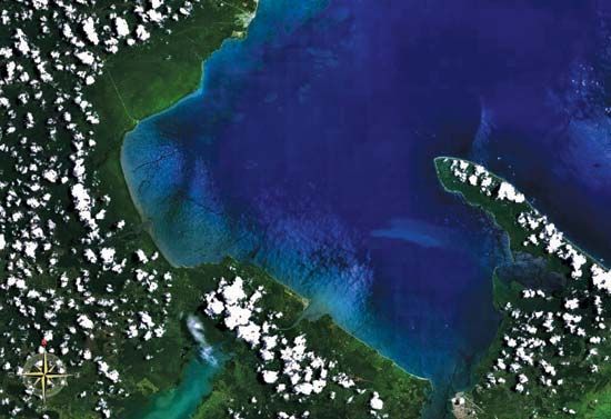
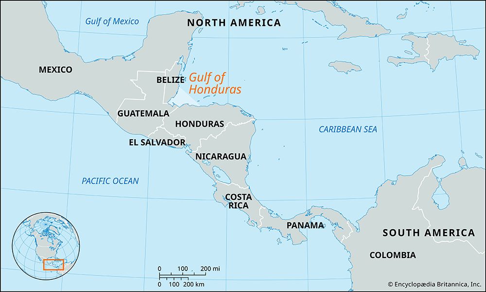
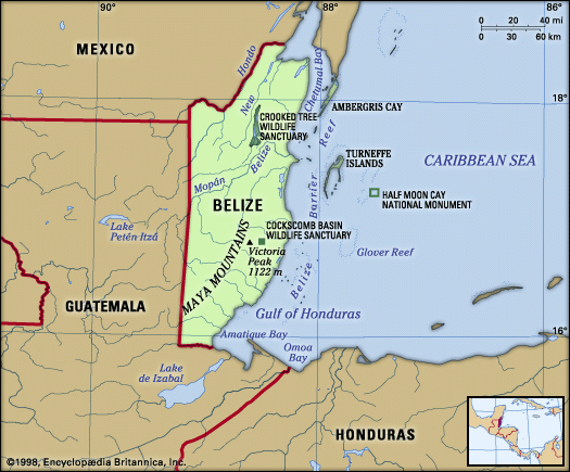
The Gulf of Honduras is a wide inlet of the Caribbean Sea that indents the coastlines of Belize, Guatemala, and Hondurasatemala), and Honduras.
What is Gulf of Honduras?
The Gulf of Honduras is a wide inlet of the Caribbean Sea that indents the coastlines of Belize, Guatemala, and Hondurasatemala), and Honduras.1
Spanning approximately 115 miles (185 km) in a straight line, the gulf stretches from Dangriga, Belize, in the northwest to La Ceiba, Honduras, in the southeast. It serves as a significant hydrological basin, receiving water from numerous rivers such as the Ulúa and the Motagua.1
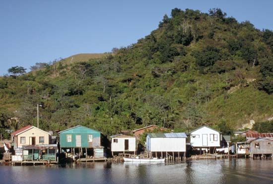
The region is characterized by diverse coastal features, including the Bay Islands of Honduras to the east and the Pelican Cays of Belize to the north. Within its coastal recess, Amatique Bay provides essential maritime access for Guatemala, housing the major ports of Puerto Barrios and Santo Tomás de Castilla. While Dangriga is a common reference point for the gulf’s extent, some definitions consider Belize City to be its northern limit.1
What are the major coral reefs found in the Gulf of Honduras?
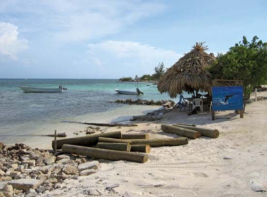
The Gulf of Honduras contains notable reef systems, specifically the Pelican Cays of Belize located to the north and the reefs associated with the Bay Islands of Honduras to the east.1
While these areas are recognized for their marine biodiversity, it is important to note that coastal ecosystems in this region face significant environmental pressures. Habitat loss, agricultural runoff, and urban development have negatively impacted these delicate marine environments in recent decades. Protecting these reefs is essential for maintaining the ecological health of the Caribbean coastal waters.3
How do the rivers flowing into the gulf affect its marine environment?
The Gulf of Honduras receives significant water input from rivers such as the Ulúa and the Motagua. These rivers act as conduits for land-based pollutants, which profoundly impact the gulf’s marine environment through a process known as cultural eutrophication.14
As rivers flow toward the coast, they collect agricultural runoff—laden with fertilizers and pesticides—as well as industrial and municipal sewage.4 When this nutrient-rich water enters the gulf, it triggers excessive growth of phytoplankton and algae. This rapid biological productivity creates several critical issues:45
- Oxygen Depletion: As these massive blooms of organic matter die and decompose, they consume the water’s dissolved oxygen, leading to hypoxia or “dead zones” where marine life cannot survive.546
- Habitat Degradation: The resulting murky water prevents light penetration, which is essential for the health of coral reefs and other underwater ecosystems.54
- Ecological Shifts: Nutrient enrichment can favor invasive species and harmful algal blooms, which disrupt local food chains and threaten native biodiversity.546
What is the importance of the Bay Islands to the region’s economy?
The Bay Islands play a vital role in the Honduran economy, primarily as a central hub for the nation’s growing tourism sector. As Honduras seeks to diversify an economy historically dependent on agricultural exports and remittances, the islands have become essential for generating foreign exchange earnings.7
The importance of the Bay Islands to the national economy is highlighted by several key factors:
- Cruise Tourism: The islands, particularly Roatán, serve as a primary gateway for cruise ship passengers. In 2024, the majority of the nearly 2.8 million international visitors to Honduras arrived via cruise ships, with a significant portion passing through the Bay Islands.7
- Marine Tourism: Beyond cruise arrivals, the islands are a premier destination for coastal and marine tourism, with a specific emphasis on underwater diving. This niche market has been a cornerstone of the islands’ economic development since the late 1990s.78
- Economic Diversification: Tourism now accounts for approximately 10 percent of the country’s gross domestic product, helping to stabilize an economy that remains vulnerable to external shocks and environmental challenges.7
While traditional activities such as fishing and the cultivation of bananas, coconuts, and cassava continue, tourism has emerged as the primary driver of modern economic activity in the region.78
Sources
- Gulf of Honduras — Encyclopædia Britannica
- Honduras - Relief — Encyclopædia Britannica
- Honduras - Plant and animal life — Encyclopædia Britannica
- conservation - Pollution — Encyclopædia Britannica
- eutrophication — Encyclopædia Britannica
- hydrosphere - Eutrophication — Encyclopædia Britannica
- Honduras - The economy — Encyclopædia Britannica
- Bay Islands — Encyclopædia Britannica
- Guadeloupe - Economy — Encyclopædia Britannica
- The Bahamas - Services and finance — Encyclopædia Britannica
- Barbados - Agriculture and fishing — Encyclopædia Britannica
- Maldives - Agriculture, forestry, and fishing — Encyclopædia Britannica
Published on · 3 min read