Mourne Mountains
The Mourne Mountains serve as a vital natural resource for Northern Ireland by functioning as a catchment area for reservoirs that provide water to several…
What role do the Mourne Mountains play in Northern Ireland’s water supply?
The Mourne Mountains serve as a vital natural resource for Northern Ireland by functioning as a catchment area for reservoirs that provide water to several major urban centers. Specifically, these reservoirs supply water to Belfast, Portadown, and Banbridge), and Banbridge.1
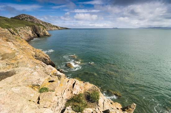
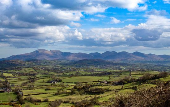
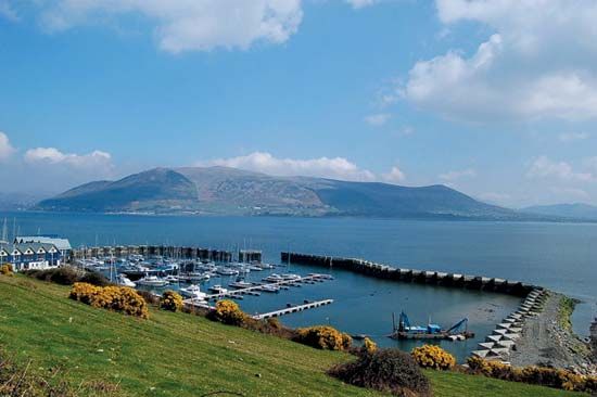
The range, characterized by its granite peaks, rises abruptly from the Irish Sea and includes notable summits such as Slieve Donard. Beyond their critical role in water infrastructure, the mountains are utilized for sheep farming, and their lower slopes have been extensively reforested, contributing to both the local economy and regional conservation efforts.1
How were the Mourne Mountains formed geologically?
The Mourne Mountains were formed through a geological process involving the intrusion of granite into existing rock layers. Specifically, the range’s distinct oval shape is the result of five overlapping granite intrusions that pushed into older Silurian shales.1
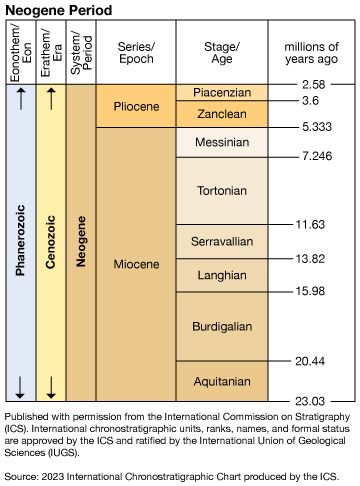
This geological activity occurred during the Neogene Period, which spanned from approximately 23 million to 2.6 million years ago. These intrusions created the compact, rugged landscape that rises abruptly from the Irish Sea today, featuring numerous peaks that exceed 2,000 feet in elevation, including Slieve Donard.1
What are the most prominent peaks in the Mourne Mountains range?
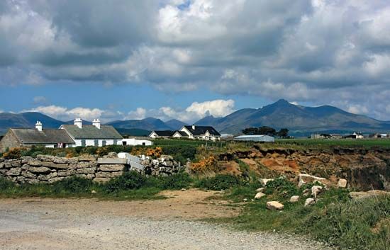
The Mourne Mountains are a compact range defined by their granite peaks, with a dozen summits exceeding 2,000 feet in elevation.3
The most prominent peaks include:
- Slieve Donard: The highest peak in the range, reaching an elevation of 2,789 feet (850 metres). It is located near the coast at the northeastern end of the mountains.13
- Slieve Bearnagh: One of the notable peaks that rises above the 2,000-foot threshold.3
- Slieve Binnian: Another significant peak within the range that also exceeds 2,000 feet.3
These mountains, which extend for 9 miles between Newcastle and Rostrevor, were shaped by five overlapping granite intrusions during the Neogene Period.3
Where are the Mourne Mountains located and what is their geographical significance?
The Mourne Mountains are a compact range of granite peaks located in Northern Ireland, spanning the border of the Down and Newry and Mourne districts.3
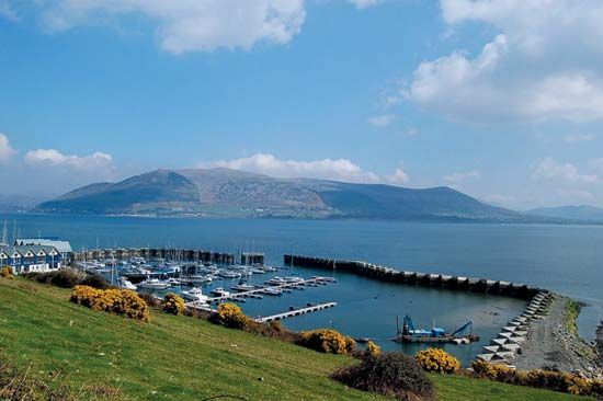
Geographically, the range is significant for its dramatic rise from the Irish Sea at Carlingford Lough, extending 9 miles between the towns of Newcastle and Rostrevor. The mountains serve as a vital natural resource, acting as a reservoir system that supplies water to Belfast, Portadown, and Banbridge.3
The landscape is defined by its geological history, featuring five overlapping granite intrusions that created a distinct oval outline. The area also holds cultural and historical importance, with the Slieve Donard summit—the highest peak in the range—containing the remains of a 5th-century oratory. Additionally, the region supports sheep farming and has seen extensive reforestation on its lower slopes.31
Sources
- Mourne Mountains — Encyclopædia Britannica
- Newry and Mourne — Encyclopædia Britannica
- Slieve Donard — Encyclopædia Britannica
Published on · 2 min read