Nithsdale
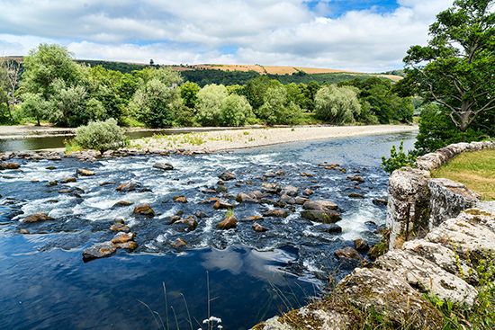
Nithsdale is the valley of the River Nith located in the Dumfries and Galloway region of southwestern Scotland.
What is Nithsdale?
Nithsdale is the valley of the River Nith located in the Dumfries and Galloway region of southwestern Scotland.1
Geographically, it encompasses the western portion of the historic county of Dumfriesshire and a small area of eastern Kirkcudbrightshire. The valley extends from the border with Ayrshire, where the river cuts through the Southern Uplands, and widens as it moves southeast toward the Solway Firth1.12
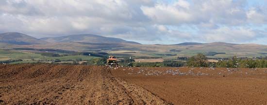
The region is primarily agricultural, characterized by sheep farming in the hills and livestock fattening in the lowlands. Dumfries, situated on the River Nith, serves as the area’s primary commercial and administrative hub. Historically, the people of Nithsdale were noted for maintaining their Celtic institutions well into the 12th century, even after the Anglo-Saxon influence in other parts of the region.12
What are the Southern Uplands of Scotland?
The Southern Uplands are an elevated moorland region in southern Scotland that form one of the country’s three primary topographic areas, alongside the Highlands and the Midland Valley.34
Compared to the Scottish Highlands, the Southern Uplands feature a more subdued relief, with elevations that do not exceed 2,800 feet (850 metres). The landscape is characterized by broad plateaus separated by numerous dales (valleys) and rolling mountains. Key geographical features include:34
- Hill Masses: The Cheviot Hills are the main hill masses, while peaks such as Merrick and Broad Law are among the few to exceed 2,700 feet.3
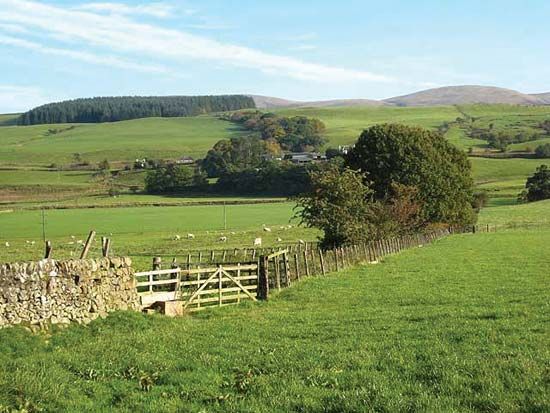
- Regional Variation: To the east of Nithsdale, the hills are rounded, grass-covered, and provide excellent sheep grazing. To the west, the landscape is rougher, featuring granitic intrusions and wetter, peaty soil.4
- Drainage: In the east, the River Tweed and its tributaries create a broad lowland expanse. In the west, rivers generally flow toward the Solway Firth or the Firth of Clyde.3
What is the significance of the Solway Firth?
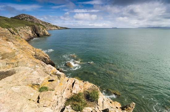
The Solway Firth is a significant inlet of the Irish Sea that serves as a traditional geographic and political boundary between northwestern England and southwestern Scotland.67
Extending inland for 38 miles (61 km), the firth holds historical importance as the site where Hadrian’s Wall—the defensive fortification built by the Roman Empire—terminates on its southern shore.6
Who were the Selgovae people?
Sorry, the Britannica knowledge base does not contain information regarding the Selgovae people.
Sources
- Nithsdale — Encyclopædia Britannica
- Dumfriesshire — Encyclopædia Britannica
- Southern Uplands — Merriam-Webster
- United Kingdom - The highland zone — Encyclopædia Britannica
- Scotland - Relief of Scotland — Encyclopædia Britannica
- Solway Firth — Encyclopædia Britannica
- Solway Firth — Merriam-Webster
- Selkirkshire — Encyclopædia Britannica
Published on · 2 min read