Pecos River
The Pecos River is managed by several dams and reservoirs that are essential for controlling water flow and supporting regional agriculture through…
What are some of the significant dams and reservoirs along the Pecos River, and what purposes do they serve?
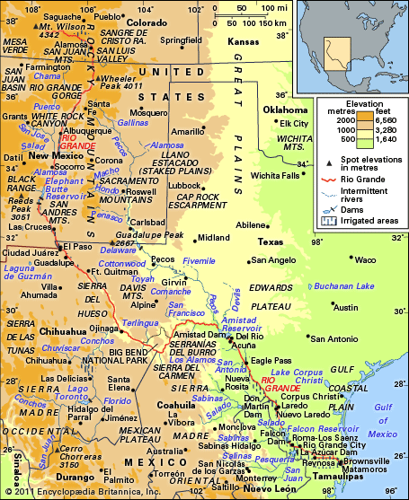
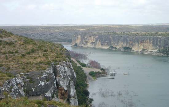
The Pecos River is managed by several dams and reservoirs that are essential for controlling water flow and supporting regional agriculture through irrigation.1
Key infrastructure along the river includes:
- Alamogordo Dam (1937): A significant structure used for water regulation.1
- Avalon Dam (1907) and McMillan Dam (1908): These dams are integral components of the Carlsbad Reclamation Project, which provides vital water resources for the area.1
- Red Bluff Dam (1936): Another major facility that helps manage the river’s water supply.1
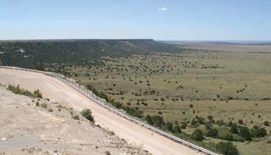
These projects are critical to the arid regions of New Mexico and Texas, where the river often experiences dry channels for much of the year. By capturing and storing water, these dams ensure a more reliable supply for irrigation in the surrounding desertlike landscapes.1
What are some of the major cities or towns located along the Pecos River?
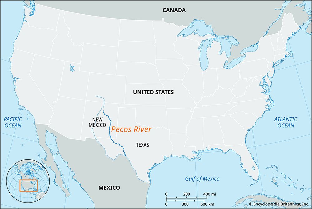
Several significant cities and towns are located along or near the Pecos River as it flows through New Mexico and Texas. These communities have historically served as important hubs for agriculture, transportation, and regional commerce.
The notable towns and cities include:
- Santa Rosa, New Mexico: Located in the upper reaches of the river’s course.1
- Fort Sumner, New Mexico: Situated along the river as it flows through the eastern part of the state.1
- Roswell, New Mexico: Positioned near a basin where the river widens.1
- Carlsbad, New Mexico: A key city associated with the Carlsbad Reclamation Project.1
- Pecos, Texas: The seat of Reeves County, this city developed as a livestock distribution center and is known for its agricultural and energy industries.12
How has the Pecos River influenced the development of settlements and agriculture in the region?
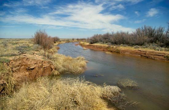
The Pecos River has been a vital artery for human settlement and agricultural development in the southwestern United States for centuries. Historically, the river marked the eastern boundary for the expansion of Puebloan farming cultures, which established early agricultural villages in the region by approximately 200 BCE.1
In the modern era, the river’s role shifted toward supporting large-scale irrigation in arid landscapes. Because the river channel is often dry for much of the year, the construction of dams—such as the Alamogordo, Avalon, McMillan, and Red Bluff dams—has been essential for water regulation and the success of projects like the Carlsbad Reclamation Project.2
These water management efforts facilitated the growth of towns like Pecos, Texas, which evolved from a 19th-century cattle town into a diversified agricultural and industrial hub. Today, the region relies on the river and groundwater for crops such as cotton, cantaloupes, and vegetables, alongside livestock ranching and energy production.3
What are the major tributaries of the Pecos River?
The provided search results do not contain specific information regarding the major tributaries of the Pecos River. While the documents identify the Pecos River itself as a major tributary of the Rio Grande, they do not list the smaller rivers or streams that flow into the Pecos.
Sorry, the Britannica knowledge base does not contain this information.
Sources
- Pecos River — Encyclopædia Britannica
- Pecos — Encyclopædia Britannica
- Stone Age - Pueblos — Encyclopædia Britannica
- New Mexico - Drainage — Encyclopædia Britannica
- Rio Grande - Physical features — Encyclopædia Britannica
Published on · 2 min read