Rio Grande
The Rio Grande serves as a vital resource for several major economic activities across the United States and Mexico. Its primary uses include:
What major economic activities rely on the Rio Grande today?
The Rio Grande serves as a vital resource for several major economic activities across the United States and Mexico. Its primary uses include:
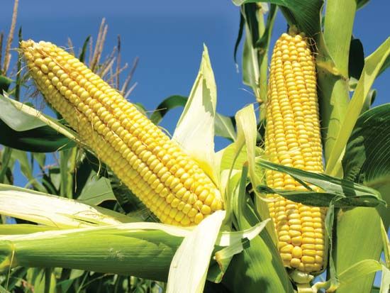
- Agriculture and Animal Husbandry: The river provides essential water for approximately 2,100,000 acres of cropland. Irrigated crops range from potatoes and alfalfa in the north to cotton, pecans, grapes, citrus fruits, and vegetables in the southern regions.1
- Energy Production: The basin supports significant hydroelectricity generation, facilitated by major reservoirs such as the Falcon Reservoir and the international Amistad Dam.1
- Mining: The region is rich in natural resources, with active extraction of petroleum, natural gas, coal, uranium ore, silver, lead, gold, potash, and gypsum.1
- Recreation and Tourism: The river supports a robust tourism industry, including national and state parks, dude ranches, rafting, fishing, hunting, and various summer and winter resorts.1
These activities are managed through complex water treaties and compacts to balance the needs of the diverse urban and rural communities along the river’s path.1
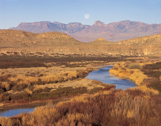
What Native American tribes historically lived along the Rio Grande?
The Pueblo peoples are the primary Indigenous groups historically associated with the Rio Grande Valley. By the time of European contact, these farming communities were concentrated along the river and its tributaries in what is now New Mexico.23
The Puebloans are descendants of the prehistoric Ancestral Pueblo culture. Historically, they lived in autonomous, compact villages and developed sophisticated irrigation systems to cultivate crops like corn and cotton in the river bottoms. Linguistically and culturally, the Rio Grande Puebloans are categorized as the eastern division of the Pueblo peoples, speaking Tanoan and Keresan languages.34
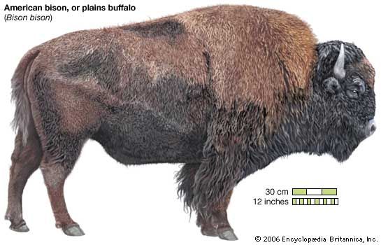
While the Puebloans were the primary inhabitants of the middle Rio Grande area encountered by early explorers like Francisco Vázquez de Coronado, the region also saw the presence of other groups who utilized the river’s resources, including hunting societies that traveled to the Plains for bison.31
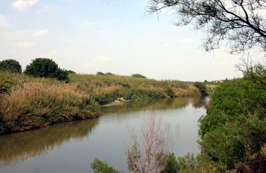
How do the United States and Mexico manage water rights and usage of the Rio Grande?
The management of water rights and usage of the Rio Grande between the United States and Mexico is governed by a series of international treaties and domestic compacts necessitated by population growth and increasing water demands.5
Key agreements include:
- International Treaties: Formal water treaties established between 1905–1907 and 1944–1945 define the allocation of water between the two nations. For instance, a specific treaty provision allots 60,000 acre-feet of water annually to Mexico from the upper Rio Grande subbasin.5
- Interstate Compacts: Within the United States, water usage is regulated by agreements such as the Rio Grande Compact (1939), which coordinates the shared use of the upper Rio Grande subbasin among Colorado, New Mexico, and Texas. Additionally, the Pecos River Compact (1948) manages water between New Mexico and Texas.5
- Infrastructure and Cooperation: The construction of major international projects, such as the Amistad Dam completed in 1969, was conducted under the terms of U.S.-Mexico treaties to facilitate water storage and hydroelectric power generation.5
These frameworks are essential for balancing the needs of agriculture, industry, and urban centers along the river’s course.5
How long is the Rio Grande, and what are its major tributaries?
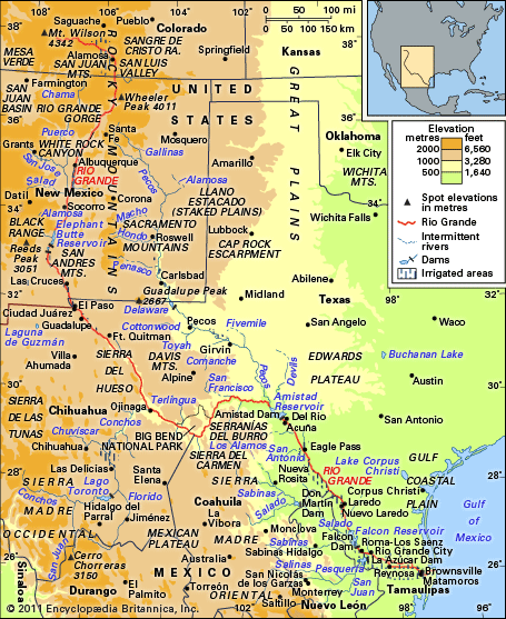
The Rio Grande is approximately 1,900 miles (3,060 km) long, making it the fifth longest river in North America and the 20th longest in the world.6
The river’s major tributaries include:
- United States: The Pecos, Devils, Chama, and Puerco rivers.7
- Mexico: The Conchos, Salado, and San Juan rivers.7
Rising in the Rocky Mountains of Colorado, the river flows through New Mexico and eventually forms the international border between Texas and Mexico before emptying into the Gulf of Mexico.76
Sources
- Rio Grande - The economy — Encyclopædia Britannica
- Stone Age - Pueblos — Encyclopædia Britannica
- Pueblo peoples — Encyclopædia Britannica
- Rio Grande - Study and exploration — Encyclopædia Britannica
- Colorado River - Economic development — Encyclopædia Britannica
- Rio Grande - Physical features — Encyclopædia Britannica
- Rio Grande — Encyclopædia Britannica
Published on · 3 min read