Pennines
The Pennines, often described as the "backbone" of northern England, have significantly shaped human settlement and economic life through their rugged…
How have the Pennines influenced human settlement and economic activities in the region?
The Pennines, often described as the “backbone” of northern England, have significantly shaped human settlement and economic life through their rugged geography and natural resources.
Historically, the region’s challenging terrain limited large-scale settlement, though prehistoric remains and Roman-era lead mining indicate early human activity. Permanent village life later flourished in the lower dales, influenced by Anglo-Saxon and Danish settlers. The landscape also facilitated monastic influence, as abbeys stimulated early wool production, which evolved into a cottage textile industry by the 14th century.12
Economically, the Pennines have transitioned through several phases:
- Agriculture: Sheep farming and dairy farming remain dominant, supported by the upland pastures.12
- Industry: Water-powered mills once drove textile production in the dales, later shifting to steam-operated units near transport hubs like the Liverpool-Leeds Canal. The region also supported small-scale coal, lead, and limestone extraction.21
- Modern Economy: Today, the region relies on quarrying and a robust tourism sector, bolstered by national parks like the Peak District and Yorkshire Dales.12
What are some of the most notable peaks and valleys in the Pennine range?
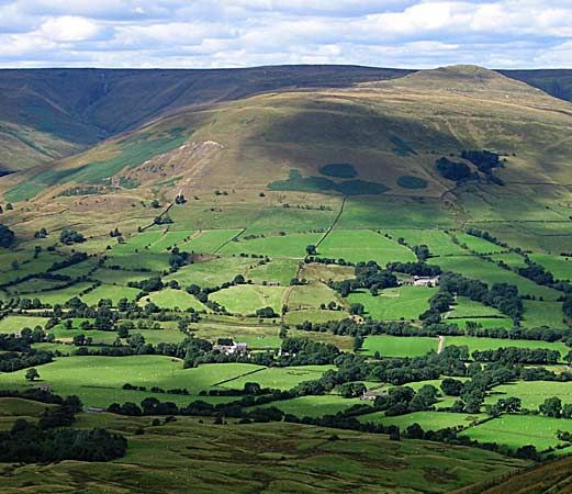
The Pennines are not a single mountain chain but a series of hills broken into sections by numerous valleys, often referred to as dales. The range is divided into northern and southern sections by a gap formed by the Rivers Aire and Ribble.1
Notable Peaks
The northern section is generally higher and broader, featuring several prominent summits:
- Cross Fell: The highest point in the range at 2,930 feet (893 metres).1
- Whernside: Reaching 2,419 feet (737 metres).1
- Ingleborough: Standing at 2,373 feet (723 metres).1
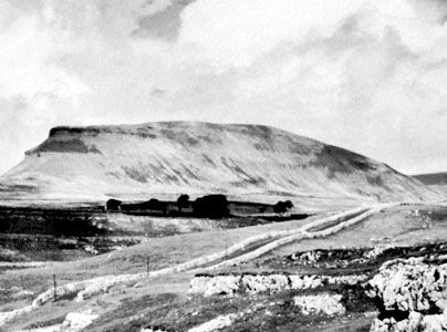
- Pen-y-Ghent: Rising to 2,273 feet (693 metres).1
In the southern section, heights exceeding 2,000 feet are rare, with Kinder Scout (2,088 feet [636 metres]) being the most notable peak in the Peak District.13
Notable Valleys and Features
The landscape is defined by its dales and unique geological formations, particularly in limestone areas:
- Dales: The Peak District is particularly known for the scenic dales carved by the Rivers Wye and Dove.3
- Underground Features: Remarkable caverns and watercourses include Gaping Gill, Rowten Pot, and Ingleborough Cave.1
- Malham Cove: A site where the stream draining Malham Tarn disappears underground and reappears at the base of cliffs.1
What types of flora and fauna are characteristic of the Pennine ecosystem?
The Pennines ecosystem is defined by its upland environment, where vegetation is largely dictated by soil moisture and drainage.
The characteristic flora of the region includes:
- Heather moor: This vegetation predominates in the drier areas of the uplands.1
- Cotton grass: This plant is the primary cover for the wetter, peaty areas of the range.1
While the provided information highlights these specific plant species as dominant features of the landscape, it does not detail the specific fauna inhabiting the region. The ecosystem is primarily characterized by these hardy, moorland-adapted plants that thrive across the carboniferous limestone and Millstone Grit terrain.1
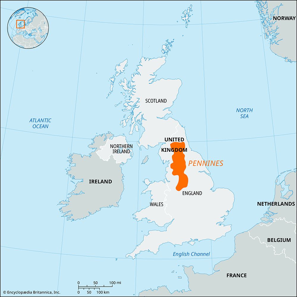
Where are the Pennines located, and what is their geographical extent?
The Pennines are a major upland mass that serves as a geographical “backbone” or “spine” in northern England. They extend southward from Northumberland into Derbyshire.1
The extent of the range is defined by its surrounding lowlands and valleys:
- East, West, and South: The uplands are bordered by the Vale of York, the Lancashire and Cheshire plains, and the valley of the River Trent, respectively.1
- North: The Tyne Gap and Eden Valley separate the Pennines from the Cheviots and the Lake District mountains.1
Rather than a single continuous range, the Pennines consist of hills broken into sections by numerous valleys, known as dales. The system is divided into a broader, higher northern section and a lower southern section by a gap formed by the Rivers Aire and Ribble.1
Sources
- Pennines — Encyclopædia Britannica
- Craven — Encyclopædia Britannica
- Peak District — Encyclopædia Britannica
Published on · 3 min read