Peak District
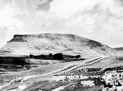
The Peak District is a scenic hill region in England that forms the southern terminus of the Pennines, often referred to as the country's upland "spine."
What is Peak District?
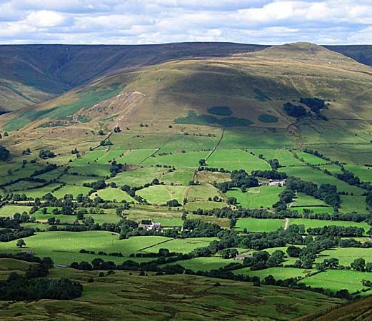
The Peak District is a scenic hill region in England that forms the southern terminus of the Pennines, often referred to as the country’s upland “spine.”12
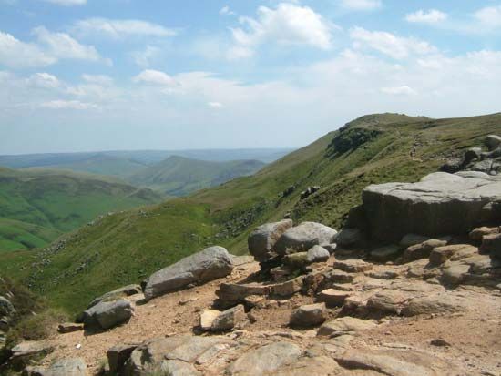
The area is geographically diverse, characterized by high gritstone moorlands in the north—rising to 2,088 feet (636 metres) at Kinder Scout—and a central limestone plateau defined by deep, picturesque dales carved by rivers such as the Wye and the Dove.12
Established in 1950–51, the Peak District National Park covers 542 square miles (1,404 square km). It spans portions of Derbyshire, South Yorkshire, Cheshire East, and Staffordshire. The region is a popular destination for outdoor activities, including rock climbing, caving, and hiking, while also supporting local industries like limestone quarrying and sheep farming.12
What are the Pennines?
The Pennines are a major upland mass that serves as a relief “backbone” or “spine” in northern England, extending from Northumberland south into Derbyshire-England) south into Derbyshire.3
While often incorrectly described as a single mountain range, the Pennines are actually a series of hills broken into numerous short ranges by valleys, or “dales,” carved by rivers. The system acts as a primary watershed for northern England and is divided into two sections by a gap formed by the Rivers Aire and Ribble. The northern section is generally higher, featuring peaks such as Cross Fell (2,930 feet [893 metres]), while the southern section includes the Peak District.34
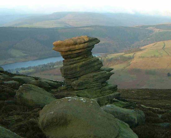
Geologically, the region consists of carboniferous limestone and Millstone Grit, which have been shaped by glacial action and water to create unique features like underground caverns and chasms. The area is known for sheep farming, quarrying, and tourism, and is traversed by the 250-mile Pennine Way footpath.3
How was the Peak District National Park formed?
The Peak District National Park was established in 1950–51, becoming the first national park in the United Kingdom. Its formation was the result of a long-standing campaign for public access to the countryside, which culminated in the National Parks and Access to the Countryside Act of 1949.1
This legislation provided the legal framework to protect the area’s natural beauty and promote opportunities for outdoor recreation, ensuring that the region’s diverse landscapes—ranging from the gritstone moorlands of the north to the limestone dales of the central plateau—remained accessible to the public.1
What is the significance of Kinder Scout?
Kinder Scout is a prominent gritstone plateau in the northern Peak District that reaches an elevation of 2,088 feet (636 metres). It serves as the highest point in the region and is a defining feature of the northern moorlands that form the southern end of the Pennines.
Beyond its physical geography, Kinder Scout holds significant cultural and historical importance as a symbol of the movement for public access to the countryside in England. It is famously associated with the 1932 mass trespass, a pivotal event that galvanized the campaign for the right to roam and directly influenced the eventual establishment of the United Kingdom’s national park system.
We could dive deeper into the history of the 1932 mass trespass or explore the unique geological composition of the gritstone moorlands.
Sources
- Peak District — Encyclopædia Britannica
- High Peak — Encyclopædia Britannica
- Pennines — Encyclopædia Britannica
- England - Relief — Encyclopædia Britannica
Published on · 3 min read