Platte River
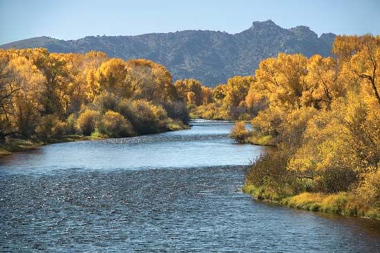
The Platte River plays a critical role in the ecology of Nebraska, serving as a vital component of the continental bird migration route. Its wide, shallow…
How does the Platte River impact the ecosystem and wildlife in Nebraska?
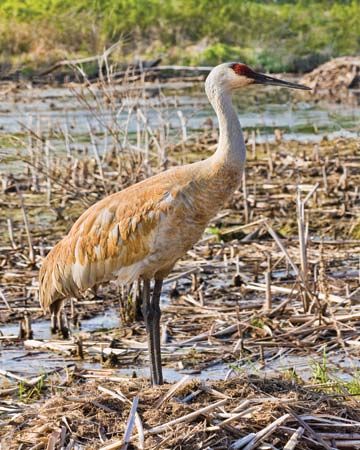
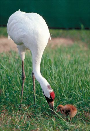
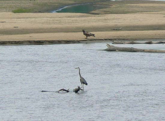
The Platte River plays a critical role in the ecology of Nebraska, serving as a vital component of the continental bird migration route. Its wide, shallow valley provides essential habitat for millions of migratory birds, most notably sandhill cranes and the endangered whooping crane.1
However, the river’s ecosystem faces significant pressure from human activity. The system is heavily utilized for irrigation and municipal water needs, which are supported by more than a dozen dams. These structures regulate the river’s flow and have caused a substantial reduction in the river’s width over time. While the river remains a cornerstone of the state’s irrigation infrastructure, these modifications have fundamentally altered the natural landscape that supports local wildlife.12
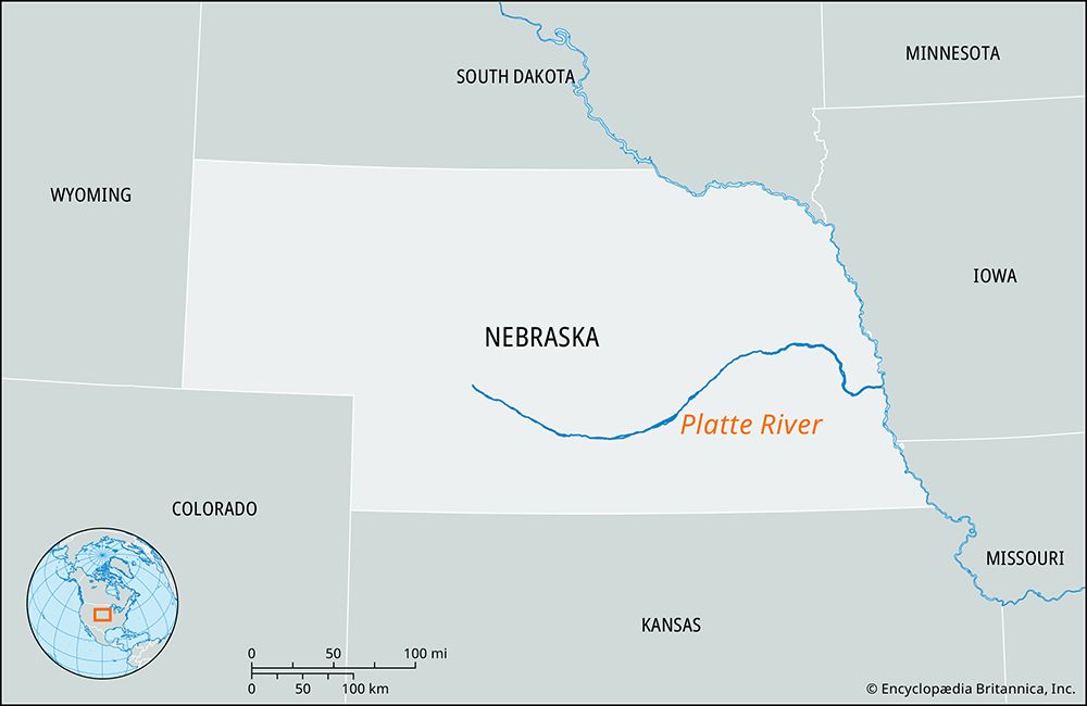
What is the geographic location and course of the Platte River in Nebraska?
The Platte River is a major waterway in Nebraska formed at the city of North Platte by the confluence of the North Platte and South Platte rivers.1
The river itself spans 310 miles (500 km) in length, though the entire system—measured from its source at Grizzly Creek in Colorado—extends 990 miles (1,590 km). Its course through Nebraska follows a distinct path:1
- Initial Flow: It flows southeast toward a large bend at Kearney.
- Directional Changes: From there, it curves northeast before traveling east, south, and east again.
- Termination: The river empties into the Missouri River at Plattsmouth, located approximately 20 miles south of Omaha.1
The river is characterized by extreme shallowness, which prevents navigation, and it drains an area of roughly 90,000 square miles. Major cities situated along its banks include Lexington, Grand Island, Columbus, and Fremont1.1
What major cities or landmarks are located along the Platte River in Nebraska?
Several major cities and significant landmarks are situated along the Platte River in Nebraska, reflecting its historical role as a primary route for westward expansion.
Major Cities
The river flows past several key urban centers, including:
- North Platte: Located at the confluence of the North and South Platte rivers.1
- Kearney: Situated on the north bank of the river, this city was founded at a major railroad junction.4
- Grand Island, Columbus, and Fremont: These cities are also located along the river’s course.1
- Plattsmouth: Positioned near the river’s mouth where it empties into the Missouri River mouth where it empties into the Missouri River.15
- Lexington: Another notable city established along the river.1
Landmarks and Recreational Areas
The Platte River valley is home to various historical and recreational sites:
- Great Platte River Road Archway Monument: Located in Kearney, this monument spans the interstate and commemorates the history of westward trails.4
- Fort Kearny State Historical Park: Situated southeast of Kearney, this park preserves the site of a former U.S. Army post that protected travelers on the Oregon Trail.4
- State Parks and Recreation Areas: The area near the river’s bend features Platte River State Park, Eugene T. Mahoney State Park, and the Schramm Park and Louisville state recreation areas.5
What role did the Platte River play in the westward expansion of the United States?
The Platte River served as a vital geographic corridor during the mid-19th century, functioning as a primary highway for westward expansion across the United States. Although the river’s extreme shallowness made it unsuitable for navigation, its wide, flat valley provided a natural, accessible path for pioneers traveling toward the Pacific.16
Key aspects of its role in westward expansion include:
- Major Migration Route: The Platte valley became the essential route for the Oregon Trail, as well as for Mormon emigrants moving toward the Great Salt Lake region. toward the Great Salt Lake region.17
- Gateway to the West: Following the Louisiana Purchase, the region transitioned from a fur-trading territory into a thoroughfare for thousands of settlers heading to Oregon, California, and Utah.76
- Railroad Development: The valley’s strategic importance led to its identification as a prime route for a transcontinental railroad, culminating in the completion of the Union Pacific Railroad in 1869, which further accelerated the development and settlement of the region.6
Sources
- Platte River — Encyclopædia Britannica
- Nebraska - Drainage — Encyclopædia Britannica
- South Platte River — Encyclopædia Britannica
- Plattsmouth — Encyclopædia Britannica
- Kearney — Encyclopædia Britannica
- Oregon Trail - Missionaries, Mormons, and others — Encyclopædia Britannica
- Nebraska - Exploration and settlement — Encyclopædia Britannica
Published on · 3 min read