Missouri River
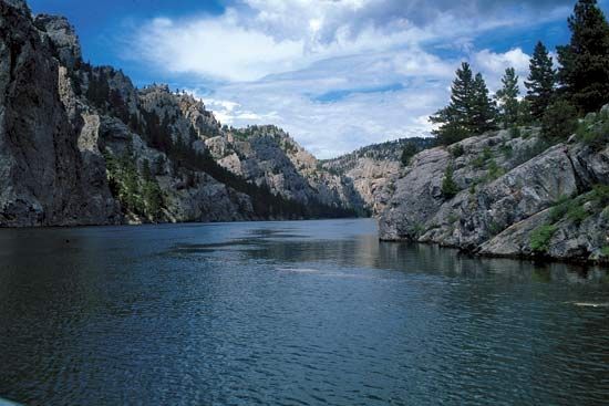
The Missouri River has a total course of 2,315 miles (3,726 km), making it the longest tributary of the Mississippi River and the second-longest river in…
How long is the Missouri River, and how does it compare to other major rivers in North America?
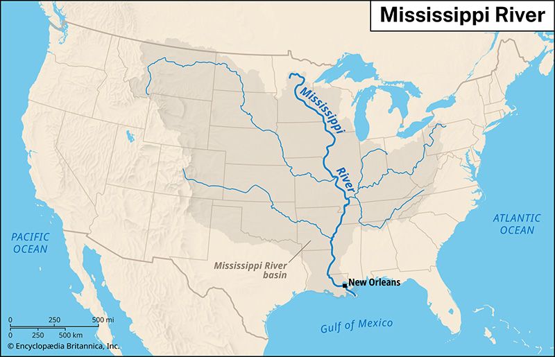
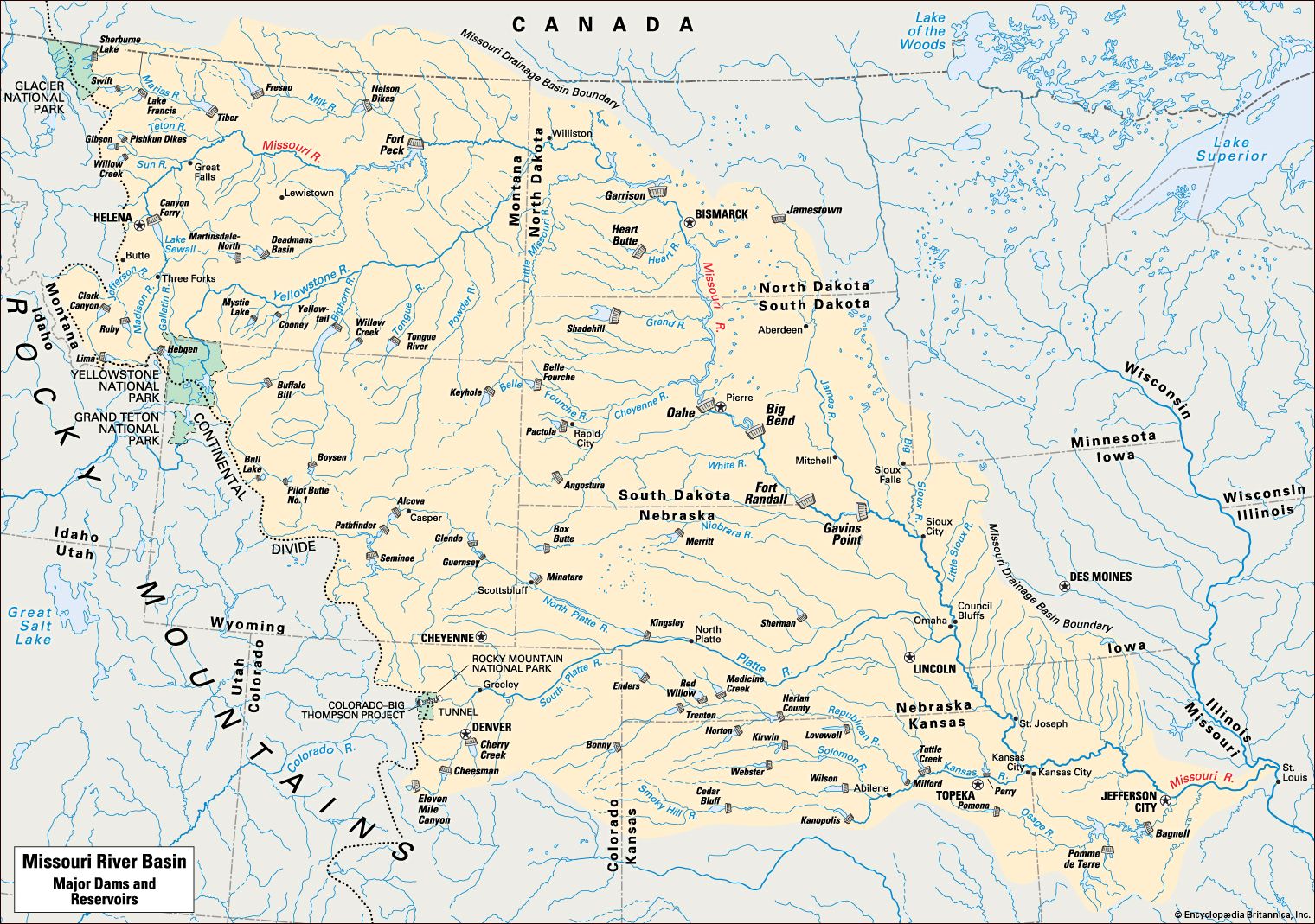
The Missouri River has a total course of 2,315 miles (3,726 km), making it the longest tributary of the Mississippi River and the second-longest river in North America. Some sources calculate its length by including the Red Rock River, resulting in a total system length of approximately 2,540 miles (4,090 km), which ranks it as the third-longest river system on the continent.1
In the context of North American geography, the Missouri is part of the vast Missouri-Mississippi-Ohio system, which drains the heartland of the continent. While the Mississippi is recognized as one of the longest rivers in the world, the Missouri stands out as a primary example of the continent’s east-west drainage asymmetry, where the chief continental divide in the Rocky Mountains forces major tributaries to flow eastward over great distances to reach the sea.2
How did the Lewis and Clark expedition utilize the Missouri River in their exploration of the American West?
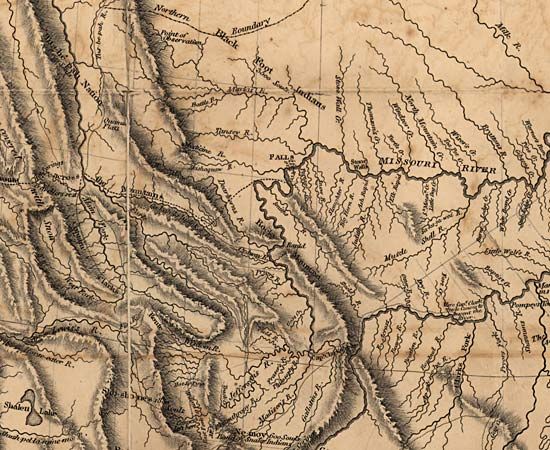
The Lewis and Clark Expedition relied on the Missouri River as the primary artery for their westward journey. President Thomas Jefferson commissioned the exploration specifically to navigate the river in search of a Northwest Passage to the Pacific Ocean, while simultaneously establishing diplomatic ties with Native Americans and expanding the American fur trade.3
The Corps of Discovery utilized various vessels, including a 10-ton keelboat and several pirogues, to traverse the river by poling, pushing, and pulling against the current. Throughout the journey, the river served as a base for:4
- Scientific Observation: The captains documented new plants and animals found along the riverbanks.4
- Diplomacy: The expedition held councils with various tribes, using the river as a corridor to distribute gifts and peace medals.4
- Logistics: The river facilitated the transport of specimens and maps back to St. Louis, notably when a crew returned in 1805 with materials for Jefferson.4
After reaching the Great Falls, the party navigated the river’s forks to the Continental Divide. Upon their return in 1806, the group utilized the Missouri’s current to travel rapidly downstream toward St. Louis.54
What are some of the major cities located along the Missouri River?
The Missouri River flows through several states, supporting numerous significant urban centers along its course. Major cities located along the river include:
- Montana: Great Falls
- North Dakota: Bismarck and Williston
- South Dakota: Pierre
- Iowa: Sioux City and Council Bluffs
- Nebraska: Omaha and Nebraska City
- Kansas: Kansas City, Atchison, and Leavenworth
- Missouri: Kansas City, Jefferson City, St. Joseph, Columbia, and St. Charles
While the river joins the Mississippi River just north of St. Louis, that city serves as a major metropolitan hub at the confluence of these two great waterways.167
What are the main tributaries of the Missouri River?
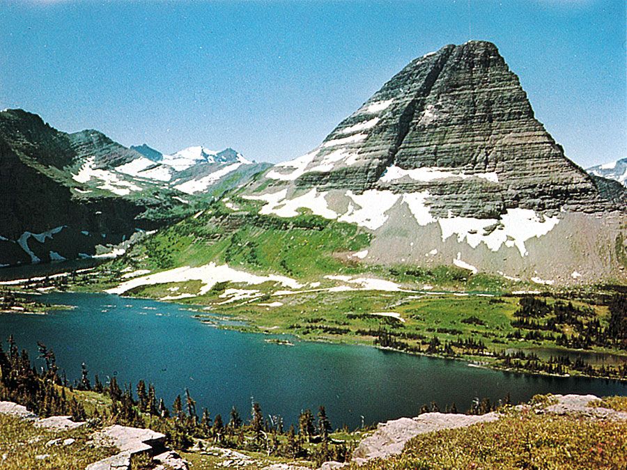
The Missouri River is formed by the confluence of the Jefferson, Madison, and Gallatin rivers. Throughout its course, it is fed by numerous tributaries that enter from various directions:
Major Tributaries
- South and West: Cheyenne, Kansas, Niobrara, Osage, Platte, and Yellowstone rivers.
- North: James and Milk rivers.
Additional Tributaries
- From the South and West: Bad, Blackwater, Cannonball, Gasconade, Grand, Heart, Judith, Knife, Little Missouri, Moreau, Musselshell, and White rivers.
- From the North and East: Big Sioux, Chariton, Little Platte, Marias, Sun, and Teton rivers.
The flow of these tributaries, like the Missouri itself, is highly variable, which has historically contributed to challenges regarding erosion and silting within the drainage basin.1
Sources
- Missouri River — Encyclopædia Britannica
- North America - Drainage — Encyclopædia Britannica
- Lewis and Clark Expedition - Commissioning and preparation — Encyclopædia Britannica
- Today in History—September 23: Welcome Back, Lewis and Clark! — Encyclopædia Britannica
- Lewis and Clark Expedition - Expedition from May 14, 1804, to October 16, 1805 — Encyclopædia Britannica
- Omaha — Encyclopædia Britannica
- Missouri - Settlement patterns — Encyclopædia Britannica
Published on · 3 min read