River Medina
The River Medina is a river located on the Isle of Wight in England. It serves as a primary drainage system for much of the island, originating on high…
What is River Medina?
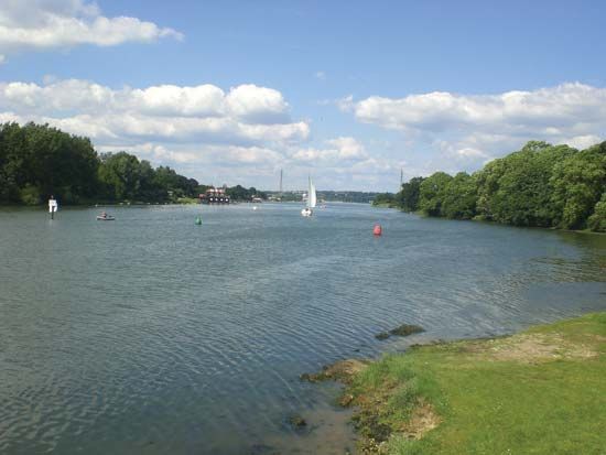
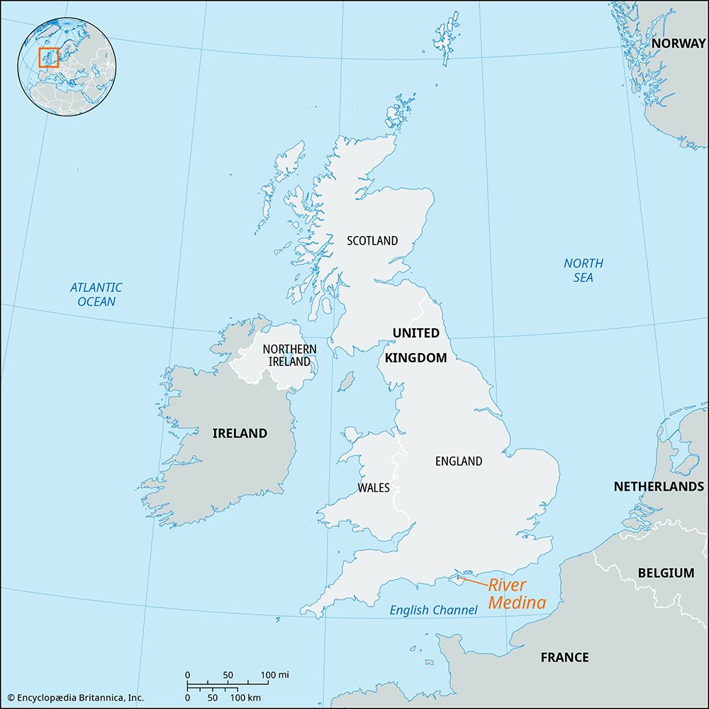
The River Medina is a river located on the Isle of Wight in England. It serves as a primary drainage system for much of the island, originating on high sandstone ground near the southern coast.1
The river flows northward for 12 miles (19 km), passing through a gap in the island’s central chalk ridge. After flowing past Newport, which sits at the head of its estuary, the river empties into The Solent on the English Channel. The towns of Cowes and East Cowes are situated on opposite sides of the river’s mouth.1
What is the significance of The Solent in English history?
The Solent is a significant strait in English history, primarily due to its strategic role in naval defense and maritime commerce. Separating the Isle of Wight from the mainland coast of Hampshire, it provides sheltered access to major ports like Southampton and Portsmouth.234
Key historical aspects include:
- Naval Defense: The strait has long been vital to England’s security. In 1545, it was the site of the Battle of the Solent, a naval engagement that deterred a French invasion. The battle is famously associated with the sinking of Henry VIII’s warship, the Mary Rose.54
- Strategic Fortification: To protect the approaches to these waters, several historic fortresses were constructed, including the 16th-century Hurst Castle and Calshot Castle.2
- Naval Heritage: The eastern portion of the strait, known as Spithead, is renowned for its association with the Royal Navy and its history of hosting major naval reviews.26
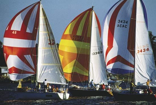
Today, the area remains a center for maritime activity, celebrated for its international yachting events, particularly from the port of Cowes.23
How do rivers form estuaries as they reach the sea?
Estuaries form primarily through the interaction between river systems and rising sea levels. Most modern estuaries were created following the end of the Wisconsin Glacial Stage approximately 18,000 years ago. As glaciers melted, global sea levels rose, flooding river valleys that had been carved during periods of lower sea levels, creating “drowned river estuaries” like the Chesapeake Bay.78
In addition to rising sea levels, estuaries are shaped by three main geological agents:
- Erosion: Glacial activity can carve deep, narrow valleys that become fjords when inundated by the sea.78
- Deposition: Features such as spits and barrier islands can enclose coastal waters, creating lagoons or partially enclosed bays that function as estuaries.98
- Tectonic Activity: The downfaulting or subsidence of coastal land can create structural basins, such as San Francisco Bay, which then fill with water.78
Once formed, an estuary is defined by the mixing of fresh river water and salt water, a process influenced by tidal flow, river discharge, and coastal topography.98
What are the main geographical features of the Isle of Wight?
The Isle of Wight is a diamond-shaped island located in the English Channel, separated from the mainland by the deep strait known as The Solent. Its geography is characterized by several distinct features:
- Chalk Ridge: A prominent chalk ridge forms the island’s backbone, stretching across its entire breadth from Culver Cliff in the east to The Needles in the west. The Needles themselves are three detached masses of chalk rising approximately 100 feet (30 meters) off the westernmost point.
- Topography and Soils: The northern portion of the island features heavy soils that support oak woodlands, while the southern region contains a second range of downs. The south coast is primarily cliffbound.
- River Systems: Three primary rivers—the Eastern Yar, the Medina, and the Western Yar—flow northward into The Solent. The Medina River nearly bisects the island, and the Western Yar almost insulates the western portion of the island.
Sources
- River Medina — Encyclopædia Britannica
- The Solent — Encyclopædia Britannica
- Battle of the Solent: Top Questions — Encyclopædia Britannica
- Isle of Wight — Encyclopædia Britannica
- Spithead — Encyclopædia Britannica
- Portsmouth — Encyclopædia Britannica
- estuary - Geology and geomorphology — Encyclopædia Britannica
- estuary — Encyclopædia Britannica
- estuary - Salt wedge estuaries — Encyclopædia Britannica
- river - Origin and classification — Encyclopædia Britannica
- river - Sedimentation in estuaries — Encyclopædia Britannica
- coastal landforms - Tides — Encyclopædia Britannica
- tidal flat — Encyclopædia Britannica
Published on · 3 min read