River Medway
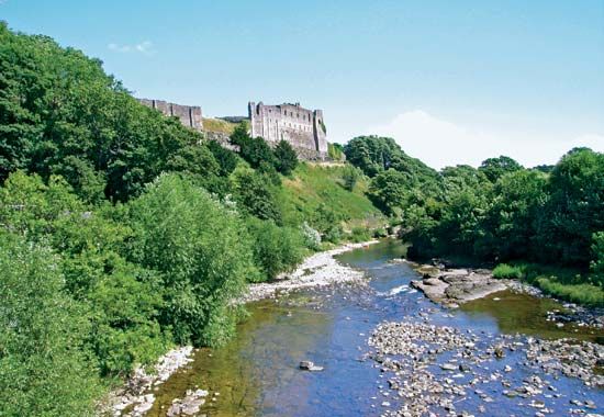
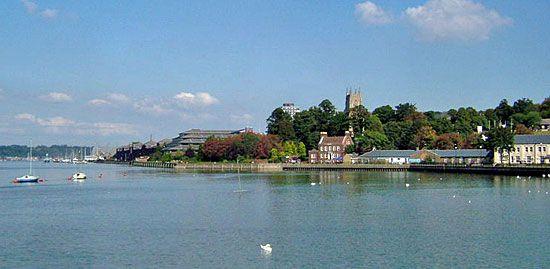
The River Medway is a 70-mile-long (110 km) river located in southeastern England. Rising in The Weald region of Kent, the river flows northward, cutting…
What is River Medway?
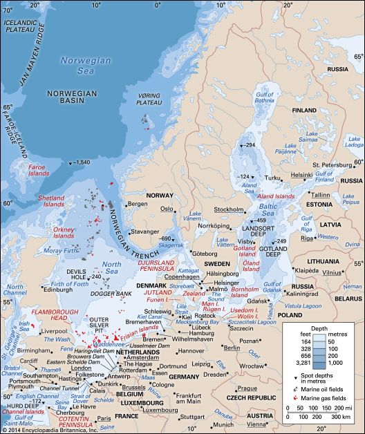
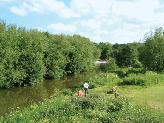
The River Medway is a 70-mile-long (110 km) river located in southeastern England. Rising in The Weald region of Kent, the river flows northward, cutting through the North Downs between Maidstone and Rochester before reaching its mouth at the North Sea near Sheerness.1
The lower 12 miles (20 km) of the river form a tidal estuary that is navigable by shallow seagoing vessels. The area surrounding the river’s mouth is known as Medway, a unitary authority that includes the “Medway Towns” of Chatham, Gillingham, Rainham, and Rochester. Historically and economically significant, the river frontage has long been a hub for industry, including engineering plants, cement works, paper mills, and the former major naval dockyard at Chatham.12
What are the North Downs?
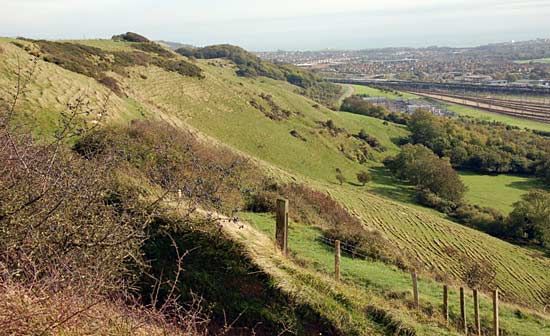
The North Downs are a range of rounded, grass-covered hills in southern England, primarily located within the counties of Kent and Surrey. These hills are composed of chalk and form part of the broader Downs, a landscape characterized by its distinctive geology and elevation, reaching heights of approximately 965 feet (294 metres).345
Geologically, the North Downs serve as the northern boundary of the Weald, a vast geologic upfold or dome. As the arch of this dome eroded over time, the North Downs remained as an inward-facing chalk escarpment, mirroring the South Downs to the south.6
The region is historically significant, notably featuring the Pilgrims’ Way, a famous prehistoric trackway that runs along the hills. Due to the porous nature of the chalk, the summits are typically dry, and the area is known for its unique vegetation, including rare orchids and scattered woodlands of beech, yew, and box.74
How do tidal estuaries work?
An estuary is a partly enclosed coastal body of water where river water meets and mixes with seawater. These environments are defined by salinity gradients rather than fixed geographic boundaries, as they function as transition zones where salt water is measurably diluted by fresh water.89
How Mixing Works
The interaction between fresh and salt water is driven by several physical processes:
- Density Differences: Fresh water is lighter than salt water and typically forms a surface layer that floats atop the denser, more saline marine water.8
- Tidal Influence: The ebb and flow of tides generate turbulence that mixes these layers. The degree of mixing depends on the strength of the tidal current relative to the river’s discharge.1011
- Classification:
- Salt-wedge estuaries: Dominated by river flow with minimal mixing; a distinct wedge of seawater underlies the fresh water.1012
- Partially mixed estuaries: Increased tidal turbulence causes significant mixing, creating a more complex, two-way flow of water.1011
- Vertically homogeneous estuaries: Strong tidal currents produce total mixing, resulting in constant salinity from the surface to the bottom.10
This unique circulation traps nutrients, making estuaries among the most biologically productive environments on Earth.812
What is the history of the Chatham Dockyard?
The Chatham Dockyard is a historic naval site located in Kent, England, situated along the River Medway. Its development is central to the history of the town of Chatham.
- Establishment: The dockyard was founded by Henry VIII to support the Royal Navy.
- Expansion: The facilities were later improved during the reign of Charles I.
- Strategic Importance: The site, which sits on reclaimed land near a tidal estuary, played a significant role in British naval history. During the Napoleonic Wars, the area was further fortified with a series of defenses known as the “Chatham Lines.”
- Modern Era: After serving as a vital naval base for centuries, the dockyard was closed in the early 1980s. Today, the site is managed as a historic trust, preserving its maritime heritage.
Sources
- River Medway — Encyclopædia Britannica
- Medway — Encyclopædia Britannica
- North Downs — Merriam-Webster
- Downs — Encyclopædia Britannica
- United Kingdom - The lowland zone — Encyclopædia Britannica
- England - Relief — Encyclopædia Britannica
- Pilgrims’ Way — Encyclopædia Britannica
- estuary — Encyclopædia Britannica
- river - Origin and classification — Encyclopædia Britannica
- tidal flat — Encyclopædia Britannica
- estuary - Partially mixed estuaries — Encyclopædia Britannica
- estuary - Salt wedge estuaries — Encyclopædia Britannica
- river - Estuaries — Encyclopædia Britannica
- coastal landforms - Tides — Encyclopædia Britannica
- Chatham — Encyclopædia Britannica
Published on · 3 min read