Sierra Morena
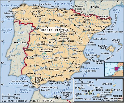
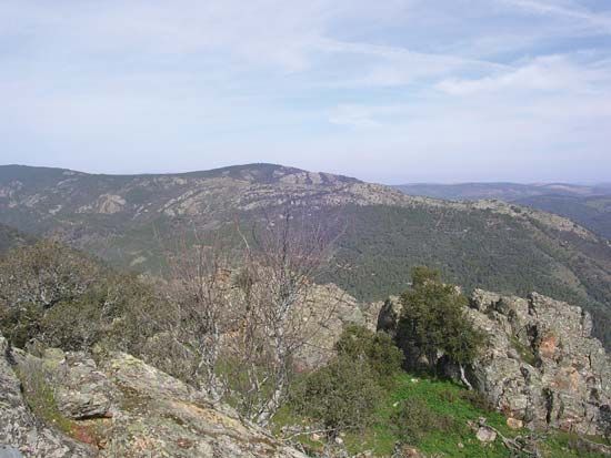
The Sierra Morena has historically served as a formidable barrier to transportation and communication in south-central Spain. Due to its great breadth and…
How do the Sierra Morena mountains affect transportation and communication in the region?
The Sierra Morena has historically served as a formidable barrier to transportation and communication in south-central Spain. Due to its great breadth and rugged, desolate terrain, the range creates a significant physical divide between the Meseta Central and the Guadalquivir valley, where the land drops abruptly by approximately 3,000 feet (1,000 meters).1
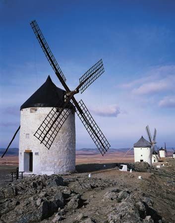
Because of these challenging geographical features, movement through the region is highly constrained. The primary communication and transportation route connecting Madrid and Sevilla is forced through a specific corridor: passing through La Mancha, the city of Córdoba, and the Despeñaperros Pass. This reliance on a singular mountain pass highlights how the range has dictated the flow of travel and infrastructure development throughout Spanish history.1
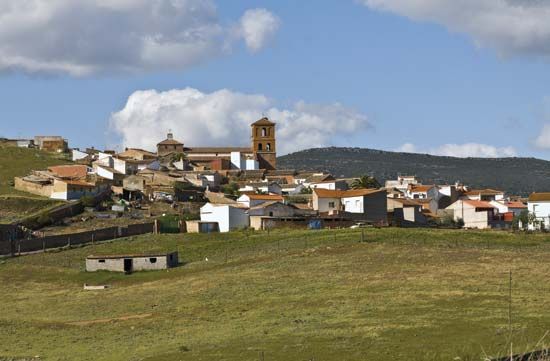
What natural resources are found in the Sierra Morena, and how have they been exploited historically?
The Sierra Morena is rich in mineral deposits, which have been a focal point of economic activity in the region for centuries. The exploitation of these natural resources is concentrated in specific mining districts:
- Silver, Lead, and Copper: These metals are extracted in the Linares region.1
- Mercury: The town of Almadén is historically significant for its mercury production.1
- Copper: Significant copper mining operations are located at Nerva and Tharsis, situated within the Sierra de Aracena.1
Beyond mineral extraction, the foothills of the mountain range support agricultural and pastoral activities, specifically livestock raising and the cultivation of cereals. While the rugged, desolate nature of the range has historically hindered transportation, these mineral-rich areas have driven human settlement and industrial development in the surrounding landscape.1
How has the Sierra Morena influenced human settlement and economic activities in the region?
The Sierra Morena has profoundly shaped human activity in south-central Spain by acting as a significant geographic and economic divider.
Influence on Settlement and Economy
The range serves as a formidable barrier between the Meseta Central and the Guadalquivir River basin. Because of its rugged, desolate terrain, human settlement is sparse within the mountains themselves, while the lower, fertile plains to the south have historically supported denser populations and intensive agriculture.13
Economic activities in the region are defined by two primary sectors:
- Mining: The Sierra Morena is rich in mineral resources, which have historically driven industrial development. Key extraction sites include the Linares region for silver, lead, and copper; Almadén for mercury; and Nerva and Tharsis for copper. While the mining industry peaked in the late 19th century, these mountains continue to produce coal, iron, copper, and lead today.13
- Agriculture and Pastoralism: In the foothills, the economy relies on livestock raising and the cultivation of cereals. Additionally, cork trees are harvested in the mountainous areas.13
The range also dictates regional infrastructure, as the primary communication route between Madrid and Sevilla is forced through the narrow Despeñaperros Pass.1
How does the Sierra Morena impact the climate and water resources of southern Spain?
The Sierra Morena plays a critical role in the hydrology and geography of southern Spain, primarily by functioning as a major natural divide.
Watershed and Hydrology
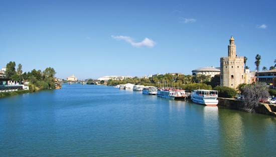
The mountain range serves as the primary watershed separating the Guadiana River basin to the north and the Guadalquivir River basin to the south. By acting as this drainage divide, the Sierra Morena influences the flow patterns of these major river systems. The Guadiana River, in particular, has a relatively meager flow because its basin drains the low-rainfall areas of the Sierra Morena, the Toledo Mountains, and the plains of La Mancha.13
Climate and Topographic Influence
Topographically, the Sierra Morena acts as a formidable barrier that separates the high Meseta Central from the lower Guadalquivir valley, dropping abruptly by approximately 3,000 feet (1,000 meters). While the range itself is characterized by wild, desolate terrain covered in dense evergreen bushes and shrubs, it contributes to the regional climate by defining the boundaries of the Mediterranean climate zones found in the lowlands of Andalusia. The mountains help delineate the transition between the arid, interior plateaus and the more varied, fertile plains of the south.154
Sources
- Sierra Morena — Encyclopædia Britannica
- Sierra Morena — Merriam-Webster
- Andalusia - Geography — Encyclopædia Britannica
- Meseta Central — Encyclopædia Britannica
- Guadiana River — Encyclopædia Britannica
Published on · 3 min read