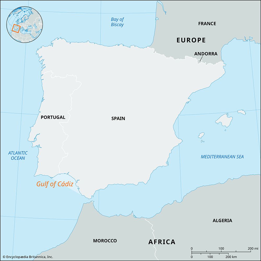
Guadiana River
The Guadiana River serves as a natural boundary between Spain and Portugal along specific segments of its course. It marks the international frontier in two…
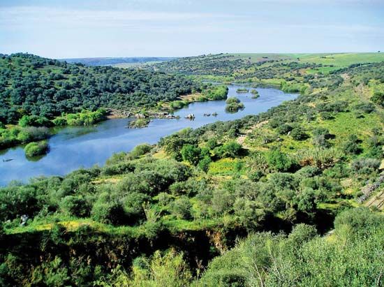
What role does the Guadiana River play in marking the border between Spain and Portugal?
The Guadiana River serves as a natural boundary between Spain and Portugal along specific segments of its course. It marks the international frontier in two primary areas: between the Spanish city of Badajoz and the Portuguese town of Monsaraz, and again downstream from the Portuguese town of Pomarão.1
While the river is a significant geographical feature of the Iberian Peninsula, its role as a border is limited to these stretches. Due to rocky defiles and sandbars at its mouth, the river is navigable by small boats for only 42 miles upstream to Mértola, Portugal, while larger vessels are restricted to the lower reaches between Pomarão and the coastal ports of Ayamonte, Spain, and Vila Real de Santo António, Portugal.1
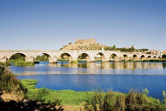
What are some important tributaries of the Guadiana River?
The Guadiana River features approximately 30 major tributaries that contribute to its drainage basin. These tributaries vary in their flow characteristics based on the terrain they traverse:1
- Upper Basin Tributaries: The Záncara, which is considered the true source of the upper Guadiana, and the Gigüela rise in the mountains of Cuenca province. These rivers contribute to the formation of marshy lakes known as the Ojos del Guadiana.1
- Intermittent Streams: Due to the porous limestone found in parts of the basin, several streams—including the Guadiana Alto, Azuer, and Cárcoles—often disappear underground. Despite this, they eventually feed into the main river system.1
The river’s overall flow is relatively modest compared to other major rivers of the Iberian Peninsula, as its basin primarily drains arid regions such as the Sierra Morena and the plains of La Mancha.1
Are there any notable bridges or dams built across the Guadiana River?
The Guadiana River features several significant dams that have been instrumental in regional development. As the river flows westward, it cuts through the ridges of the Toledo Mountains, creating natural defiles that serve as sites for major dam construction.1
These dams are central to the Badajoz Plan, a major irrigation and development project launched in 1952 to revitalize one of Spain’s most arid regions. Key features of this infrastructure include:
- Four Major Dams: These structures have created reservoirs exceeding 20 miles (32 km) in length within the eastern part of Badajoz province.1
- Utility: The dams provide essential hydroelectric power to local towns and villages and supply irrigation water for hundreds of thousands of acres of agricultural land.1
By the late 1960s, these projects successfully transformed the local economy, supporting the growth of urban centers and the establishment of numerous industrial enterprises.1
How does the Guadiana River contribute to the local ecosystem and biodiversity?
The Guadiana River plays a vital role in supporting regional biodiversity, particularly through its unique hydrological features.
- Ojos del Guadiana: West of Daimiel, the Záncara and Gigüela rivers converge to form a series of marshy lakes known as the Ojos del Guadiana (“Eyes of the Guadiana”). These wetlands serve as a significant wildfowl sanctuary, providing a critical habitat for various bird species.1
- Hydrological Diversity: The river’s basin includes areas of porous limestone that create a shallow water table. This geological structure supports intermittent streams that, while sometimes disappearing underground, maintain the connectivity of the river system and contribute to the local ecological balance.1
While the river is heavily utilized for the Badajoz Plan—a major irrigation and hydroelectric project—the preservation of its natural marshlands remains a key aspect of the river’s ecological profile.1
Sources
- Guadiana River — Encyclopædia Britannica
Published on · 3 min read