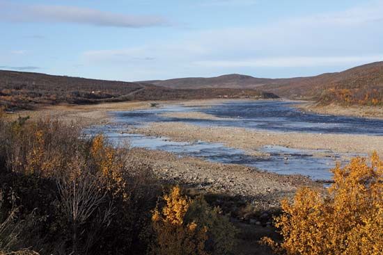
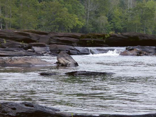
Struma River
The Struma River flows through western Bulgaria and northeastern Greece, serving as a vital routeway between Sofia and the Aegean Sea. Several notable towns…
What are the major cities or towns situated along the Struma River?
The Struma River flows through western Bulgaria and northeastern Greece, serving as a vital routeway between Sofia and the Aegean Sea. Several notable towns and industrial centers are situated along its course:1
- Pernik: Located in Bulgaria, this town is a significant site for the extraction of brown coal.1
- Blagoevgrad: Situated in the Struma River valley in southwestern Bulgaria, this town is a major cultural and educational hub, known for its history as an ancient Thracian settlement and its modern tobacco and textile industries.2
- Bobov Dol and Brezhani: These locations are also identified as key sites for brown coal mining within the river’s valley.1
While the river passes through various regions, its lower course in Greece has been significantly altered by canalization and flood control projects, transforming the area into an agricultural valley.1
Where is the Struma River located and which countries does it flow through?
The Struma River is located in the Balkan Peninsula, flowing through western Bulgaria and northeastern Greece.1
Rising in the Vitosha Massif of the Rhodope Mountains in Bulgaria, southwest of Sofia, the river travels 258 miles (415 km) in a south-southeast direction. It serves as a critical geographic corridor, providing a direct routeway from Sofia to the Aegean Sea, where it eventually empties 30 miles (50 km) west-southwest of Kavála.1
What is the historical significance of the Struma River in the region?
The Struma River has held long-standing historical significance primarily as a vital geographic corridor. By providing a direct routeway between Sofia and the Aegean Sea, the river valley has served as a critical artery for transportation and regional connectivity throughout the Balkan Peninsula.1
Beyond its role as a transit route, the river has been essential to the economic development of the region. Its valley is a major source of brown coal for Bulgaria, with significant extraction sites located at Pernik, Bobov Dol, and Brezhani. In the 20th century, the river’s historical landscape was further transformed through major engineering efforts; following the canalization of its lower course in 1930, the region underwent significant flood control projects, including the draining of Lake Akhinós and the creation of Lake Kerkínis. These interventions converted the lower river basin into a productive agricultural valley, cementing its importance to the local economy.1
We could dive deeper into the historical development of the cities along the river or explore the impact of these 20th-century engineering projects on the local environment.
How is the Struma River used for agriculture, industry, or hydroelectric power?
The Struma River plays a vital role in the economy of the region through its contributions to industry and agriculture:
- Industry: The river valley is a significant source of brown coal for Bulgaria. Major extraction sites are located at Pernik, Bobov Dol, and Brezhani.1
- Agriculture: The lower course of the river, located south of the Rupel Pass in Greece, has been transformed into a wide, productive agricultural valley. This development was facilitated by major 20th-century engineering projects, including the 1930 canalization of the river, the draining of Lake Akhinós, and the creation of Lake Kerkínis for flood control.1
While the river is essential for these sectors, the provided information does not contain details regarding its use for hydroelectric power.
Sources
- Struma River — Encyclopædia Britannica
- Blagoevgrad — Encyclopædia Britannica
Published on · 2 min read