Taunus
The Taunus region plays a significant role in the German wine industry, particularly through its geographical influence on the Rheingau, a renowned…
How has the Taunus region influenced the wine industry in Germany?
The Taunus region plays a significant role in the German wine industry, particularly through its geographical influence on the Rheingau, a renowned viticultural area. The range features a high ridge that overlooks the slopes between Biebrich and Bingen, providing a favorable environment for cultivation.1
On these lower slopes, the unique topography and climate allow for the successful planting of vineyards. Specifically, the Rheingaugebirge—the mountains within the Rhine gorge—contain vineyards that are highly regarded for producing grapes used in quality white wines. Beyond viticulture, the region’s historical and cultural landscape, including its proximity to the Rhine and ancient sites like the Cistercian abbey at Eberbach, further defines the character of this area.1
Are there any notable castles or fortresses in the Taunus highlands?
The Taunus highlands are home to numerous historic fortifications and castles that reflect the region’s long and complex history. Notable sites include:
- Falkenstein Castle: A prominent medieval structure located within the range.1
- Königstein Fortress: A significant historical fortification known for its strategic position.1
- Saalburg: Perhaps the most important historical monument in the area, this is a reconstructed Roman fort that served as a communication hub along the limes, a fortified frontier line established in the 1st century CE.1
- Altkönig: This mountain features two concentric lines of pre-Roman fortifications, highlighting the region’s ancient defensive history.1
- Rhine Valley Sites: The western edge of the Taunus, where the mountains meet the Rhine, features iconic structures such as the castles of Stahleck and Pfalz.1
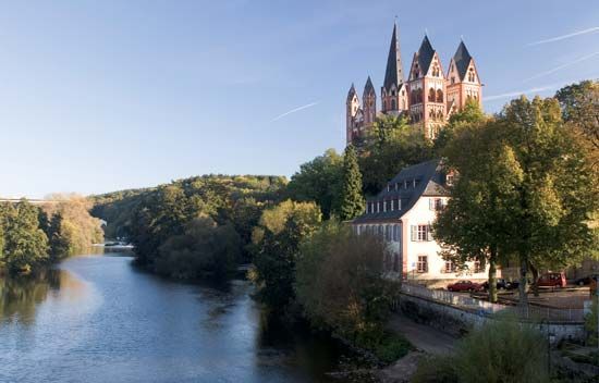
Additionally, the nearby Lahn River valley, which borders the Taunus, contains a dense collection of medieval ruins and castles, including those at Schaumburg, Balduinstein, Laurenburg, Langenau, Burg Stein, Nassau, and Runkel.2
What is the geographical location and extent of the Taunus highlands in Germany?
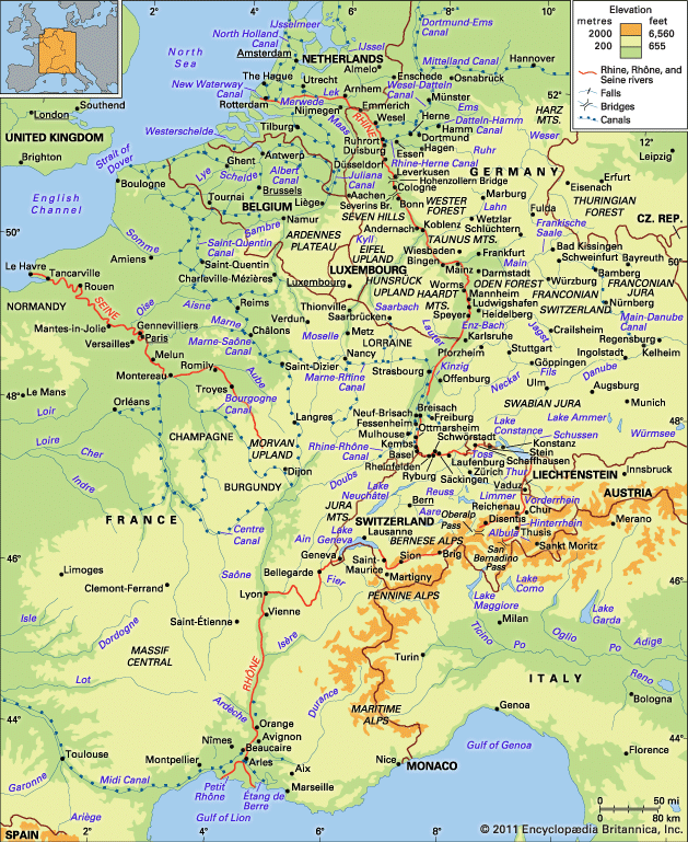
The Taunus is a wooded highland region in Germany that extends across parts of the states of Hesse and Rhineland-Palatinate.1
The range spans approximately 50 miles (80 km) in length and is defined by the following geographical boundaries:
- West: The Rhine River
- South: The Main River
- North: The Lahn River
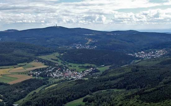
The region features an average elevation of 1,500 feet (460 meters). Its topography is characterized by a steep slope along the Rhine, particularly downstream from Bingen, and a higher ridge overlooking the Rheingau. The highest elevations are concentrated in the east, where the Grosser Feldberg (2,887 feet), Kleine Feldberg (2,710 feet), and Altkönig (2,618 feet) dominate the surrounding landscape.1
While the highlands are primarily covered in beech and pine forests, lower slopes are utilized for agriculture, including vineyards, orchards, and groves.1
What is the highest peak in the Taunus highlands and how tall is it?
The highest peak in the Taunus highlands is the Grosser Feldberg. It reaches an elevation of 2,887 feet (880 meters).
Sources
- Taunus — Encyclopædia Britannica
- New Braunfels — Encyclopædia Britannica
- Lahn River — Encyclopædia Britannica
- Haardt Mountains — Encyclopædia Britannica
- Hunsrück — Encyclopædia Britannica
Published on · 2 min read