Tone River
The Tone River is the most heavily modified river in Japan, playing a critical role in regional water management and flood control. To manage its flow and…
What role does the Tone River play in Japan’s water management and flood control?
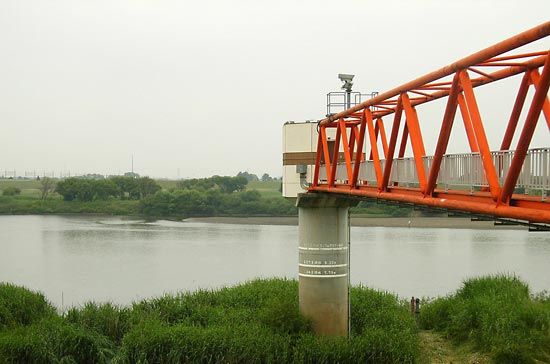
The Tone River is the most heavily modified river in Japan, playing a critical role in regional water management and flood control. To manage its flow and mitigate flooding across the Kanto Plain, the river’s entire length has been reinforced with dikes, and its course has been historically altered, most notably in 1654 when it was diverted away from Tokyo Bay.1
Beyond flood control, the river is an essential resource for the surrounding population:
- Water Supply: It serves as a primary source of fresh water for the Tokyo-Yokohama metropolitan area.2
- Irrigation: The river provides indispensable water for agricultural irrigation throughout its extensive drainage basin.1
- Energy Production: Since 1950, dams constructed on the river’s headwaters have been used to generate hydroelectricity and create reservoirs that supply the Keihin Industrial Zone.1
While the river is vital for urban and industrial needs, proposals to further divert water from other regions into the Tone system have faced significant opposition from rural prefectures.2
What is the historical significance of the Tone River in Japanese culture?
The Tone River holds significant historical importance in Japan, particularly as the principal river of the Kanto region, where it was once known as Bando Taro. Its cultural and economic legacy is defined by its role as a vital transportation network; the river system facilitated trade and gave rise to numerous small port towns, such as Sawara, Sekiyado, Noda, and Nagareyama, which thrived before the advent of modern road and rail transport.1
The river’s relationship with human society is also marked by extensive engineering. Most notably, in 1654, the Tokugawa shogunate diverted the river’s lower course away from Tokyo Bay to improve flood control for the city of Edo. This massive undertaking fundamentally reshaped the geography of the Kanto Plain and reflects the long-standing Japanese effort to manage the landscape for urban stability. Today, the river remains an indispensable resource, serving as a primary water source for the populous Kanto region and supporting the industrial development of the Keihin area through hydroelectric power and reservoirs.134
How long is the Tone River and what are its major tributaries?
The Tone River flows for a total length of 200 miles (320 km) across the Kanto Plain on the island of Honshu, Japan.1
While the river system is extensive and includes numerous tributaries and distributaries that have historically supported a vital transportation network, specific names of these individual tributaries are not detailed in the available records.1
What is the geographical location of the Tone River in Japan?
The Tone River is located on the island of Honshu, Japan, where it serves as the primary river of the Kanto Plain.13
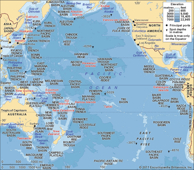
The river originates in the volcanic region of the northwestern Kanto district, approximately 35 miles (56 km) north of Maebashi in Gumma Prefecture. From this headwater, it flows for 200 miles (320 km) in a south and southeasterly direction through the center of the Kanto Plain. The river eventually empties into the Pacific Ocean at Choshi in Chiba Prefecture, near Cape Inubo. Its drainage basin covers the majority of the Kanto Plain, which is the most extensive lowland in Japan.13
Sources
- Tone River — Encyclopædia Britannica
- Tokyo-Yokohama Metropolitan Area - Services of the Tokyo-Yokohama Metropolitan Area — Encyclopædia Britannica
- Kantō Plain — Encyclopædia Britannica
- Tokyo-Yokohama Metropolitan Area - Site — Encyclopædia Britannica
Published on · 2 min read