Vaal River
The Vaal River is a vital component of South Africa’s infrastructure, serving as a primary water source for the domestic and industrial needs of the…
How does the Vaal River contribute to South Africa’s water supply and economy?
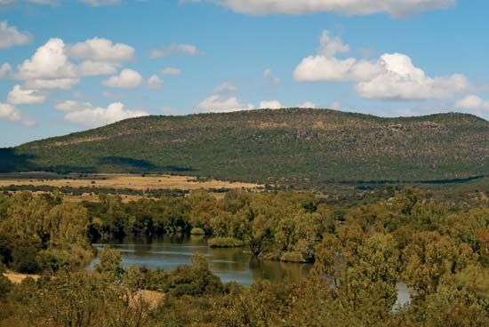
The Vaal River is a vital component of South Africa’s infrastructure, serving as a primary water source for the domestic and industrial needs of the Witwatersrand region. Because the river’s natural flow is often minimal, its utility is maintained through extensive regulation, primarily by the Vaal Dam.1
To ensure a reliable supply, the river is fully developed for economic use. Water management strategies include the Vaalhartz irrigation scheme, which supports agricultural productivity. Furthermore, to meet increasing demand, the system has been augmented by inter-basin transfer schemes, such as the Tugela-Vaal Water Project and the Lesotho Highlands Water Project, which channels additional water into the Vaal basin.12
What are some of the main dams and reservoirs along the Vaal River, and what purposes do they serve?
The Vaal River is a heavily regulated waterway, with its flow managed to support the domestic and industrial needs of South Africa’s Witwatersrand region. The primary infrastructure along the river includes:
- Vaal Dam: Located 23 miles (37 km) upstream of Vereeniging, this is the central structure for regulating the river’s flow. It serves as a critical water-storage facility to ensure a consistent supply despite the river’s naturally minimal and variable flow.12
- Vaalhartz Irrigation Scheme: Near Warrenton, water is diverted from the river into this major irrigation system, which is essential for agricultural productivity in the region.1
While the Vaal itself is fully developed, its capacity is further bolstered by inter-basin transfer projects that bring water from other areas to meet high demand. These include the Tugela-Vaal Water Project and the Lesotho Highlands Water Project, the latter of which involves a series of dams and reservoirs in the basins of the Senqu, Malibamatso, and Senqunyane rivers.4
Where is the Vaal River located in South Africa, and what are its major geographical features?
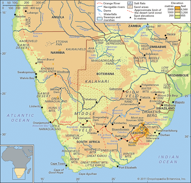
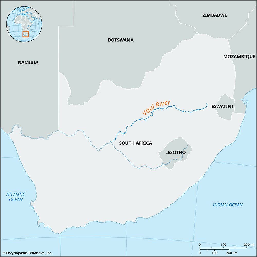
The Vaal River is a major northern tributary of the Orange River in South Africa. It rises at Sterkfontein Beacon near Breyten in the Mpumalanga province and flows approximately 750 miles (1,210 km) in a southwesterly direction until it reaches its confluence with the Orange River near the town of Douglas.13
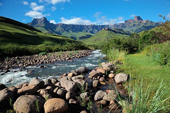
Geographically, the Vaal is characterized as a plateau river that occupies a shallow bed. Its middle section serves as the northern provincial boundary for the Free State. While the river’s flow is typically minimal for most of the year, it can become a muddy torrent during the winter months—a feature that inspired its name, which translates to “Gray-Brown.”1
The river’s landscape is shaped by several key features:
- Tributaries: The Klip, Wilge, Vals, Vet, and Riet rivers enter the Vaal along its left bank.1
- Regulation: The river is heavily managed, with its flow regulated by the Vaal Dam located upstream of Vereeniging.1
- Development: It is a fully developed economic artery, providing essential water for the industrial and domestic needs of the Witwatersrand region.15
How does the Vaal River’s flow change seasonally, and what impact does this have on surrounding areas?
The flow of the Vaal River is characterized by significant seasonal variability. For the majority of the year, the river’s natural flow is minimal. However, during the winter months, the river can transform into a powerful, muddy torrent—a phenomenon that is responsible for its name, which translates to “Gray-Brown.”1
To mitigate the risks associated with this inconsistent flow and to ensure a reliable water supply, the river is heavily regulated by infrastructure such as the Vaal Dam. This regulation is vital for the Witwatersrand region, as the river serves as a fully developed economic artery providing essential water for both domestic and industrial needs. Furthermore, because the river’s natural capacity is insufficient to meet high demand, it is supplemented by inter-basin transfer schemes, including the Tugela-Vaal Water Project and the Lesotho Highlands Water Project.12
Sources
- Vaal River — Encyclopædia Britannica
- Orange River - Irrigation — Encyclopædia Britannica
- Vaal — Merriam-Webster
- reservoir — Encyclopædia Britannica
- Orange River - Physiography — Encyclopædia Britannica
Published on · 3 min read