Woodall Mountain
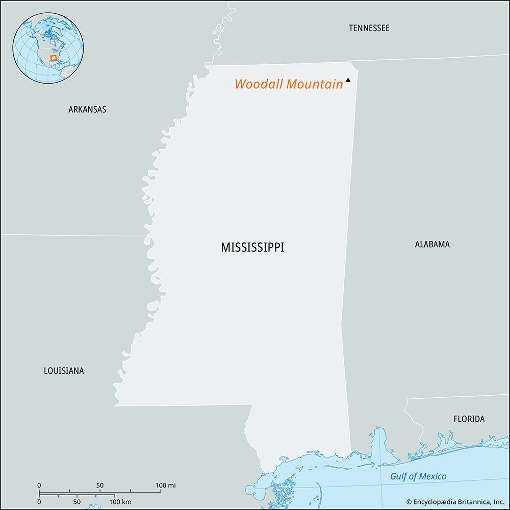
Woodall Mountain is the highest point in the U.S. state of Mississippi, reaching an elevation of 806 feet (246 metres) above sea level. Located in Tishomingo…
What is Woodall Mountain?
Woodall Mountain is the highest point in the U.S. state of Mississippi, reaching an elevation of 806 feet (246 metres) above sea level. Located in Tishomingo County, it sits in the westernmost foothills of the southern Appalachian Mountains.1
The mountain is historically significant as the site of the American Civil War Battle of Iuka, fought on September 19, 1862, near its base between Union forces led by General William S. Rosecrans and Confederate troops under General Sterling Price. The peak is believed to be named after Zephaniah H. Woodall, a former sheriff of Tishomingo County.1
What was the significance of the Battle of Iuka?
The Battle of Iuka, fought on September 19, 1862, was a significant engagement during the American Civil War that took place near the base of Woodall Mountain. During this conflict, a Union force commanded by General William S. Rosecrans was initially repulsed by Confederate troops under the leadership of General Sterling Price.1
While the Battle of Iuka was a notable clash, it served as a precursor to the more decisive Battle of Corinth held just weeks later in October 1862. In that subsequent engagement, the same commanders faced off again near the strategic railroad hub of Corinth, where Union forces successfully repulsed a larger Confederate offensive, effectively securing the Union’s hold on the region’s vital transportation infrastructure.23
How do the Appalachian Mountains extend into Mississippi?
The Appalachian Mountains do not extend into Mississippi in the traditional sense of a continuous mountain range. Instead, the state is primarily characterized by the low-lying Coastal Plain physiographic region.4
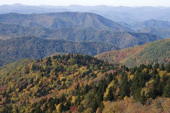
The only area in Mississippi that features terrain reminiscent of the mountains of the southeastern United States is the extreme northeast corner of the state. Here, the Tennessee Hills arch between Tennessee and Alabama, representing the westernmost foothills of the southern Appalachian system. This region includes Woodall Mountain, which, at 806 feet (246 metres), serves as the state’s highest point. Aside from this hilly northeastern section, the state is defined by plains, prairies, and river lowlands rather than mountainous topography.54
What are the highest points in other U.S. states?
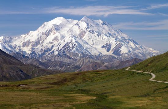
The highest point in the United States is Denali (formerly known as Mount McKinley) in Alaska, which reaches an elevation of 20,310 feet (6,190 metres) above sea level.78
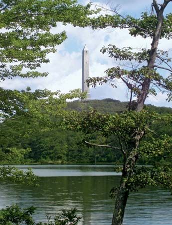
In contrast, other states feature significantly lower high points. For example, High Point is the highest peak in New Jersey, standing at 1,803 feet (550 metres). It is situated on the Kittatinny Mountain ridge, which is part of the Appalachian Mountains and is also traversed by the Appalachian National Scenic Trail.9
The provided information does not contain a comprehensive list of the highest points for every U.S. state.
Sources
- Woodall Mountain — Encyclopædia Britannica
- Battle of Corinth — Encyclopædia Britannica
- Corinth — Encyclopædia Britannica
- Appalachian Mountains - Geology of the Appalachian Mountains — Encyclopædia Britannica
- Mississippi - Land — Encyclopædia Britannica
- Mississippi - Relief and soils — Encyclopædia Britannica
- North America: Top Questions — Encyclopædia Britannica
- Alaska Range: Top Questions — Encyclopædia Britannica
- High Point — Encyclopædia Britannica
Published on · 2 min read