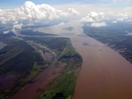
Aguarico River
The Aguarico River is a waterway located in northeastern Ecuador. It originates in the Andes mountains south of Tulcán, near the border with Colombia, and…
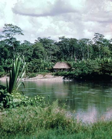
What is Aguarico River?
The Aguarico River is a waterway located in northeastern Ecuador. It originates in the Andes mountains south of Tulcán, near the border with Colombia, and flows east-southeast for about 230 miles (370 km) until it joins the Napo River at Pantoja.1
The name Aguarico is Spanish for “Rich Water.” The river is navigable by smaller boats and holds historical significance regarding regional borders. The Rio de Janeiro Protocol of 1942 established the river’s lower course as part of the boundary between Ecuador and Peru. While Ecuador denounced this protocol in 1960, a final agreement was reached in 1998.1
What is the significance of the Napo River?
The Napo River is a vital waterway in South America, stretching 550 miles (885 km) from its source near Mount Cotopaxi in the Andes of central Ecuador to its confluence with the Amazon River in Peru.23
Its significance is defined by several key factors:
- Exploration History: The river served as a major route for early European exploration of the Amazon basin. It was famously navigated by the Spanish explorer Francisco de Orellana in 1540 and later by the Portuguese explorer Pedro Teixeira in 1638.2
- Transportation: As a navigable waterway, the Napo functions as a critical transportation artery through the dense tropical rain forests of the region.2
- Economic Utility: The river supports local livelihoods and trade. Its banks are used for cattle ranching, and the surrounding forests are sources of valuable natural resources, including rubber, chicle, timber, and furs.2
How do the Andes mountains influence river systems in South America?
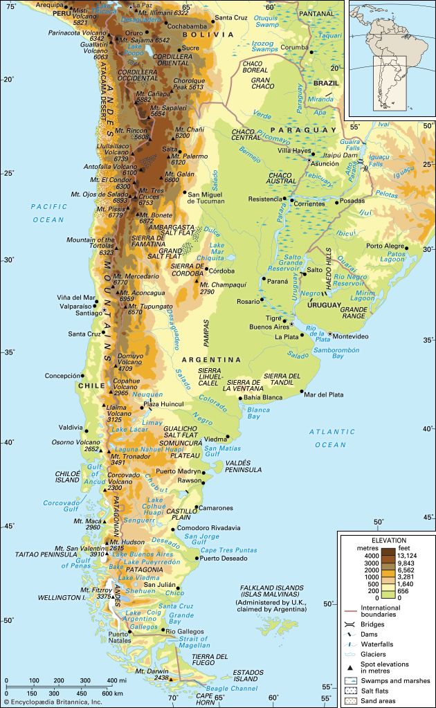
The Andes Mountains serve as the primary hydrographic divide for South America, fundamentally shaping the continent’s drainage patterns. Because the range runs along the western edge of the continent, it creates a physical dissymmetry that dictates the direction and scale of major river systems.4
Influence on Drainage Patterns
- Eastward Flow: The vast majority of South America’s major river basins, including the Amazon, Orinoco, and the Paraguay-Paraná-Uruguay system, lie east of the Andes. These rivers originate in the mountains and flow across the continent to the Atlantic Ocean.4
- Pacific Drainage: Because the Andes are located in close proximity to the Pacific coast, rivers flowing westward are typically short and carry significantly less water compared to their Atlantic-bound counterparts.4
- Source of Water: Many of the continent’s largest rivers, such as the Amazon, have their headwaters high in the Andes. Seasonal snow and ice melt from these peaks are critical for maintaining the volume of rivers in arid regions, such as those crossing Patagonia.456
The mountains also contribute to the geological composition of these systems, as outwash from the Andes has historically covered and shaped the surfaces of the vast basins to the east.7
What is the history of the Ecuador-Peru border disputes?
The territorial dispute between Ecuador and Peru centered on the Oriente region, an Amazonian territory that Ecuador claimed but never effectively controlled. Tensions escalated in July 1941 when the Peruvian army invaded and occupied the disputed area, easily defeating Ecuador’s poorly equipped forces.111213
To maintain Allied unity during World War II, major powers pressured both nations to reach a settlement. This resulted in the Protocol of Rio de Janeiro in 1942, which forced Ecuador to relinquish approximately 77,000 square miles of territory to Peru.1112
The conflict remained a source of national instability for decades. In 1960, Ecuadorian President José María Velasco Ibarra repudiated the treaty, arguing that it failed to establish precise borders. This stance fueled ongoing irredentism, which was frequently exploited by political figures to distract from internal issues. The dispute was not definitively resolved until a new agreement was signed in 1998.111213
Sources
- Aguarico River — Encyclopædia Britannica
- Napo River — Encyclopædia Britannica
- Napo — Merriam-Webster
- South America - Rivers of South America — Encyclopædia Britannica
- Andes Mountains: Top Questions — Encyclopædia Britannica
- Continental Divide — Encyclopædia Britannica
- Amazon River - Landforms and drainage patterns — Encyclopædia Britannica
- Amazon River — Encyclopædia Britannica
- river - Environments of deposition — Encyclopædia Britannica
- Argentina - Drainage — Encyclopædia Britannica
- Protocol of Rio de Janeiro — Encyclopædia Britannica
- Ecuador - Economic development and loss of territory in the 1940s — Encyclopædia Britannica
- history of Ecuador - Economic development and loss of territory in the 1940s — Encyclopædia Britannica
Published on · 3 min read