Alabama River
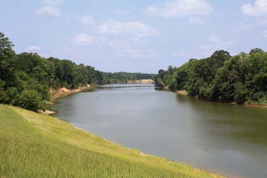
The Alabama River is a significant waterway in the southern United States, located in the state of Alabama. It is formed by the confluence of the Coosa and…
What is Alabama River?
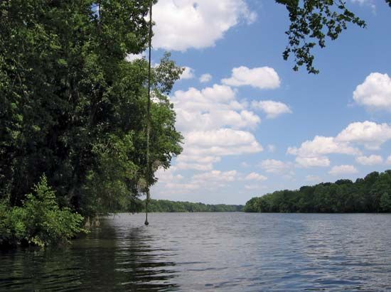
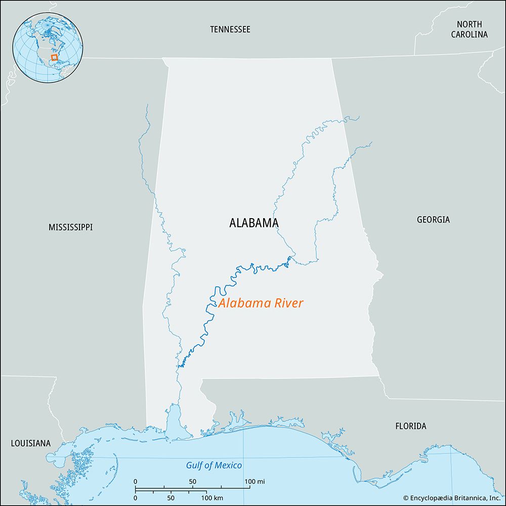
The Alabama River is a significant waterway in the southern United States, located in the state of Alabama. It is formed by the confluence of the Coosa and Tallapoosa rivers near Montgomery.
The river flows westward to Selma before turning southward. It has a navigable length of 305 miles (491 km) and drains an area of 22,800 square miles (59,050 square km). Its primary tributary is the Cahaba River. Near Mobile, the Alabama River joins the Tombigbee River to form the Mobile and Tensaw rivers, which eventually empty into Mobile Bay and the Gulf of Mexico.
Historically, the river served as a vital traffic artery that facilitated the growth of major cities like Montgomery and Mobile. Today, the Coosa-Alabama river system remains a key factor in the state’s economic development through its use of locks and dams.1
How do locks and dams help with river navigation?
Locks and dams are essential engineering components used to regulate rivers, making them navigable for vessels by managing changes in water levels and topography.56
The Role of Locks
A lock is an enclosure or basin with gates at each end that allows boats to move between different water levels. The process works as follows:7
- Raising a vessel: The lock chamber is filled with water until it matches the level of the upper pound (the higher section of the river). The upstream gates are then opened to allow the vessel to pass.78
- Lowering a vessel: The vessel enters the lock, the upstream gates are closed, and water is drained until the chamber level matches the lower pound. The downstream gates are then opened for the vessel to exit.78
The Role of Dams and Canalization
Dams often work in conjunction with locks to create “canalized rivers.” By constructing impounding barriers, engineers create a series of level steps along a river’s natural gradient. These barriers help stabilize the river’s course, mitigate the effects of seasonal floods or droughts, and maintain a channel of uniform depth suitable for shipping. In many modern systems, these dams also serve the dual purpose of generating hydroelectric power.865
What is the significance of Mobile Bay to Alabama’s economy?
Mobile Bay is of critical importance to Alabama’s economy, primarily by serving as the state’s only seaport and a vital hub for international and domestic commerce.1112
The bay’s significance is rooted in its role as the terminus for Alabama’s extensive navigable river systems. By connecting to the Mobile River, the Black Warrior–Tombigbee system, and the Tennessee-Tombigbee Waterway, the bay allows inland goods—such as coal, lumber, and agricultural products—to be transported efficiently to global markets. The maintenance of a deep-water ship channel is a cornerstone of this commercial success, enabling the port of Mobile to function as one of the nation’s top seaports.11212
Beyond traditional shipping, the bay supports a diverse industrial base. The region is a center for shipbuilding and repair, and the extraction of natural gas and oil from the Gulf of Mexico has become a major economic driver. Additionally, the bay facilitates connectivity via the Intracoastal Waterway, further integrating Alabama into the broader Gulf Coast economy.112
How does the Tennessee-Tombigbee Waterway connect different river systems?
The Tennessee-Tombigbee Waterway functions as a vital 234-mile link that connects the Tennessee River in northeastern Mississippi to the Tombigbee River in western Alabama. By utilizing a series of locks and canals, the system creates a navigable path that allows barge traffic to travel south from the Tennessee River to the lower Tombigbee, eventually providing access to the Gulf of Mexico at Mobile Bay.13
This connection serves as an alternative, shorter route to the Gulf compared to the Mississippi River, facilitating the transport of Appalachian coal and agricultural products. Furthermore, the waterway integrates with the broader Gulf Intracoastal Waterway, which connects various inland river systems and ports across the Gulf Coast, supporting extensive commercial activity throughout the region.1314
Sources
- Alabama River — Encyclopædia Britannica
- Alabama - Transportation — Encyclopædia Britannica
- Black Warrior River — Encyclopædia Britannica
- Alabama - European rivalry, settlement, and growth — Encyclopædia Britannica
- lock — Encyclopædia Britannica
- dam - Fish passes — Encyclopædia Britannica
- canals and inland waterways — Encyclopædia Britannica
- canals and inland waterways - Economic significance — Encyclopædia Britannica
- canals and inland waterways - Locks — Encyclopædia Britannica
- canals and inland waterways - Characteristics of basic types — Encyclopædia Britannica
- Mobile — Encyclopædia Britannica
- Mobile Bay — Encyclopædia Britannica
- Tennessee-Tombigbee Waterway — Encyclopædia Britannica
- Intracoastal Waterway — Encyclopædia Britannica
Published on · 3 min read