Alexander Island
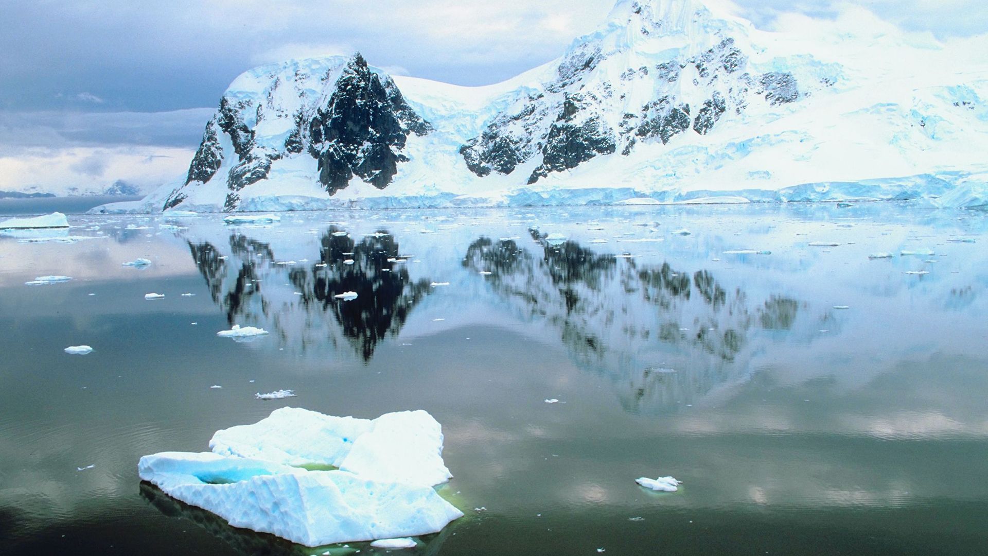
Alexander Island is a large, rugged island located in the Bellingshausen Sea. It is separated from the Antarctica mainland by the George VI Sound. Spanning…
What is Alexander Island?
Alexander Island is a large, rugged island located in the Bellingshausen Sea. It is separated from the Antarctica mainland by the George VI Sound. Spanning approximately 16,700 square miles, the island features mountainous terrain with peaks reaching up to 9,800 feet above sea level.1
Discovered in 1821 by Russian explorers, the land was initially thought to be part of the mainland. It was not until 1940 that a U.S. expedition confirmed its status as an island, noting that it is connected to the continent by a floating ice shelf. The territory is currently subject to overlapping claims by Britain, Chile, and Argentina, and it has served as a location for British scientific research.1
What is an ice shelf and how does it form?
An ice shelf is a thick, floating mass of ice that remains attached to land. These structures are formed and fed by tongues of glaciers that extend outward from the land into sheltered coastal waters.23
Formation and Stability
The formation of an ice shelf is driven by glacial pressure, which pushes the ice forward until its growth is eventually terminated by sea currents. In areas lacking strong currents, the ice may become partially grounded on the sea bottom, attaching itself to rocks and islands. Once formed, an ice shelf is built up through the accretion of snowfall and can remain relatively stable for millions of years.2
These shelves act as natural dams, slowing the flow of ice from the land into the sea. Their mass balance is maintained by a combination of gains from snowfall and losses from melting at the bottom of the shelf or the calving of icebergs from their edges. While calving is a natural process influenced by temperature changes and internal stress, some scientists monitor these events as potential indicators of climate change6.34
Who were the explorers Bellingshausen and Lazarev?
Fabian Gottlieb von Bellingshausen and Mikhail Lazarev were prominent explorers in the Imperial Russian Navy who led a significant expedition to the Antarctic region between 1819 and 1821.78
- Fabian Gottlieb von Bellingshausen: A Baltic German officer, he commanded the expedition aboard the sloop Vostok. He is credited with leading the second expedition to circumnavigate Antarctica and was one of the first individuals to sight the continent in 1820. The Bellingshausen Sea is named in his honor.71
- Mikhail Lazarev: Serving alongside Bellingshausen, Lazarev commanded the Mirny, the second sloop of the expedition. Together, the two explorers discovered Peter I Island and Alexander Island in 1821, which were the first sightings of land within the Antarctic Circle.78
Although they initially believed their discoveries were part of the Antarctic mainland, their voyage provided foundational geographical data for the region. Bellingshausen later rose to the rank of admiral and served as the governor of Kronshtadt.78
How do scientists conduct research in Antarctica?
Scientists conduct research in Antarctica through a combination of permanent, internationally operated stations and specialized field expeditions. These facilities serve as hubs for diverse scientific disciplines, including atmospheric science, environmental science, and astrophysics.9
Research Infrastructure
- Permanent Stations: Facilities like McMurdo Station provide the logistics, housing, and power necessary to support year-round research. These stations manage their own resources, including desalination for water and wastewater treatment to minimize environmental impact.9
- Technological Tools: Researchers utilize advanced technology to overcome the continent’s extreme conditions. This includes satellite imagery for weather prediction and climate monitoring, as well as specialized equipment like the Antarctic Muon and Neutrino Detector Array, which uses the deep ice sheet as a cosmic particle detector.1011
- Field Expeditions: Since the early 20th century, exploration has relied on aerial photography, ski-planes, and specialized motor transport to reach the interior. Modern programs continue to use these methods to access remote areas for geological and glaciological studies.12
Sources
- Alexander Island — Encyclopædia Britannica
- ice shelf — Encyclopædia Britannica
- iceberg — Encyclopædia Britannica
- iceberg - Impacts on ice sheets and sea level — Encyclopædia Britannica
- iceberg - Iceberg size and shape — Encyclopædia Britannica
- A Trillion Tonnes of Antarctica Fell into the Sea — Encyclopædia Britannica
- Fabian Gottlieb von Bellingshausen — Encyclopædia Britannica
- Antarctica - History of Antarctica — Encyclopædia Britannica
- Antarctica - Climate of Antarctica — Encyclopædia Britannica
- Antarctica - The surrounding seas — Encyclopædia Britannica
- McMurdo Station — Encyclopædia Britannica
- Antarctica - Technological advancements in exploration — Encyclopædia Britannica
Published on · 3 min read