Altai Mountains
The Altai Mountains serve as a vital hydrological hub for Central Asia, characterized by a dense network of turbulent, rapid rivers. These waterways are…
What role do the Altai Mountains play in Central Asian water resources and river systems?
The Altai Mountains serve as a vital hydrological hub for Central Asia, characterized by a dense network of turbulent, rapid rivers. These waterways are primarily fed by melting snow and summer rains, which frequently cause significant spring and summer flooding.1
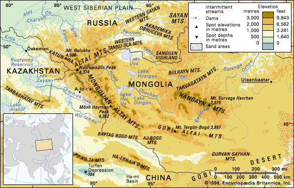
The system acts as a major source for several significant river basins. Key rivers, such as the Katun, Biya, and Bukhtarma, function as major tributaries to the Ob River, which flows toward the West Siberian Plain. In contrast, the rivers of the Gobi Altai are generally shorter and shallower, often drying up during the summer months and freezing in winter.12
Beyond its river systems, the region contains more than 3,500 lakes, most of which are of glacial or structural origin. While many are freshwater, the lakes found within the Gobi Altai are frequently saline.1
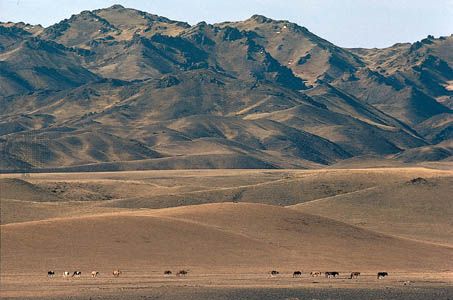
What is the geological history of the Altai Mountains, and how were they formed?
The geological history of the Altai Mountains is defined by a complex, multi-stage process of mountain building (orogeny) and tectonic accretion.
Paleozoic Formation
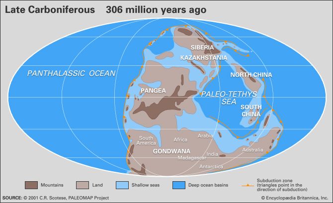
The foundation of the Altai was established during the Paleozoic Era as part of the Altaid tectonic collage. This region accreted around the Angaran platform through the collision of various island arcs and microcontinents. During the early Paleozoic, subduction processes accumulated a massive accretionary prism—a wedge of deformed sediments, deep-sea muds, and oceanic crust fragments—which now forms the basement of much of the range.
The development culminated in the middle Carboniferous Period (about 320 million years ago) when the Kazakhstan continental block collided with the Angaran nucleus. This period of intense tectonic activity, occurring between 500 and 300 million years ago, created the original mountain structures. Over subsequent geological time, these mountains were eroded into a peneplain, a gently undulating plateau.
Quaternary Upheaval
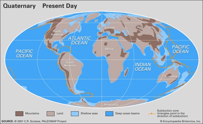
Beginning in the Quaternary Period (within the last 2.6 million years), the region experienced new tectonic upheavals that thrust up the current high peaks. This period also saw extensive glaciation, which scoured the landscape and carved the mountains into their present rugged, U-shaped valleys. Today, the region remains geologically active, with earthquakes occurring along fault zones in the Earth’s crust.
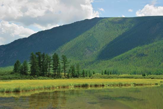
What are some of the major peaks and unique geographical features of the Altai Mountains?
The Altai Mountains are a complex, jagged system spanning 1,200 miles across Central Asia. Their geography is defined by dramatic elevation changes and a history of intense tectonic and glacial activity.
Major Peaks
- Mount Belukha: The highest point in the entire system, reaching 14,783 feet (4,506 meters). It features twin peaks and extensive glacial coverage.23
- High Ridges: The Katun, North (Severo) Chu, and South (Yuzhno) Chu ranges in the Altai proper feature peaks exceeding 13,000 feet (4,000 meters).7
- Mongolian Altai: Notable peaks include the Tabyn-Bogdo-Ola (Tavan Bogd Uul) and Mőnh Hayrhan Uul, which are generally lower than those in the Altai proper.7
Unique Geographical Features
- Structural Hollows: The mountains are separated by deep basins, such as the Chu, Kuray, Uymon, and Kansk, which contain steppe landscapes.7
- Glacial Landscapes: Quaternary glaciation carved the mountains into rugged, U-shaped valleys, contrasting with the region’s naturally occurring, gorge-like valleys.7
- Hydrological Diversity: The system contains over 3,500 lakes of glacial or structural origin, ranging from freshwater bodies to the saline lakes of the Gobi Altai.21
Where are the Altai Mountains located, and which countries do they span?
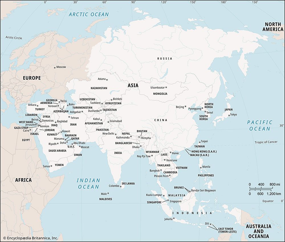
The Altai Mountains are a vast mountain system located in Central Asia. They extend approximately 1,200 miles (2,000 km) in a southeast-northwest direction, stretching from the Gobi Desert to the West Siberian Plain.2
The range spans four countries:
- Russia: The Altai proper are located primarily within the Altay republic.28
- Kazakhstan: The system extends into the extreme eastern part of the country.28
- China: The mountains reach into the northern tip of the Xinjiang region and form part of the border with Mongolia.28
- Mongolia: The Mongolian Altai and Gobi Altai dominate large portions of the country, extending toward the southeast.28
The name “Altai” is derived from the Turkic-Mongolian word altan, which translates to “golden”.2
Sources
- Altai Mountains - Drainage — Encyclopædia Britannica
- Altai Mountains — Encyclopædia Britannica
- Altai Mountains - Geology — Encyclopædia Britannica
- Asia - Paleozoic events in the Altaids — Encyclopædia Britannica
- Altai Mountains - Study and exploration — Encyclopædia Britannica
- mountain - The Himalayan chain — Encyclopædia Britannica
- Mount Belukha — Encyclopædia Britannica
- Altai Mountains - Physiography — Encyclopædia Britannica
Published on · 3 min read