American Highland
The term "American Highland" does not refer to a region in the United States, as one might assume from the name. Instead, it is an interior plateau region…
What is American Highland?
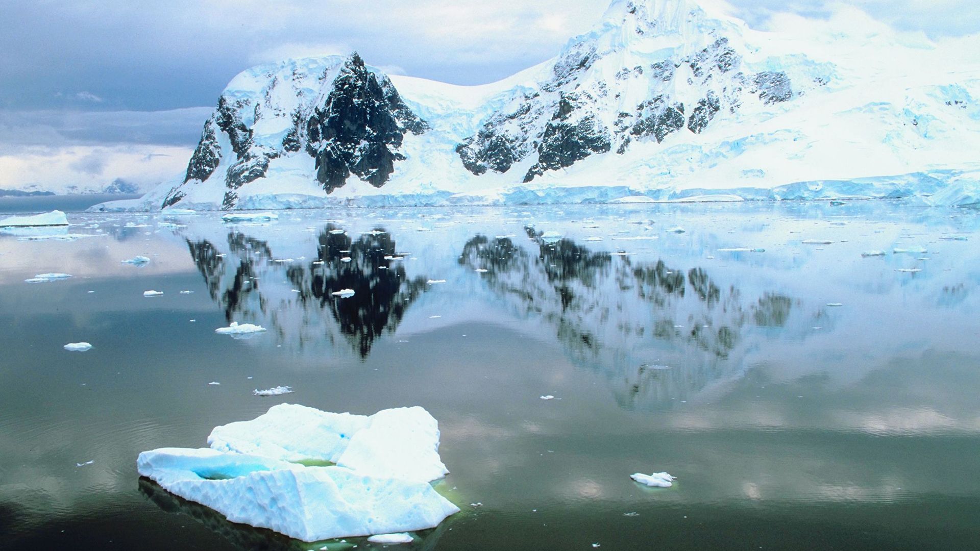
The term “American Highland” does not refer to a region in the United States, as one might assume from the name. Instead, it is an interior plateau region located in eastern Antarctica.1
This ice-capped upland stretches from Enderby Land in the west to Wilkes Land in the east, situated inland from the Amery Ice Shelf. Averaging between 7,000 and 10,000 feet (2,000–3,000 meters) above sea level, the area was discovered and named in 1939 by the American explorer Lincoln Ellsworth. It serves as the central portion of a large territory in eastern Antarctica that is claimed by Australia.1
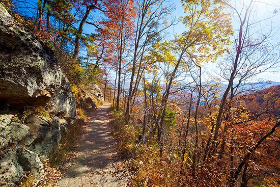
If you were looking for high-elevation regions within the United States, you may be thinking of the Appalachian Highlands, which encompass the Blue Ridge, Piedmont, and Appalachian Plateau regions.2
Who was Lincoln Ellsworth and what were his major expeditions?
Lincoln Ellsworth (1880–1951) was a prominent American explorer, engineer, and scientist renowned for his pioneering work in polar aviation. A wealthy adventurer, he served as an aviator during World War I and later applied his expertise to topographic surveys and polar exploration.5
Major Expeditions
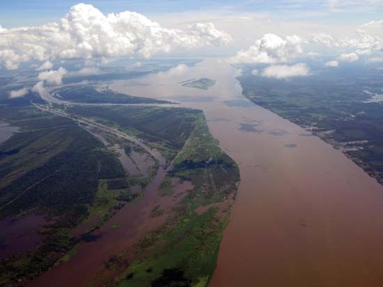
- Trans-Andean Survey (1924): Ellsworth led a Johns Hopkins University expedition that surveyed terrain from the Amazon River basin across the Andes Mountains to the Pacific Ocean.5
- Arctic Exploration with Roald Amundsen:
- 1925: Ellsworth financed and joined an expedition to reach the North Pole via amphibian planes. After an emergency landing on the ice pack, the team spent 30 days carving a runway to return to Svalbard.5
- 1926: Alongside Roald Amundsen and Umberto Nobile, he completed the first trans-Arctic flight in the dirigible Norge, traveling 3,393 miles from Spitsbergen to Alaska.53
- Antarctic Expeditions:
- 1935: Ellsworth and pilot Herbert Hollick-Kenyon completed the first trans-Antarctic flight, traveling from the Antarctic Peninsula to Little America. Despite running out of fuel and finishing the journey on foot, the expedition successfully mapped regions now known as Ellsworth Land and Marie Byrd Land.5
- 1939: During another flight over Antarctica, he discovered and named the American Highland.56
What makes the geography of Antarctica unique compared to other continents?
Antarctica is distinct from all other continents due to its extreme physical conditions, isolation, and unique political status. It is the world’s southernmost, coldest, windiest, driest, and iciest continent. Additionally, it holds the title of the highest continent, with an average elevation of approximately 7,200 feet (2,200 meters) above sea level, largely due to the massive ice sheets that cover it.789
Several key factors define its unique geography:
- Climatic Extremes: Antarctica is a polar desert, with very low precipitation and temperatures that have reached the lowest levels ever recorded on Earth. Unlike the Arctic, which is an ocean surrounded by land, Antarctica is a landmass surrounded by the Southern Ocean, which prevents the moderating influence of warmer waters.78
- Geologic Isolation: Antarctica was once part of the supercontinent Gondwana but became isolated millions of years ago as tectonic plates shifted. This long-term isolation has resulted in highly endemic marine life, with approximately 90 percent of bottom-dwelling fish species found nowhere else.1011
- Political Status: Under the Antarctic Treaty, the continent is reserved exclusively for peaceful purposes and scientific research. It is the world’s first nuclear-weapon-free zone and prohibits new territorial claims, fostering international cooperation rather than exploitation.12
How do scientists study the ice-covered plateaus of Antarctica?
Scientists study the ice-covered plateaus of Antarctica using a variety of advanced technological and analytical methods to understand the continent’s history and its role in global climate systems.
Key Research Methods
- Ice Core Analysis: Researchers extract ice cores from the massive ice sheets. By analyzing the isotopic composition of the ice and examining trapped air bubbles, scientists can reconstruct past temperature variations and atmospheric conditions, such as historical carbon dioxide levels.14
- Remote Sensing and Mapping: Modern programs utilize satellite imagery for synoptic studies of ice-pack regimens and climate change. Additionally, airborne radio-echo sounding allows for the routine mapping of the continent’s ice-covered bedrock surface, replacing the need for laborious seismic surveys.1516
- Astrophysical and Geophysical Observatories: The high polar plateau provides a unique environment for research. Facilities like the Antarctic Muon and Neutrino Detector Array (AMANDA) use the deep, pure ice as a medium to detect high-energy [neutrinos]. Furthermore, automatic geophysical observatories record data on the ionosphere and magnetosphere, which are critical for understanding Earth’s response to solar activity.17
- International Cooperation: Much of this research is coordinated by the Scientific Committee on Antarctic Research (SCAR), which facilitates large-scale projects and interdisciplinary studies across the continent.16
Sources
- Appalachian Highlands — Encyclopædia Britannica
- United States - Relief — Encyclopædia Britannica
- American Highland — Encyclopædia Britannica
- highlands — Merriam-Webster
- Lincoln Ellsworth — Encyclopædia Britannica
- What were the circumstances that surrounded Roald Amundsen’s death? — Encyclopædia Britannica
- Antarctica: Top Questions — Encyclopædia Britannica
- Antarctica - The Antarctic Treaty — Encyclopædia Britannica
- Antarctica - Antarctica and continental drift — Encyclopædia Britannica
- Antarctica - Sea life — Encyclopædia Britannica
- Antarctica - Relief — Encyclopædia Britannica
- iceberg - Impacts on ice sheets and sea level — Encyclopædia Britannica
- Antarctica - Climate of Antarctica — Encyclopædia Britannica
- Pleistocene Epoch - Ice-core records — Encyclopædia Britannica
- Antarctica - The surrounding seas — Encyclopædia Britannica
- sea ice - Pack ice drift and thickness — Encyclopædia Britannica
- Antarctica - Technological advancements in exploration — Encyclopædia Britannica
- Antarctica - Post-IGY research — Encyclopædia Britannica
Published on · 3 min read