Azov Upland
The Azov Upland is a hilly region located in southeastern Ukraine. As part of the Ukrainian Crystalline Shield, this area consists of denuded mountains that…
What is Azov Upland?
The Azov Upland is a hilly region located in southeastern Ukraine. As part of the Ukrainian Crystalline Shield, this area consists of denuded mountains that stretch 100 miles (160 km) from the Dnieper River toward the Donets Ridge, eventually sloping southeastward to the Sea of Azov.1
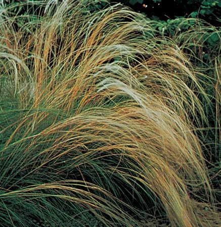
The region’s highest point is Mount Mohyla-Belmak, which reaches an elevation of 1,063 feet (324 m). The landscape is characterized by extensively cultivated chernozem soil, with vegetation such as sheep fescue and feather grass appearing on the mountain slopes. Additionally, the upland serves as the source for several rivers, including the Berda, Molochna, and Obytichna.1
What is the Ukrainian Crystalline Shield?
The Ukrainian Crystalline Shield is a major geological structure that serves as the foundation for much of the region’s landscape, including the Azov Upland. It is a massive formation of ancient, stable rock that underlies significant portions of Ukraine.
Geologically, this shield is composed of crystalline basement rocks that have been exposed or brought near the surface through processes like erosion. These formations are integral to the topography of the area, influencing the development of features such as the denuded mountains found in the southeastern part of the country.
Why is chernozem soil important for agriculture?
Chernozem, often referred to as “black earth,” is highly valued in agriculture due to its exceptional fertility and physical structure. These humus-rich grassland soils are characterized by a deep surface layer that contains significant amounts of organic matter—sometimes reaching up to 16 percent by mass—and available calcium ions.2
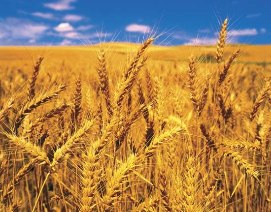
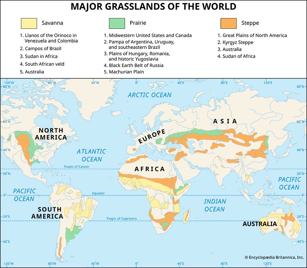
This composition results in a well-aggregated soil structure that is ideal for growing cereals and supporting livestock production. Because of their inherent fertility and ability to store nutrients and water, these soils are particularly well-adapted to the cultivation of crops such as wheat and corn. Found in prairie, pampa, and steppe environments, chernozems are closely related to the Mollisol soil order, which is recognized globally for its high agricultural productivity.23
What are the unique characteristics of the Sea of Azov?
The Sea of Azov is a unique inland sea located between Ukraine and Russia, connected to the Black Sea via the Kerch Strait. Its most notable characteristics include:
- Extreme Shallowness: With a maximum depth of only about 46 feet (14 meters), it is recognized as the world’s shallowest sea. In the Taganrog Gulf, depths can be as low as 3 feet (1 meter) due to heavy silt deposits from the Don and Kuban rivers.6
- Low Salinity: The significant influx of river water keeps the sea’s salinity levels low, with waters becoming nearly fresh in the northeast.6
- Rich Biodiversity: The sea’s shallow nature, combined with excellent water mixing and nutrient-rich river inputs, supports a diverse ecosystem, including over 300 species of invertebrates and approximately 80 species of fish, such as sturgeon, herring, and anchovies.6
- Distinct Geography: The coastline features long sandspits, such as the 70-mile-long Arabat Spit, which separates the sea from the highly saline Syvash marshy inlets.6
Sources
- Azov Upland — Encyclopædia Britannica
- Chernozem — Encyclopædia Britannica
- Vegetable farming - Site — Encyclopædia Britannica
- South Dakota - Soils — Encyclopædia Britannica
- Fertilizer - Farm manure — Encyclopædia Britannica
- Sea of Azov — Encyclopædia Britannica
Published on · 2 min read