Bantry Bay
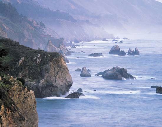
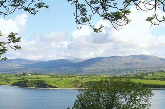
Bantry Bay is a long inlet of the Atlantic Ocean located in southwestern County Cork, Ireland. Stretching 30 miles (48 km) in length and 10 miles (16 km) at…
What is Bantry Bay?
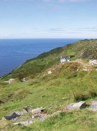
Bantry Bay is a long inlet of the Atlantic Ocean located in southwestern County Cork, Ireland. Stretching 30 miles (48 km) in length and 10 miles (16 km) at its widest, the bay is framed by the Beara and Sheep’s Head peninsulas and surrounded by mountains.12
Historically, the bay served as a site for attempted French invasions of Ireland in 1689 and 1796. Near the head of the bay lies the town of Bantry, while Whiddy Island features remnants of a 19th-century British naval station and a significant oil tanker terminal that has operated intermittently since the late 20th century.1
What is the significance of the Beara and Sheep’s Head peninsulas?
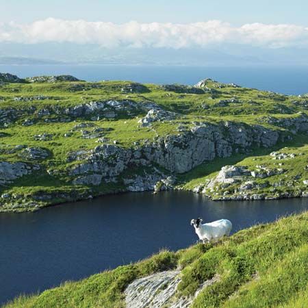
The Beara and Sheep’s Head peninsulas are significant primarily for their role as the defining geographical features that frame Bantry Bay in southwestern County Cork, Ireland.
The Beara peninsula lies to the north of the bay, while the Sheep’s Head peninsula sits to the south. Together, these landforms create the natural boundaries of the long inlet, which extends 30 miles into the Atlantic Ocean. Beyond their physical geography, these peninsulas contribute to the rugged, mountainous landscape that characterizes this region of Ireland.1
Why did French fleets attempt to invade Ireland through Bantry Bay?
French fleets targeted Bantry Bay as a strategic entry point for invading Ireland during two distinct historical conflicts:
- The Nine Years’ War (1689): During this conflict, the French navy supported the deposed Catholic King James II in his efforts to reclaim the throne from William III. The French fleet entered the bay to provide military assistance to the Jacobite forces, who were consolidating power in Ireland against Williamite opposition.345
- The Irish Rebellion (1796): A large French expedition, commanded by Gen. Lazare Hoche and accompanied by the Irish radical Theobold Wolfe Tone, sailed for Ireland to support the Society of United Irishmen. The society sought to eliminate British rule and establish parliamentary reform. Although some ships reached Bantry Bay, severe storms scattered the fleet, preventing the landing of troops and the intended uprising.15
What is the history of Whiddy Island?
Whiddy Island is located in Bantry Bay, County Cork, Ireland, situated approximately 2 miles west of Bantry. The island features several historical sites, including the ruins of a castle, the remains of Kilmore Church, and three 19th-century redoubts that once served a British naval station.6
In the modern era, the island became a significant site for the energy industry. In 1968, an international oil corporation established a crude-oil terminal on the western side of the island, designed to accommodate massive 300,000-ton tankers.6
The island’s history was marked by a major tragedy in 1979 when the tanker Betelgeuse caught fire and exploded at the oil jetty. The disaster resulted in the sinking of the vessel and the deaths of more than 50 men. Following this event, the terminal ceased operations for nearly two decades before finally reopening in the late 1990s.6
Sources
- Bantry Bay — Encyclopædia Britannica
- Bantry Bay — Merriam-Webster
- Battle of Beachy Head — Encyclopædia Britannica
- Irish Rebellion — Encyclopædia Britannica
- Battle of the Boyne - Background — Encyclopædia Britannica
- Whiddy Island — Encyclopædia Britannica
Published on · 2 min read