Barents Sea
The Barents Sea is a relatively shallow body of water, with an average depth of 750 feet (229 metres) and a maximum depth of 2,000 feet (600 metres) located…
How deep is the Barents Sea, and how does its depth compare to other Arctic seas?
The Barents Sea is a relatively shallow body of water, with an average depth of 750 feet (229 metres) and a maximum depth of 2,000 feet (600 metres) located in the Bear Island Trench.1
When compared to other marginal seas of the Arctic Ocean, the Barents Sea is part of a broad continental shelf that characterizes the Eurasian sector. Its depth profile is similar to that of the Kara Sea, which has an average depth of 417 feet (127 metres) and a maximum depth of 2,034 feet (620 metres). In contrast, the Laptev Sea is significantly deeper, with an average depth of 1,896 feet (578 metres) and a maximum depth reaching 9,774 feet (2,980 metres). Overall, the Arctic Ocean itself has an average depth of 3,240 feet (987 metres), making the Barents Sea shallower than the ocean’s average.12345
How do ocean currents, like the North Atlantic Drift, impact the Barents Sea?
Ocean currents play a vital role in shaping the environment of the Barents Sea. The sea is significantly influenced by the Norway Current, which is a continuation of the North Atlantic Current—often referred to as the North Atlantic Drift—and the Gulf Stream system.64
The North Cape Current and the Spitsbergen branch of the Norway Current transport warm, saline Atlantic waters into the Barents Sea. This influx has several critical impacts:78
- Climate Moderation: The heat carried by these currents results in more temperate winters and higher-than-average precipitation in the region compared to other Arctic areas.76
- Ice Conditions: Although the Barents Sea is located in the Arctic, the warmth from these currents prevents ice from lingering, keeping ports such as Murmansk ice-free throughout the year.8
- Biological Productivity: The thermal mixing of these Atlantic waters with colder Arctic waters creates nutrient-rich conditions that support flourishing fishing grounds, sustaining diverse marine life including cod, herring, and various sea mammals.68
As these currents mix with colder waters, they lose heat, which contributes to the complex circulation patterns of the Eurasian shelf seas.18
What are the main characteristics of the Barents Sea’s climate and ecosystem?
The Barents Sea features a subarctic climate and a highly productive ecosystem, both of which are significantly influenced by the influx of warm Atlantic waters.1
Climate Characteristics
The region experiences a subarctic climate with distinct seasonal variations. Winter air temperatures average -13 °F (-25 °C) in the north and 23 °F (-5 °C) in the southwest, while summer averages range from 32 °F (0 °C) to 50 °F (10 °C). The area is characterized by an unstable climate with frequent storms, partly due to the interaction between warm currents and colder Arctic waters, which also results in above-average precipitation for the region. Although ice forms during the winter, it is typically thin, and the influence of warm currents keeps several ports, such as Murmansk, ice-free year-round.18
Ecosystem and Biodiversity
The Barents Sea is a highly productive marine environment, supported by the thermal mixing of Atlantic and Arctic waters.17
- Marine Life: The sea is a major fishing ground, supporting populations of cod, herring, salmon, plaice, and catfish. These are sustained by a food web beginning with phytoplankton, which feeds invertebrates, crustaceans, bivalves, and sponges.1
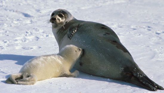
- Wildlife: The region hosts various sea mammals, including seals and whales, as well as land mammals like polar bears and Arctic foxes. Birdlife includes gulls, ducks, and geese.1
- Flora: Underwater vegetation is rich in the shallow southern regions, featuring widespread brown, red, and green algae. Coastal areas are primarily rocky, with some coverage of shrubs, mosses, and lichens.1
Where is the Barents Sea located, and what are its geographical boundaries?
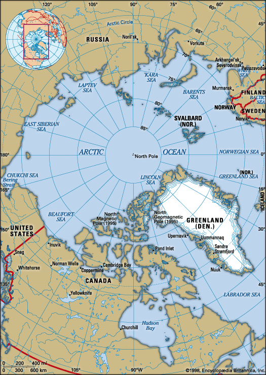
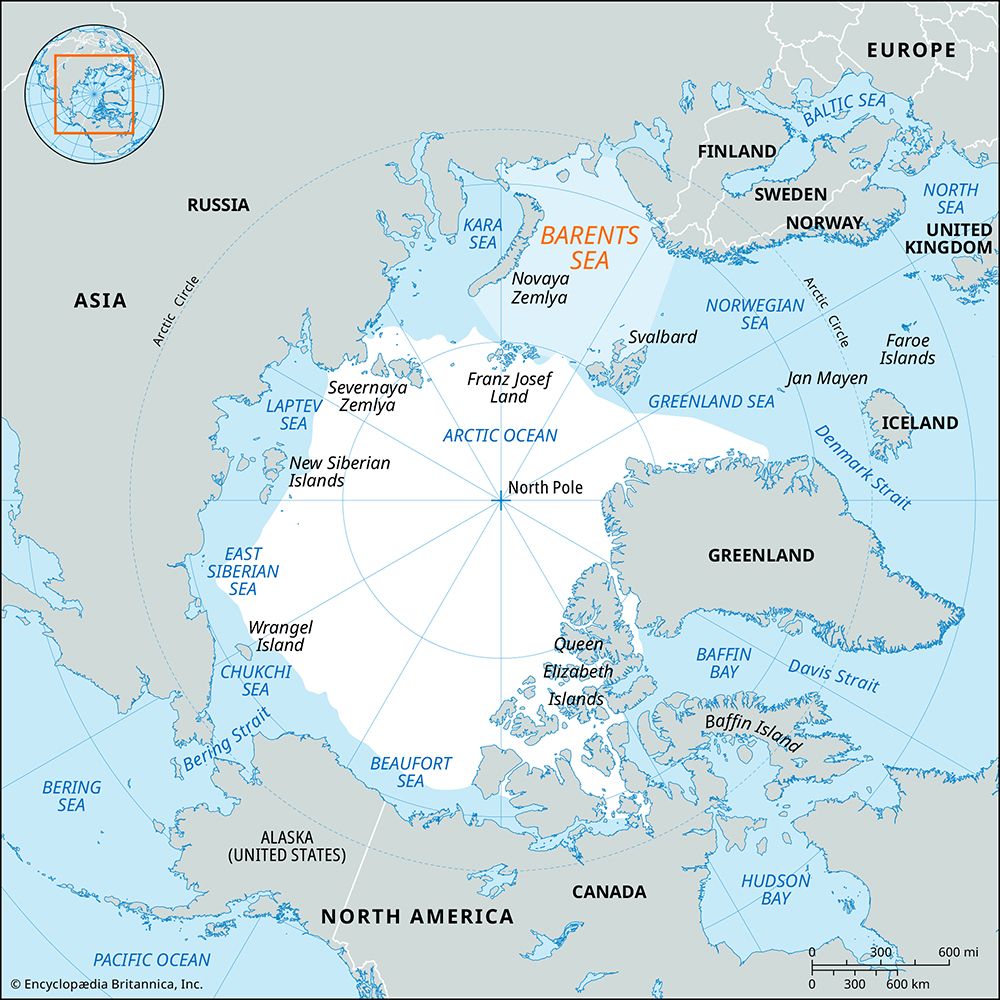
The Barents Sea is an outlying portion of the Arctic Ocean located on the continental shelf that fringes the Eurasian landmass. It spans approximately 800 miles (1,300 km) in length and 650 miles (1,050 km) in width, covering an area of 542,000 square miles (1,405,000 square km).1
Its geographical boundaries are defined as follows:
- North: The archipelagoes of Svalbard and Franz Josef Land.1
- South: The mainland coasts of Norway and Russia.1
- East: The Novaya Zemlya archipelago.1
- West: A conventional border with the Greenland Sea, which extends from Spitsbergen to the North Cape of Norway via Bear Island (Bjørnøya).1
The sea floor is relatively shallow, featuring a series of trenches and elevations, including the major Bear Island Trench that cuts across the region from east to west.1
Sources
- Barents Sea — Encyclopædia Britannica
- Arctic Ocean — Encyclopædia Britannica
- Kara Sea — Encyclopædia Britannica
- Arctic Ocean - Oceanography — Encyclopædia Britannica
- Laptev Sea — Encyclopædia Britannica
- Bering Sea and Strait - Hydrology — Encyclopædia Britannica
- North Cape Current — Encyclopædia Britannica
- Norway Current — Encyclopædia Britannica
- Climate - Thermohaline circulation — Encyclopædia Britannica
- Arctic - Climate of the Arctic — Encyclopædia Britannica
- Norwegian Sea — Encyclopædia Britannica
Published on · 3 min read