Big Stone Lake
Big Stone Lake is a 26-mile-long body of water situated on the border between Minnesota and South Dakota. It serves as the source of the Minnesota River and…
What is Big Stone Lake?
Big Stone Lake is a 26-mile-long body of water situated on the border between Minnesota and South Dakota. It serves as the source of the Minnesota River and occupies a narrow spillway that was once part of the southern outlet of the prehistoric Lake Agassiz1.
The lake, which derives its name from local red granite outcrops, covers approximately 17 square miles. At an elevation of 962 feet, it marks the lowest point in South Dakota. Today, the lake functions as a reservoir regulated by a dam near Ortonville, Minnesota; this system is essential for managing spring floodwaters that could otherwise threaten the Minnesota River valley.1
What was Lake Agassiz and how did it form?
Lake Agassiz was the largest of the ice-margin lakes that existed during the Pleistocene Epoch, specifically during the final two phases of the Wisconsin glacial age.3
Formation and Drainage
The lake formed when the Laurentide Ice Sheet obstructed the natural northward drainage of the northern Great Plains toward Hudson Bay. This blockage caused the waters of the Saskatchewan River and other waterways to back up, creating a massive lake measuring approximately 1,100 km long and 300 km wide.3
Depending on its water level, the lake drained through various outlets, including a southern channel that flowed into the Mississippi River via the Minnesota River. As the ice sheet retreated, a northern channel—now the Nelson River—eventually drained the lake into Hudson Bay.31
Legacy
The lake left behind significant geological markers, including the fertile silt deposits found in the valleys of the Red River of the North and Souris River. Modern remnants of the lake include Lake Winnipeg, Lake Winnipegosis, Lake Manitoba, and Lake of the Woods.3
How do dams help control river flooding?
Dams help control river flooding primarily by creating reservoirs that impound water during periods of excess flow. By collecting and storing high volumes of water, these structures prevent flood disasters and allow for the gradual, controlled release of water during periods of lower flow.4
Key mechanisms for flood control include:
- Lag Effect: As a flood passes through a reservoir, the peak discharge rate is typically reduced due to the storage capacity of the impoundment, which spreads the volume of water over a longer duration.5
- Spillways: These structures are essential for safety, allowing surplus water to be discharged automatically when reservoir levels rise. They ensure that the largest floods can pass without causing the water level to rise to a point that threatens upstream property.5
- Floodgates: Often integrated into spillways, these gates allow operators to precisely regulate the release of water, ensuring that discharge rates do not exceed safe levels for downstream areas.6
While dams are vital for flood management, they require careful planning to mitigate environmental impacts and the risks associated with potential structural failure or sedimentation.45
What are some other major rivers in the United States?
In addition to the Mississippi River—the longest river in North America—the United States features several other significant river systems that are vital to the nation’s geography and economy.
Major River Systems
- Missouri River: A primary tributary of the Mississippi, the Missouri River flows from the west and is a critical part of the midcontinental drainage system.
- Ohio River: Another major eastern tributary, the Ohio River joins the Mississippi at Cairo, Illinois, significantly increasing the volume of the lower Mississippi.
- Rio Grande: Rising west of the Rocky Mountains, the Rio Grande flows approximately 1,900 miles to the Gulf of Mexico, serving as a major coastal river.
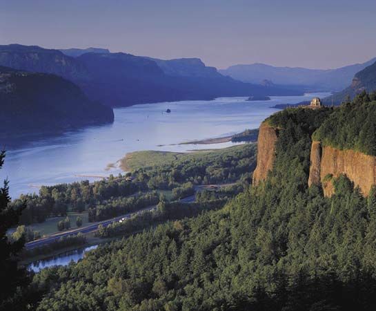
- Columbia River: Flowing west from the Rocky Mountains to the Pacific Ocean, the Columbia River is a key waterway in the Pacific Northwest.
- Colorado River: Also originating in the Rockies, the Colorado River is essential for water supply in the arid Southwest.
- St. Lawrence River: Part of the Great Lakes–St. Lawrence system, this network forms one of the world’s most important inland waterways, allowing ocean vessels to penetrate deep into the continent.
Sources
- Big Stone Lake — Encyclopædia Britannica
- Big Stone — Merriam-Webster
- Lake Agassiz — Encyclopædia Britannica
- reservoir — Encyclopædia Britannica
- dam - Spillways — Encyclopædia Britannica
- floodgate — Encyclopædia Britannica
- river - Peak discharge and flooding — Encyclopædia Britannica
- North America - Drainage — Encyclopædia Britannica
- Mississippi River — Encyclopædia Britannica
- United States - The Eastern systems — Encyclopædia Britannica
- Mississippi River - Modern commercial activity — Encyclopædia Britannica
Published on · 3 min read