Blackfoot River
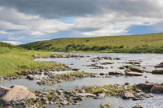
The Blackfoot River is a 95-mile-long (153 km) watercourse located in southeastern Idaho, United States. It is formed by the confluence of Slug and Lanes…
What is Blackfoot River?
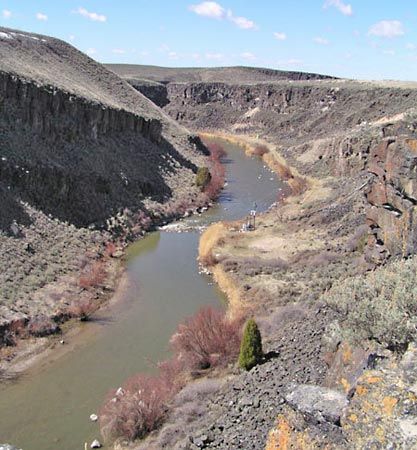
The Blackfoot River is a 95-mile-long (153 km) watercourse located in southeastern Idaho, United States1. It is formed by the confluence of Slug and Lanes creeks near the Caribou-Targhee National Forest in Caribou County. The river flows northwestward through the Blackfoot River Reservoir—which is utilized for irrigation—before turning west to join the Snake River in Bingham County Snake River in Bingham County. The river is named for the Blackfoot people.1
It is important to distinguish this river from the geography associated with the Blackfoot (or Blackfeet) people, an Indigenous North American confederacy historically based in Montana and Alberta, whose traditional territory extended to the headwaters of the Missouri River.2
What is the significance of the Snake River in the American West?
The Snake River is a vital waterway in the American West, serving as the largest tributary of the Columbia River and a central feature of the Pacific Northwest’s geography and history. Stretching 1,040 miles (1,670 km), it originates in Wyoming and flows across southern Idaho before joining the Columbia in Washington.45
Its significance is multifaceted:
- Historical Migration: During the 19th century, the river’s relatively level plain provided a crucial route for pioneers traveling along the Oregon Trail, facilitating westward expansion.6
- Economic and Infrastructure Utility: The river is essential for hydroelectric power generation and large-scale irrigation, which support the region’s agriculture.4
- Environmental Impact: The construction of dams, particularly on the lower river, has been a subject of intense debate due to the decline of native fish populations. This has led to significant environmental initiatives, including discussions regarding dam removal to restore salmon spawning grounds.7
- Geological Features: The river carved Hells Canyon, the deepest river gorge in North America, and features notable landmarks like Shoshone Falls4.
How do irrigation reservoirs impact local river ecosystems?
Irrigation reservoirs and the dams that create them significantly alter local river ecosystems by modifying natural water flow and sediment transport. While these structures help manage water supply for agriculture, they often lead to the destruction of native fish habitats and the displacement of local species.89
Key environmental impacts include:
- Sediment Trapping: Reservoirs impound water, causing flow velocity to decrease and sediment to settle. This deprives downstream areas of natural silt, which can lead to increased erosion of riverbanks as the sediment-starved water regains its transporting capacity.810
- Habitat Alteration: The creation of reservoirs can inundate wetlands and terrestrial habitats, forcing the relocation of wildlife and threatening endangered species.109
- Flow Regulation: By mitigating natural flood and drought cycles, dams can desiccate downstream marshlands and prevent the natural replenishment of soil nutrients.9
- Water Quality and Loss: Reservoirs are subject to significant water loss through evaporation and seepage, which can concentrate mineral residues and lead to soil salinization in irrigated areas.89
What are some other major rivers that flow through the Rocky Mountains?
Several major river systems originate in or flow through the Rocky Mountains, serving as critical water sources for the American West. Notable examples include:
- Colorado River: Rising in the Colorado Rockies, this major river flows for 1,450 miles toward the Gulf of California. It is a vital, heavily developed water source often called the “Lifeline of the Southwest.”12
- Missouri River: Formed by the confluence of the Jefferson, Madison, and Gallatin rivers in the Montana Rockies, it is the longest tributary of the Mississippi River.13
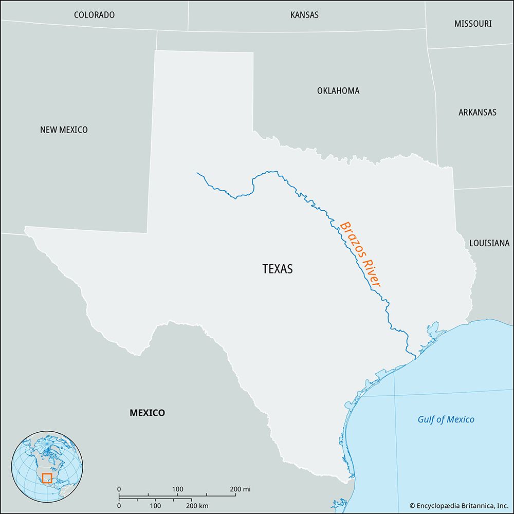
- Rio Grande: This river begins as a snow-fed stream more than 12,000 feet above sea level in the Rockies, eventually forming the border between Texas and Mexico.14
- Yampa River: Rising in the White River National Forest of northwestern Colorado, this river flows through the deep Yampa Canyon before joining the Green River near the Utah border.15
Sources
- Blackfoot River — Encyclopædia Britannica
- Blackfoot — Encyclopædia Britannica
- Milk River — Encyclopædia Britannica
- Snake River — Encyclopædia Britannica
- How long was the Oregon Trail? — Encyclopædia Britannica
- dam - Fish passes — Encyclopædia Britannica
- Snake — Merriam-Webster
- reservoir — Encyclopædia Britannica
- water infrastructure in India - Reservoirs — Encyclopædia Britannica
- Yangtze River - Human impact on the environment — Encyclopædia Britannica
- Tigris-Euphrates river system: Top Questions — Encyclopædia Britannica
- Colorado River — Encyclopædia Britannica
- Missouri River — Encyclopædia Britannica
- Rio Grande — Encyclopædia Britannica
- Rocky Mountains - Water resources — Encyclopædia Britannica
- United States - The Pacific systems — Encyclopædia Britannica
- Yampa River — Encyclopædia Britannica
Published on · 3 min read