Book Cliffs
The Book Cliffs are a prominent geological feature located in east-central Utah and western Colorado, United States.
What is Book Cliffs?
The Book Cliffs are a prominent geological feature located in east-central Utah and western Colorado, United States.1
This 2,000-foot-tall (610-metre) mountain wall stretches for 250 miles (400 km) along the Tavaputs and Roan plateaus, beginning near Helper, Utah, and terminating near Grand Junction, Colorado. It is recognized as the longest continuous escarpment in the world. The name derives from the appearance of the cliffs when viewed in oblique light, which resembles a book lying on its side. The region is largely rugged, with much of the land managed by the federal government for grazing or as wilderness areas.1
What is an escarpment?
An escarpment is a steep slope or long cliff that separates two areas of differing elevations. These features are often formed by geological processes, such as the uplift or subsidence of the Earth’s crust, which can create significant changes in topography.234
Commonly referred to by synonyms such as cliffs, bluffs, or scarps, escarpments can be composed of rock, earth, or ice. While tectonic forces build the major structures of the Earth, erosional processes often work to sculpt the specific relief and profile of these landforms over time.234
How do plateaus form over time?
Plateaus are extensive areas of flat upland characterized by low relative relief and significant altitude. Their formation generally results from three primary tectonic processes, which often operate in combination:56
Primary Formative Processes
- Thermal Expansion: When the lithosphere is heated—often by upwelling material in the asthenosphere—the resulting warming causes the surface to rise. If the original terrain was flat, it remains relatively level as it is uplifted. The Ethiopian Plateau and parts of East Africa were formed this way.6
- Crustal Shortening: This process thickens the Earth’s crust, creating high mountains along the margins of a region. If internal drainage causes streams to deposit debris in the valleys between these mountains, a plateau can form. These are essentially mountain ranges buried in their own sediment, such as the Plateau of Tibet.6
- Volcanism: Extensive lava flows, known as flood basalts, can bury preexisting terrain under thick layers of volcanic rock. The Columbia Plateau is a prime example of this process.6
The Colorado Plateau is notable for its stability; its flat surface is defined by erosion-resistant sedimentary rock layers that have remained largely undeformed for over a billion years.6
What kind of wildlife lives in the Book Cliffs region?
The Book Cliffs, a 250-mile-long escarpment spanning east-central Utah and western Colorado, are characterized by rugged terrain that serves as a significant wilderness area. While the provided search results do not contain a specific inventory of wildlife unique to the Book Cliffs themselves, the region is situated within the broader ecological context of the Rocky Mountains, which supports a diverse array of fauna.17
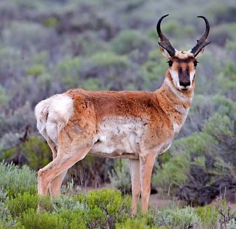
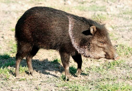
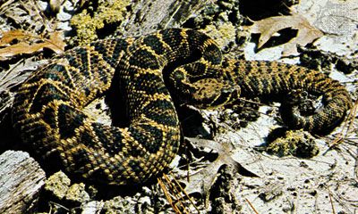
In the arid southern reaches of this mountain system, wildlife typically includes desert-adapted species such as the pronghorn, jackrabbit, peccary, and rattlesnake. Additionally, the surrounding plateaus and valleys often host mammals like the prairie dog and various raptors, including the golden eagle and peregrine falcon, which are known to inhabit the wider region.7
Sources
- Book Cliffs — Encyclopædia Britannica
- escarpments — Merriam-Webster
- escarpment — Merriam-Webster
- tectonic landform — Encyclopædia Britannica
- plateau - Formative processes — Encyclopædia Britannica
- plateau — Encyclopædia Britannica
- Rocky Mountains - Animal life — Encyclopædia Britannica
Published on · 2 min read