Bouvet Island
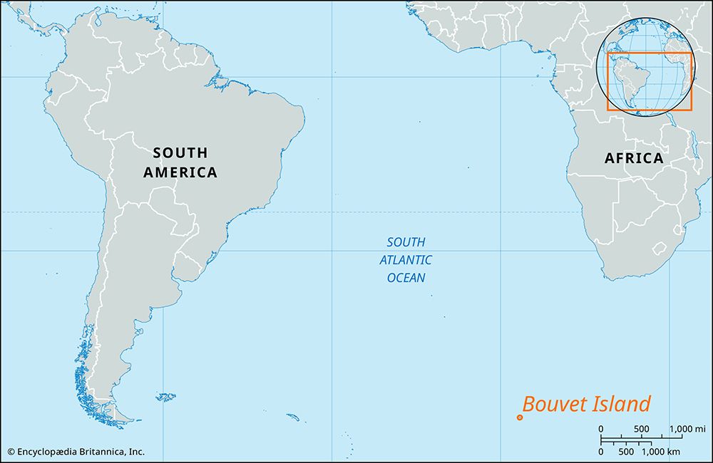
Bouvet Island is an isolated, uninhabited islet situated in the South Atlantic Ocean, located at approximately 54° south latitude and 5° east longitude. It…
Where is Bouvet Island located and what are its geographical features?
Bouvet Island is an isolated, uninhabited islet situated in the South Atlantic Ocean, located at approximately 54° south latitude and 5° east longitude. It lies roughly 1,500 miles southwest of the Cape of Good Hope and 1,000 miles north of Antarctica.12
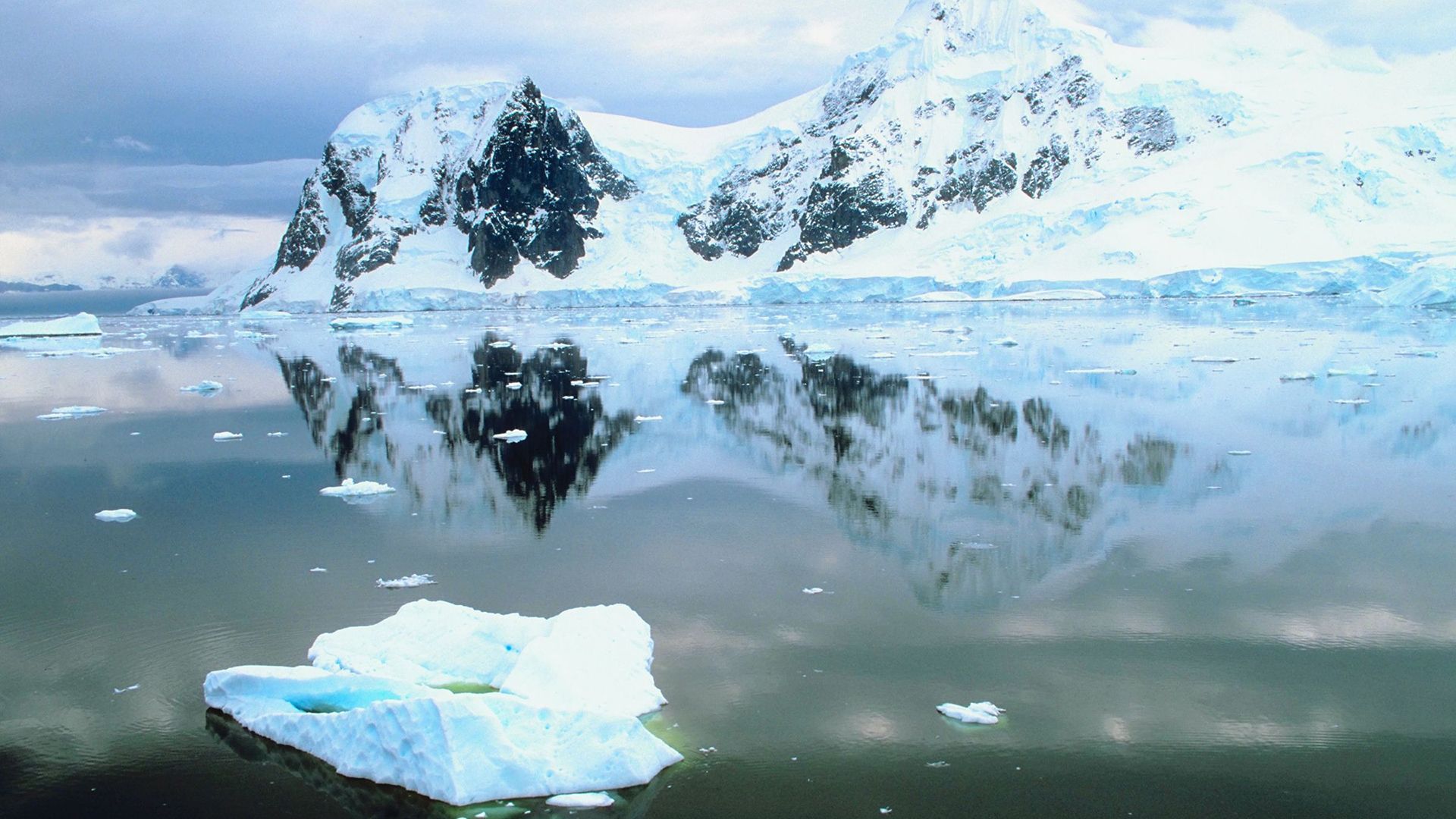
Geographically, the island is of volcanic origin and covers an area of 23 square miles (59 square km). It is characterized by a rocky, rugged terrain that reaches an elevation of 3,068 feet (935 meters). The island is almost entirely covered by ice, with steep ice cliffs surrounding its coastline, which makes landing there extremely difficult. Due to its unique environment, the island has been designated as a nature reserve by Norway, which annexed the territory in 1930.1
Are there any permanent human settlements on Bouvet Island, and if not, why?
There are no permanent human settlements on Bouvet Island. The island is entirely uninhabited due to its extreme isolation and inhospitable physical environment.
The island is characterized by rugged, volcanic terrain that is almost completely covered by ice, with steep ice cliffs surrounding the coastline that make landing extremely difficult. While Norway once considered the island for a potential whaling station following its annexation in 1930, these plans did not lead to permanent habitation. Today, the island is protected as a nature reserve, further precluding human settlement.
How and when was Bouvet Island discovered, and who claimed it?
Bouvet Island was discovered in 1739 by the French navigator Jean-Baptiste-Charles Bouvet de Lozier, for whom the island is named.1
Following its initial discovery, the island was rediscovered by a German expedition in 1898. Later, Norwegian expeditions to the Antarctic during the 1920s sought to claim the territory for use as a potential whaling station. The Norwegian flag was first hoisted over the island in December 1927, and it was formally annexed to Norway by royal decree on February 27, 1930.1
What potential resources, if any, does Bouvet Island possess that might be of interest to Norway or other nations?
Bouvet Island does not possess significant resources that are currently of interest for exploitation. Historically, the island was considered by Norway as a potential base for the whaling industry during the 1920s, which served as the primary motivation for its annexation.1
However, the island’s extreme isolation, rugged volcanic terrain, and near-total ice coverage make it physically inhospitable and difficult to access. Because the island was declared a nature reserve by the Norwegian government in 1971, any potential for resource extraction is effectively prohibited, and the territory is now managed primarily for its environmental and scientific value.1
Sources
- Bouvet Island — Encyclopædia Britannica
- Bouvet — Merriam-Webster
Published on · 2 min read