Burnett River
The Burnett River is a 270-mile (435-km) river located in southeastern Queensland, Australia. It rises on the western slope of the Burnett Range, east of the…
What is Burnett River?
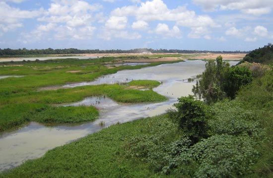
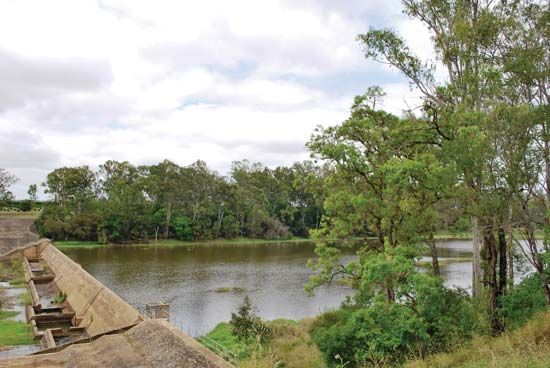
The Burnett River is a 270-mile (435-km) river located in southeastern Queensland, Australia. It rises on the western slope of the Burnett Range, east of the Eastern Highlands, and flows through a catchment area of 12,440 square miles (32,220 square km) before entering the Pacific Ocean at Burnett Heads.1
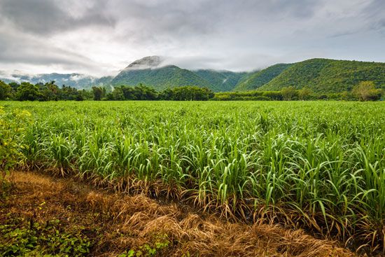
The river’s course takes it southwest to Eidsvold, then east at Mundubbera, and finally northeast through Gayndah and Bundaberg. Its upper reaches support beef-cattle country, while the downstream areas are characterized by dairy farms and sugarcane cultivation. Navigability is restricted to the 10 miles below Bundaberg. The river was named after surveyor J.C. Burnett, who explored the region in 1847.1
What are the main agricultural products grown in the Burnett River region?
The Burnett River region supports a diverse range of agricultural activities, reflecting the varied landscape from its upper reaches to the coast.
The primary agricultural products and industries in the region include:
- Beef Cattle: The upper reaches of the river are primarily used for grazing and support the region’s beef-cattle industry.1
- Sugarcane: Downstream areas are dominated by large-scale sugarcane plantations. This industry is central to the local economy, particularly around the city of Bundaberg, which hosts sugar mills and refineries.13
- Dairy: Dairy farming is a significant agricultural activity in the lower sections of the river basin.13
- Timber: The region has a history of timber production, which continues to be an industry of note.3
In addition to these primary products, the region processes agricultural outputs into goods such as golden syrup (treacle) and rum.3
Who was J.C. Burnett and why is he significant to Australian geography?
James Charles Burnett was a colonial surveyor whose work was instrumental in the mapping and exploration of southeastern Queensland, Australia.
His primary significance to Australian geography lies in his 1847 exploration of the region that now bears his name. By surveying the area, Burnett provided critical geographical data that facilitated the identification of land suitable for pastoral and agricultural development, such as the beef-cattle country and fertile river basins that define the region today. In recognition of his contributions to the mapping of the territory, the Burnett River was named in his honor.
How do the river’s tributaries influence its overall water flow?
The Burnett River’s water flow is shaped by its catchment area, which spans 12,440 square miles (32,220 square km). While the provided search results identify the Auburn and Boyne rivers and Barambah Creek as the chief tributaries that feed into the main course of the Burnett River, they do not contain specific data regarding the precise quantitative influence these tributaries have on the river’s overall water flow volume or seasonal discharge patterns.14
We could dive deeper into the hydrological characteristics of the Burnett River basin or explore how regional climate patterns in Queensland affect the flow of major Australian river systems.
Sources
- Burnett River — Encyclopædia Britannica
- list of rivers - Australia — Encyclopædia Britannica
- Bundaberg — Encyclopædia Britannica
- tributaries — Merriam-Webster
Published on · 2 min read