Cannonball River
The Cannonball River is a 295-mile (475 km) waterway located in the U.S. state of North Dakota. It originates in the Badlands of the southwestern part of the…
What is Cannonball River?
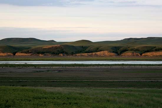
The Cannonball River is a 295-mile (475 km) waterway located in the U.S. state of North Dakota. It originates in the Badlands of the southwestern part of the state and flows southeast until it meets Cedar Creek near the Standing Rock Sioux reservation. From there, the river turns northeast, eventually emptying into the Missouri River south of Bismarck.1
The river’s name is believed to have been inspired by the distinct, spheroidal rock formations found along its banks.1
How did the river get its name from the rocks found nearby?
The name of the Cannonball River is derived from the unique, spherical rock formations that are found along its banks. These geological features, known as concretions, are often perfectly round, resembling the shape of cannonballs, which led to the river’s descriptive name.1
What is the significance of the Standing Rock Sioux reservation?
The Standing Rock Sioux reservation holds significant historical and contemporary importance, particularly as the site of a major movement for Indigenous rights and environmental protection.
The Standing Rock Protests
In 2016 and 2017, the reservation became the focal point of the Standing Rock protests, a massive campaign to halt the construction of the Dakota Access pipeline. Members of the Standing Rock Sioux Tribe argued that the pipeline threatened their water supply and crossed through sacred land and burial sites.23
Historical and Legal Significance
The conflict highlighted ongoing tensions regarding treaty rights. The tribe maintained that the land in question remained their sovereign territory under the The conflict highlighted ongoing tensions regarding treaty rights. The tribe maintained that the land in question remained their sovereign territory under the 1851 Treaty of Fort Laramie. The protests grew into the largest gathering of Native Americans in over a century, with representatives from more than 100 tribes joining the “water protectors” to advocate for tribal sovereignty and environmental justice.245
The events at Standing Rock are widely viewed by historians and legal scholars as a significant moment in modern civil disobedience, signaling a new paradigm for Indigenous activism and corporate accountability.2
What are the main features of the North Dakota Badlands?
The North Dakota Badlands, located in the far western part of the state, are a striking landscape shaped primarily by the forces of water and wind erosion along the Little Missouri River.6
Key features of this region include:
- Topography: The area is characterized by spectacular cliffs, buttes, and valleys. These formations are part of the broader Great Plains region, specifically the Missouri Plateau.6
- Theodore Roosevelt National Park: Much of the iconic badlands scenery is preserved within this park, which is divided into North and South units. The landscape here transitions between rugged, eroded badlands and expansive grassland prairies.7
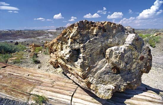
- Geological Diversity: The region contains significant natural history, including petrified forests, as well as deposits of aquatic fossils and dinosaur skeletons.78
- Elevation: The area contains the highest point in North Dakota, White Butte, which reaches an elevation of 3,506 feet (1,069 meters).6
- Ecosystem: While the eroded slopes are often bare, the surrounding Little Missouri National Grassland supports diverse wildlife, including bison, elk, bighorn sheep, and various bird species.78
Sources
- Cannonball River — Encyclopædia Britannica
- Standing Rock protests — Encyclopædia Britannica
- Oceti Sakowin - 21st century — Encyclopædia Britannica
- Dakota Access Pipeline - Con 2: The Dakota Access Pipeline is being built on sacred land guaranteed to the Oceti Sakowin (Sioux) by treaty. — Encyclopædia Britannica
- Dakota Access Pipeline — Encyclopædia Britannica
- Theodore Roosevelt National Park — Encyclopædia Britannica
- Badlands — Encyclopædia Britannica
- badland — Encyclopædia Britannica
- Badlands National Park — Encyclopædia Britannica
- Little Missouri National Grassland — Encyclopædia Britannica
- North Dakota - Relief — Encyclopædia Britannica
Published on · 2 min read