Buru
Buru is a mountainous and heavily wooded island located in the Moluccas province of Indonesia.
What are the primary economic activities and natural resources on Buru Island?
Buru is a mountainous and heavily wooded island located in the Moluccas province of Indonesia.1
Regarding its economic activities and natural resources, the island is primarily known for the production of sago and various forest products. While the island features a narrow coastal plain and is surrounded by coral reefs, its rugged, forested interior remains a defining geographical characteristic.1
Where is Buru Island located within Indonesia?
Buru is an island situated in the Moluccas province of Indonesia. It is located 42 miles (68 km) west of the island of Seram across the Manipa Strait and is administered from Ambon as part of the Maluku Tengah regency.1
What languages are spoken on Buru Island and how do they relate to other Indonesian languages?
The primary language spoken on Buru Island is Buruese.1
Linguistically, Buruese is classified as part of the Central Malayo-Polynesian (CMP) languages, a major subgroup of the Austronesian language family. This family encompasses the vast majority of languages spoken throughout Indonesia.12
The Central Malayo-Polynesian group is found across much of eastern Indonesia, including the Lesser Sunda Islands and most of the Moluccas. While these languages share certain defining characteristics, they are often distinct from one another, and in eastern Indonesia, it is common for each island to have its own language that may not be mutually intelligible with those of neighboring islands.12
While local languages like Buruese are used within their respective communities, Indonesian (Bahasa Indonesia) serves as the national language and the primary medium for education, media, and formal communication across the archipelago.2
What is the geographical and ecological significance of Buru Island?
Buru is a significant island in the Moluccas province of Indonesia, covering an area of approximately 3,670 square miles (9,505 square km). Its geography is characterized by rugged, mountainous terrain, with its highest peak reaching 7,967 feet (2,428 metres). The island features a narrow coastal plain and is surrounded by coral reefs, which are vital to its marine ecosystem.1
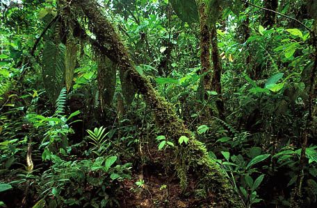
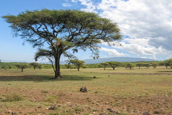
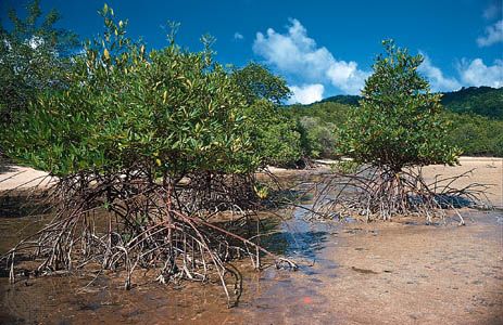
Ecologically, the island is part of the broader Moluccas region, which serves as a critical transition zone between Asian and Australian flora and fauna. This unique positioning results in a high concentration of species that are endemic to the region. While parts of the Moluccas have been cleared for agriculture, much of the landscape remains covered in dense, evergreen rainforest, interspersed with patches of open savanna and coastal mangrove swamps.6
Beyond its natural features, the island is known for its production of forest products and sago, and it maintains a strategic harbor and airport at Namlea on its northeastern coast.1
Sources
- Buru — Encyclopædia Britannica
- Austronesian languages - Major languages — Encyclopædia Britannica
- Austronesian languages - Central Malayo-Polynesian (CMP) — Encyclopædia Britannica
- Indonesia - Languages — Encyclopædia Britannica
- Sino-Tibetan languages - Classification — Encyclopædia Britannica
- Moluccas — Encyclopædia Britannica
Published on · 2 min read