Cagayan River
The Cagayan River is the longest river on the island of Luzon in the Philippines. Spanning approximately 220 miles (350 kilometers), it originates in the…
What is Cagayan River?
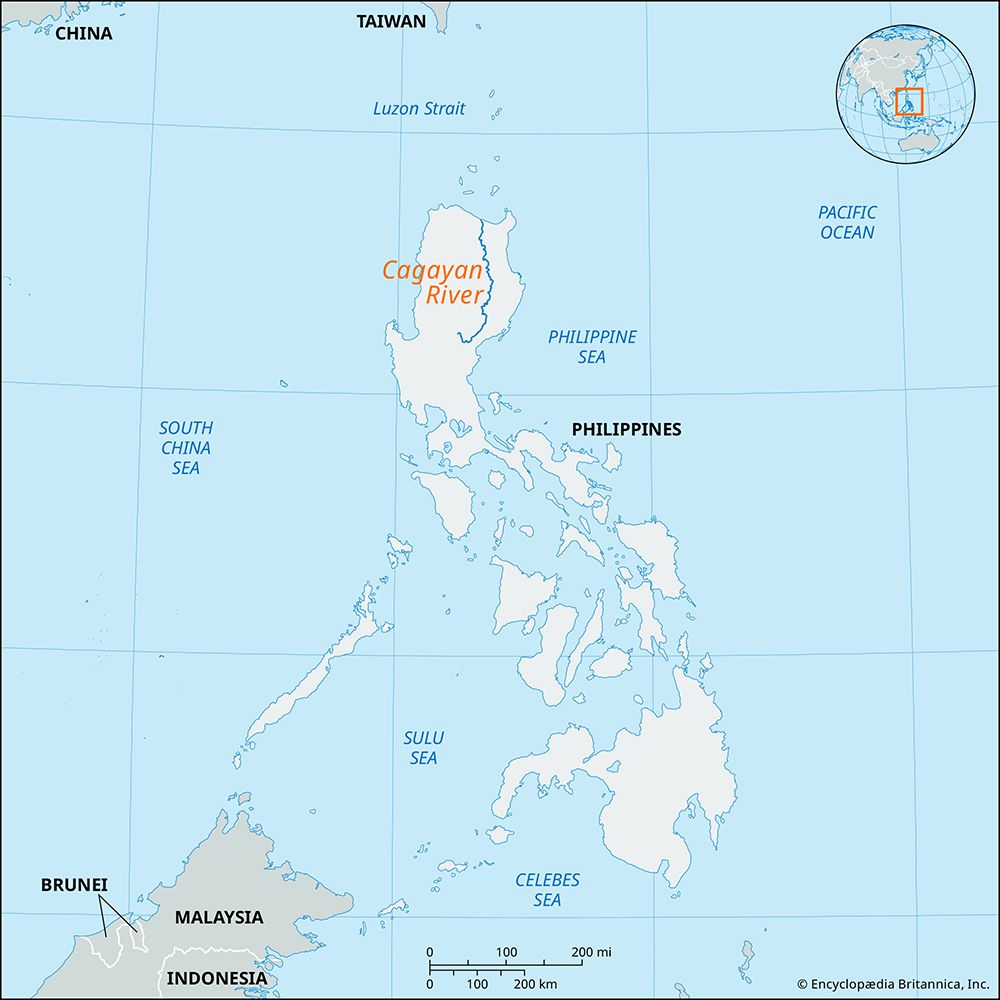
The Cagayan River is the longest river on the island of Luzon in the Philippines. Spanning approximately 220 miles (350 kilometers), it originates in the Sierra Madre mountains and follows a winding northward path.1
The river flows through a 50-mile-wide fertile valley that serves as a vital agricultural region for the production of rice and tobacco. Major towns situated along its banks include Ilagan, Isabela, Tuguegarao, and Cagayan. Its primary tributaries are the Chico, Magat, and Ilagan rivers. The river eventually reaches the ocean at Aparri, emptying into the Babuyan Channel of the Luzon Strait. It plays a significant role in the drainage of the northern plain located between the Sierra Madre and the Cordillera Central.12
What are the main crops grown in the Cagayan Valley?
The Cagayan Valley is a highly productive agricultural region, primarily known for the cultivation of two major crops:
- Rice: A staple crop grown extensively throughout the fertile valley.1
- Tobacco: A significant cash crop that has historically been a key component of the region’s agricultural output.1
These crops thrive due to the fertile land surrounding the Cagayan River, which provides the necessary irrigation and nutrient-rich soil for large-scale farming.1
How do rivers like the Cagayan shape the geography of the Philippines?
Rivers like the Cagayan are fundamental to the geography of the Philippines, acting as primary agents of drainage and land formation. By carving through mountainous terrain, these waterways create expansive, fertile plains that support the nation’s agricultural economy.12
The Cagayan River, for instance, drains the northern plain situated between the Sierra Madre and the Cordillera Central, depositing nutrient-rich sediment that sustains large-scale rice and tobacco cultivation. Similarly, rivers such as the Agno and Pampanga shape the central plains of Luzon. The Pampanga River specifically influences the landscape by forming a wide, swampy delta and the expansive Candaba Swamp, which serves as a critical hydrological feature.123
Beyond agriculture, these rivers dictate settlement patterns, as major towns historically develop along their banks to leverage trade and water access. While some, like the Pasig River, have faced challenges with navigability and pollution, they remain central to the country’s physical and economic geography.12
What are some other major river systems in the Philippines?
Beyond the Cagayan River, the Philippines features several other significant river systems that are vital to the nation’s geography and economy. These include:
- Agno River: Located in northwestern Luzon, this 128-mile-long river drains the northern portion of the central plain.12
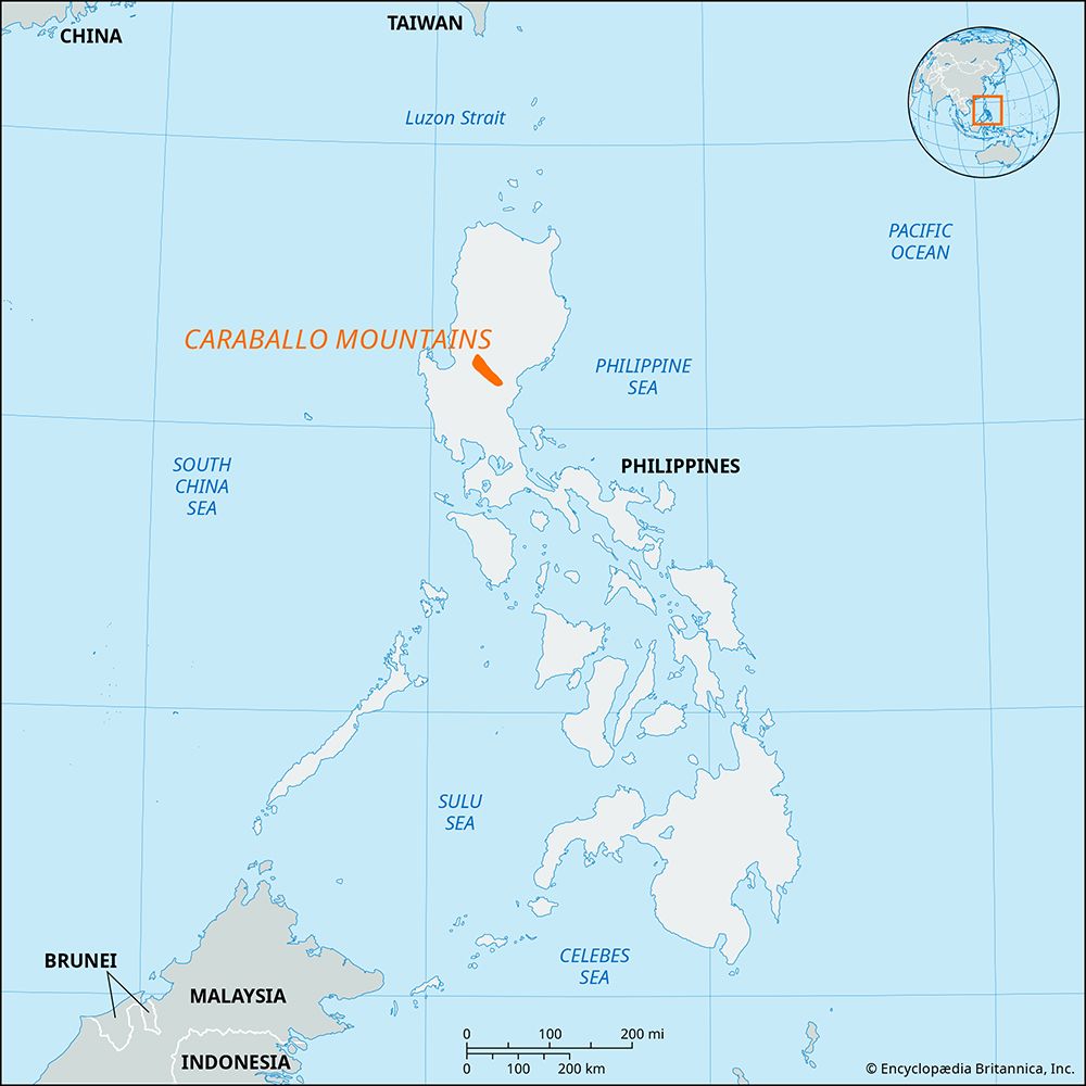
- Pampanga River: Rising in the Caraballo Mountains, it flows southward to Manila Bay, forming a wide, swampy delta and the expansive Candaba Swamp.13
- Pasig River: Historically a crucial nexus for trade in Manila, it remains a central, though currently polluted, waterway.1
- Mindanao River (Río Grande de Mindanao): This major system drains the Cotabato Valley in the southwestern part of the island of Mindanao.1
- Agusan River: The longest river in Mindanao, it flows northward through a fertile valley and serves as a key route for the region’s forest and agricultural industries.14
- Puerto Princesa Subterranean River: A unique underground waterway on the island of Palawan that emerges directly into the ocean.1
Sources
- Cagayan River — Encyclopædia Britannica
- Philippines - Drainage — Encyclopædia Britannica
- Pampanga River — Encyclopædia Britannica
- Agno — Merriam-Webster
- Agusan River — Encyclopædia Britannica
Published on · 2 min read