Cape Fear River
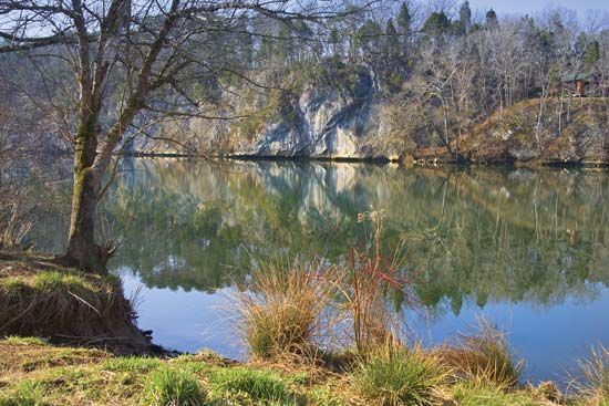
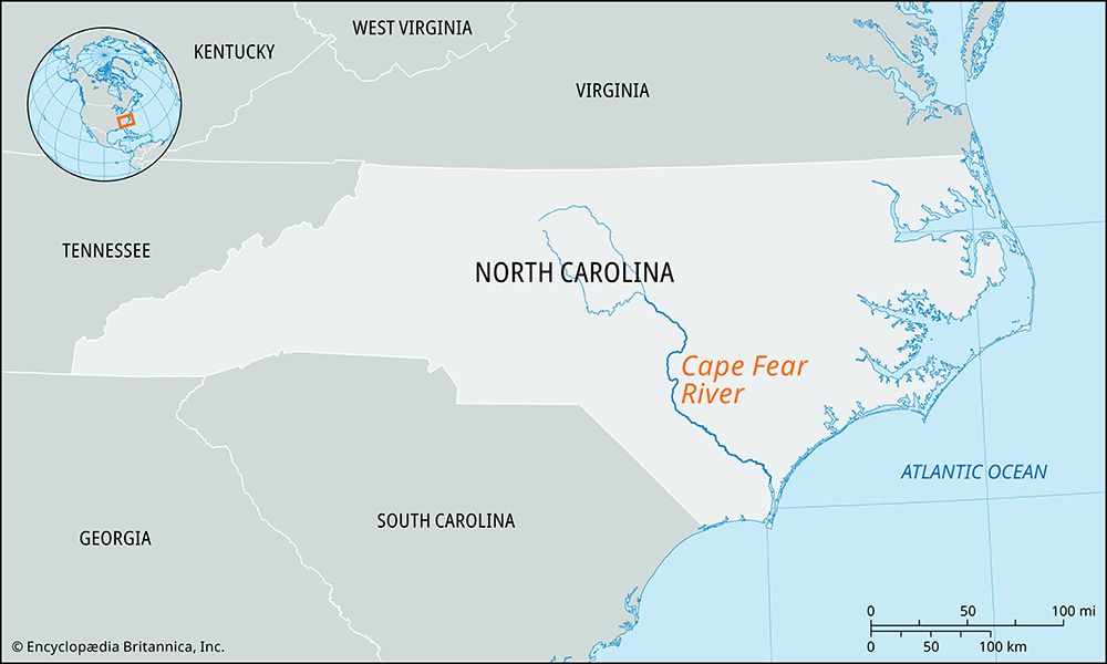
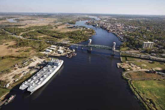
The Cape Fear River in central and southeastern North Carolina flows approximately 200 miles southeast toward the Atlantic Ocean. Several notable cities and…
What are some of the major cities and towns located along the Cape Fear River?
The Cape Fear River in central and southeastern North Carolina flows approximately 200 miles southeast toward the Atlantic Ocean. Several notable cities and towns are situated along its course:
- Fayetteville: Located in the interior, this city is connected to the coast by a series of locks and dams that make the river navigable from this point down to the sea.1
- Elizabethtown: This town is situated along the river’s path as it flows toward the coast.1
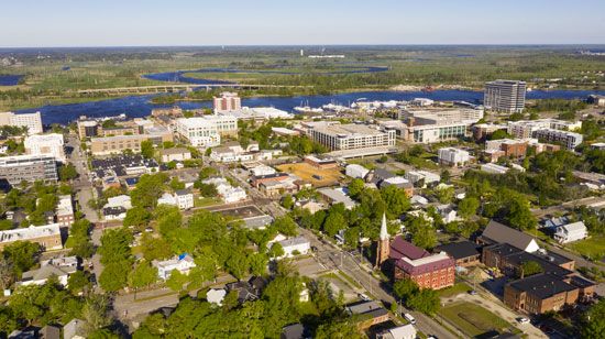
- Wilmington: Serving as the state’s chief seaport, this city is located on the river about 30 miles above its mouth. It has a rich history, having served as a major center for blockade-running during the American Civil War.2
- Southport: This town is located at the river’s mouth, where it enters the Atlantic Ocean opposite Smith Island.1
What is the total length of the Cape Fear River, and how does it compare to other major rivers in North Carolina?
The Cape Fear River has a total length of approximately 200 to 202 miles (320 to 325 km). While it is a significant waterway, it is shorter than other major rivers in the state, such as the Neuse River, which flows for about 275 miles.134
Despite not being the longest, the Cape Fear River basin is the largest in North Carolina, occupying much of the state’s southeastern quadrant. In comparison, other major rivers serve different regions: the Roanoke River drains the northeastern corner, the Pee Dee River bisects the state from north to south, and rivers like the Little Tennessee and French Broad flow northwest from the mountains into Tennessee.5
Where does the Cape Fear River originate, and where does it flow into?
The Cape Fear River originates in central North Carolina at the confluence of the Deep River and the Haw River, located along the boundary between Chatham and Lee counties.
From this point, the river flows generally southeast for approximately 200 miles before entering the Atlantic Ocean at Southport, opposite Smith Island.
How did the Cape Fear River get its name, and what is the story behind it?
The Cape Fear River derives its name from the nearby Cape Fear, a prominent headland located at the southern tip of Smith Island in North Carolina. The name reflects the historical reputation of the area, which is characterized by dangerous shoals that posed significant hazards to early maritime navigation.
The cape itself was sighted by the Italian explorer Giovanni da Verrazzano in early March 1524 during his voyage along the North American coast. While the river is named for the cape, the region has also gained modern cultural recognition as the setting for the suspenseful film noir titled Cape Fear, which was adapted from the 1958 novel The Executioner by John MacDonald.
Sources
- Cape Fear River — Encyclopædia Britannica
- Wilmington — Encyclopædia Britannica
- Cape Fear — Merriam-Webster
- North Carolina - Drainage and soils — Encyclopædia Britannica
- Neuse River — Encyclopædia Britannica
- Fear, Cape — Merriam-Webster
- Giovanni da Verrazzano — Encyclopædia Britannica
Published on · 2 min read