Caroline Islands
The Caroline Islands archipelago has a total land area of approximately 500 square miles (1,300 square km). While the archipelago is composed of a vast…
What is the total land area of the Caroline Islands, and how many islands make up the archipelago?
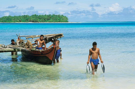
The Caroline Islands archipelago has a total land area of approximately 500 square miles (1,300 square km). While the archipelago is composed of a vast number of islands and islets—the Federated States of Micronesia alone contains more than 600 of them—the total count of individual islands making up the entire archipelago is not specified as a single definitive figure in the provided records.12
It is important to distinguish this archipelago from Caroline Atoll, which is a separate coral formation located in the Line Islands and is not part of the Caroline Islands archipelago.3
What role did the Caroline Islands play during World War II?
During World War II, the Caroline Islands served as a critical strategic stronghold for Japan, which had held the archipelago as a League of Nations mandate since 1919 and heavily fortified the islands prior to the war.4
Key roles and events involving the Caroline Islands included:
- Strategic Headquarters: The island of Truk (now Chuuk) served as the capital of the archipelago and the headquarters for the Japanese Combined Fleet, earning it the nickname “the Gibraltar of the Pacific.”5
- Allied Neutralization: In February 1944, U.S. forces launched massive air attacks on Truk, destroying approximately 275–300 aircraft and 200,000 tons of merchant shipping. Following this devastation, the Allies determined the base was too isolated and weakened to pose a threat, choosing to bypass it rather than invade.65
- Defense Planning: The islands were integral to Japan’s “Operation A,” a defense strategy that relied on land-based aircraft stationed in the Carolines, the Mariana Islands, and western New Guinea to counter Allied advances.6
- Occupation: By the end of the war, the islands were occupied by the United States, eventually becoming part of a UN trust territory under U.S. jurisdiction in 1947.4
What is the geological formation and history of the Caroline Islands?
The Caroline Islands are divided into two distinct physiographic units based on their geological formation:
- Eastern Islands: These consist of coral caps that surmount mountains of volcanic origin.
- Western Islands: These are sections of Earth’s crust that have been folded and pushed above the ocean surface.
Both units feature formations that rise to elevations exceeding 500 feet (150 meters).
The history of the archipelago is marked by diverse influences and shifting colonial control:
- Early History: The eastern islands were likely settled before the 2nd century CE, and trade goods from China reached the western islands by the 7th century.
- Colonial Era: Spanish navigators visited in the 16th century, naming the islands for King Charles II, though colonization did not occur until the 19th century. Following the Spanish-American War in 1898, the islands were sold to Germany.
- 20th Century: Japan seized the islands in 1914 and held them as a League of Nations mandate after 1919. During World War II, the United States occupied the islands, later administering them as a UN trust territory until its dissolution in 1986.1
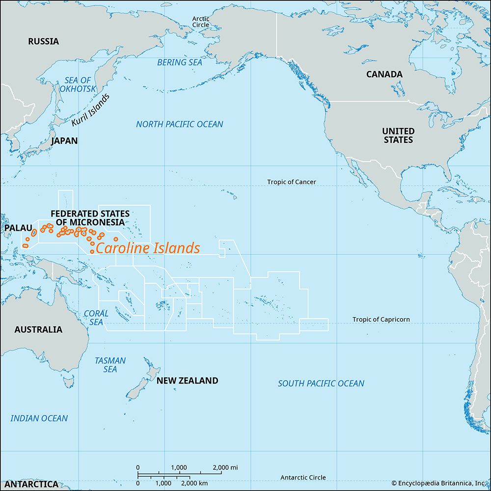
Where are the Caroline Islands located in the Pacific Ocean?
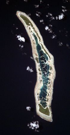
The Caroline Islands are located in the western Pacific Ocean1. This archipelago comprises the republics of Palau and the Federated States of Micronesia.12
It is important to distinguish this archipelago from the Caroline Atoll, which is a separate, much smaller coral formation located in the southwestern Pacific Ocean as part of Kiribati.3
Sources
- Caroline Islands — Encyclopædia Britannica
- Caroline Atoll — Encyclopædia Britannica
- Micronesia — Encyclopædia Britannica
- World War II - The central Pacific — Encyclopædia Britannica
- World War II - The Solomons, Papua, Madagascar, the Aleutians, and Burma, July 1942–May 1943 — Encyclopædia Britannica
- Pacific War - The Central Pacific Islands — Encyclopædia Britannica
Published on · 3 min read