Chattahoochee River
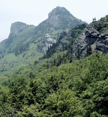
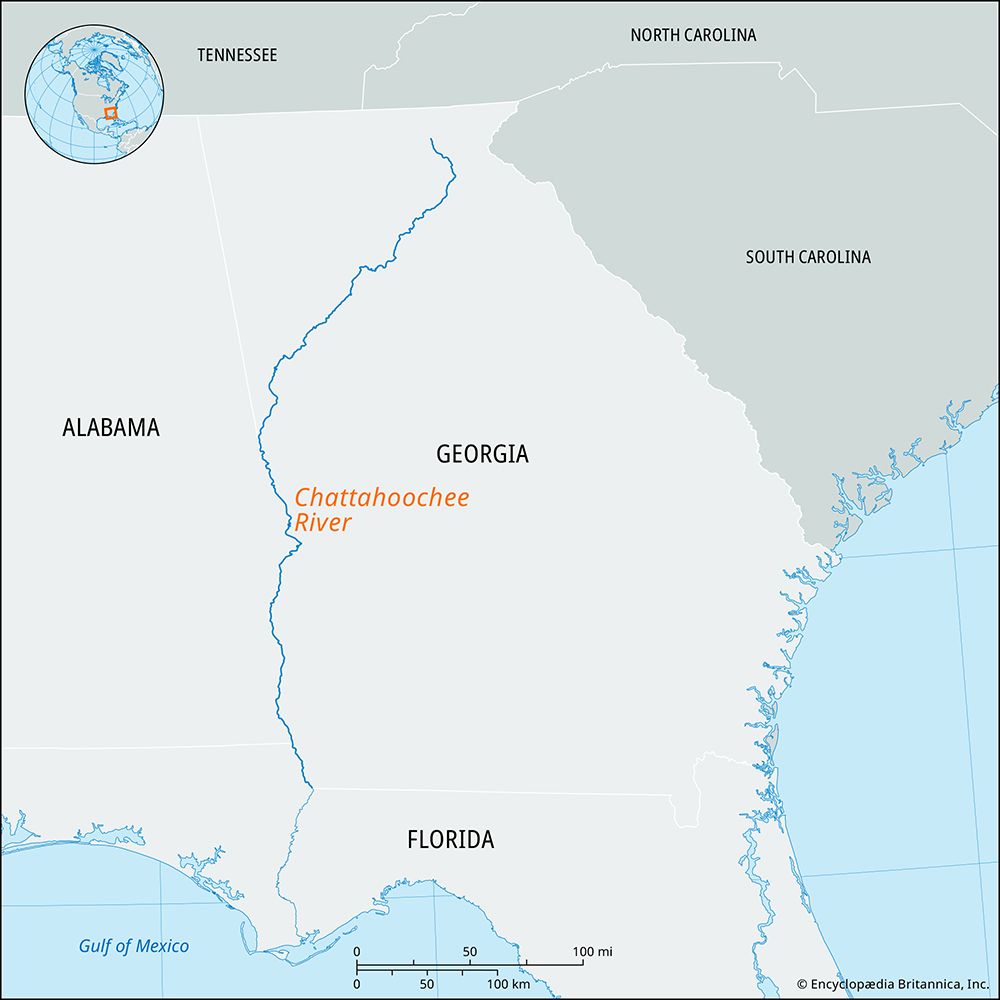
The Chattahoochee River originates in the Blue Ridge Mountains of northeastern Georgia, U.S.
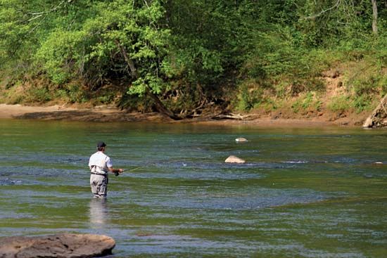
Where does the Chattahoochee River originate, and which states does it flow through?
The Chattahoochee River originates in the Blue Ridge Mountains of northeastern Georgia, U.S.1
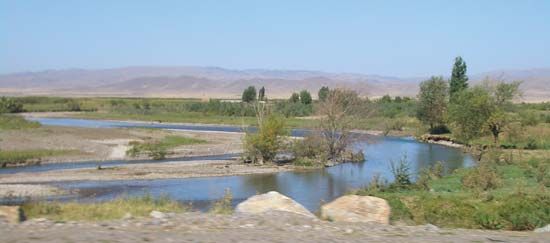
The river flows southwestward across northern Georgia. Throughout its 436-mile course, it serves as a boundary between Georgia and Alabama, as well as between Georgia and Florida. It eventually joins the Flint River at Chattahoochee, Florida, to form the Apalachicola River.1
What is the historical significance of the Chattahoochee River for Native American tribes and early European settlers?
The Chattahoochee River has long served as a vital cultural and geographic landmark. Its name is believed to originate from an early Native American village and likely translates to “cornmeal” or “pounded rock,” reflecting the river’s deep integration into the lives of indigenous peoples. Evidence of this long-standing presence is preserved at sites such as Kolomoki Mounds State Park, which was developed around prehistoric burial grounds.1
During the era of early European settlement and expansion, the river region became a site of intense conflict. The Creek War (1813–14) saw the Muscogee (Creek) people fighting to defend their sovereignty against white expansion into their territories. This period of struggle culminated in events like the Battle of Horseshoe Bend, which ultimately facilitated further displacement of tribes, including the eventual forced removal known as the Trail of Tears.2
How does the Chattahoochee River contribute to the water supply and hydroelectric power generation in the region?
The Chattahoochee River is a critical resource for water management and energy production in the region. Its flow is regulated by several major structures that facilitate both water supply and hydroelectric power generation.1
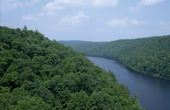
- Water Supply: Northeast of Atlanta, the Buford Dam creates Lake Sidney Lanier, which serves as a primary water reservoir for the surrounding metropolitan area.1
- Hydroelectric Power: The river supports energy production through multiple dams. North of Columbus, the river features the Bartlett’s Ferry Dam and the Goat Rock Dam. Additionally, the Jim Woodruff Dam, located at the river’s confluence with the Flint River, forms Lake Seminole and contributes to the region’s power infrastructure.1
We could dive deeper into the environmental impact of these dams or explore the history of urban development along the river.
What is the total length of the Chattahoochee River, and how does it compare to other major rivers in the United States?
The Chattahoochee River has a total length of approximately 436 miles (702 km).13
Compared to the major river systems of the United States, the Chattahoochee is relatively modest in scale. While North America is home to massive drainage systems—such as the Mississippi-Missouri-Ohio system, the St. Lawrence, and the Yukon—which span thousands of miles and drain vast continental regions, the Chattahoochee is a regional river primarily serving the southeastern United States. Unlike the continent’s longest rivers that rise in the Rocky Mountains or the Canadian Shield and traverse immense distances to reach the sea, the Chattahoochee flows from the Blue Ridge Mountains to the Gulf of Mexico via the Apalachicola River.41
Sources
- Chattahoochee River — Encyclopædia Britannica
- Battle of Horseshoe Bend — Encyclopædia Britannica
- North America - Drainage — Encyclopædia Britannica
- Chattahoochee — Merriam-Webster
Published on · 2 min read